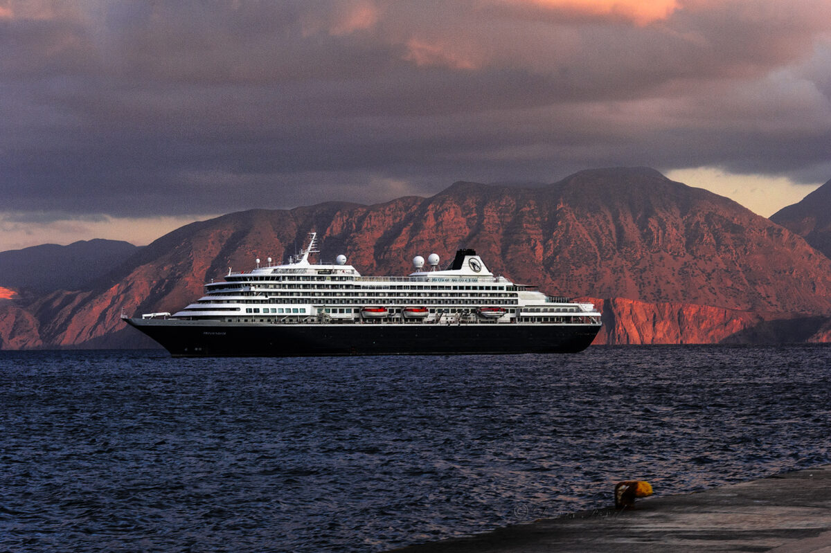
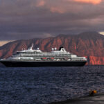
Cruising in the Great Australian Bight off the coast of Southern Australia to our next port of call, Adelaide.


Adelaide;
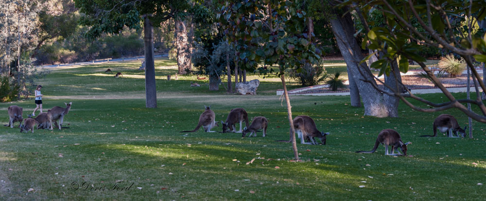
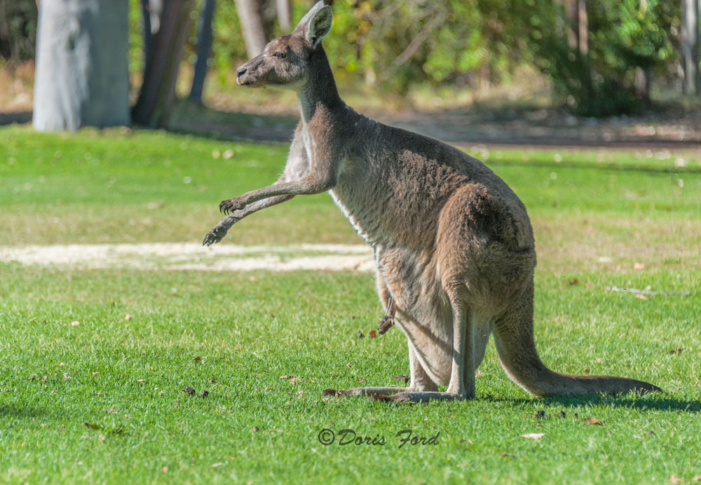
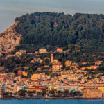
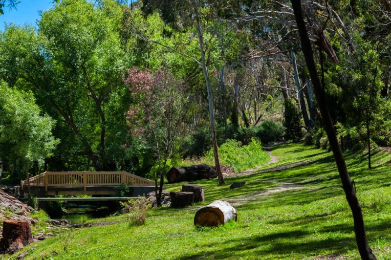
A great city with lots of green parks and a enjoyable climate. We had two wonderful days here. One day we had a car and drove to Hahndorf, Bridgewater, the McClearn Wine district and ended the evening with a trip to Granite Island to see the Fairy Penguins come in from the sea.
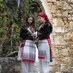
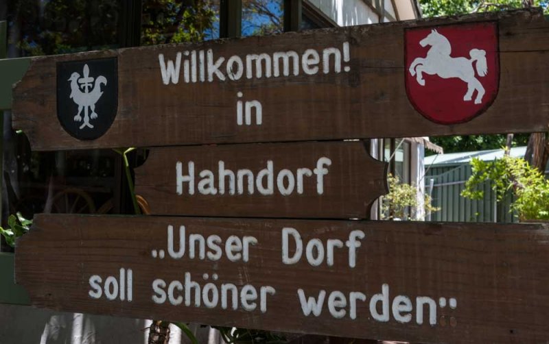
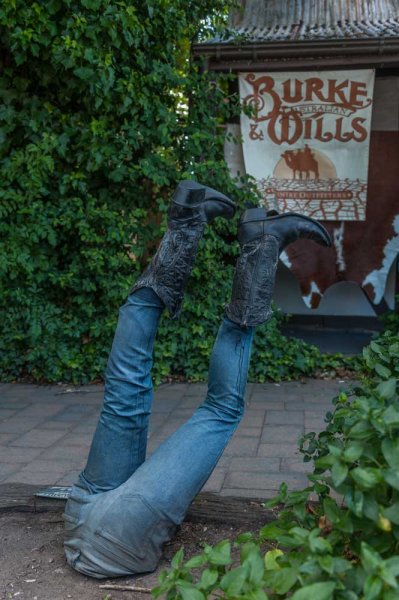
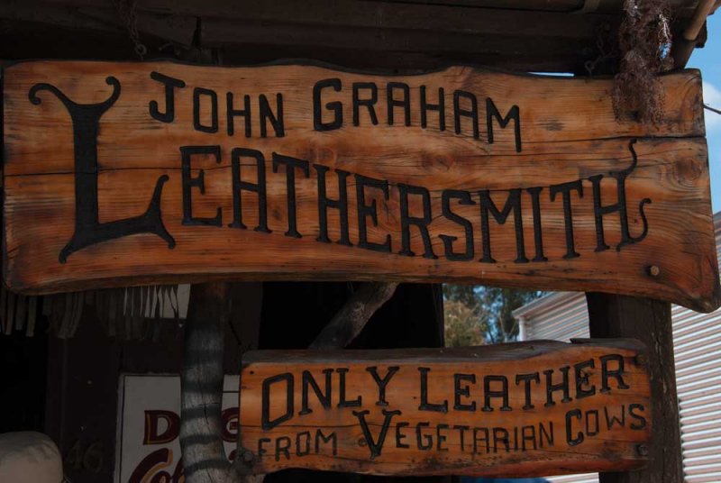
Handorf is Australia’s oldest surviving German settlement in the heart of the Adelaide Hills. This picturesque German village is just twenty minutes out of Adelaide and settled in 1839 by Lutherans fleeing religious persecution in Prussia. We had great fun strolling the streets, and admiring the many special articles for sale.
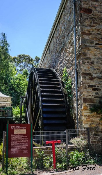
Bridgewater is a pleasant village nestled in the Adelaide Hills with beautiful scenery and a huge water wheel that was used as a flour mill.
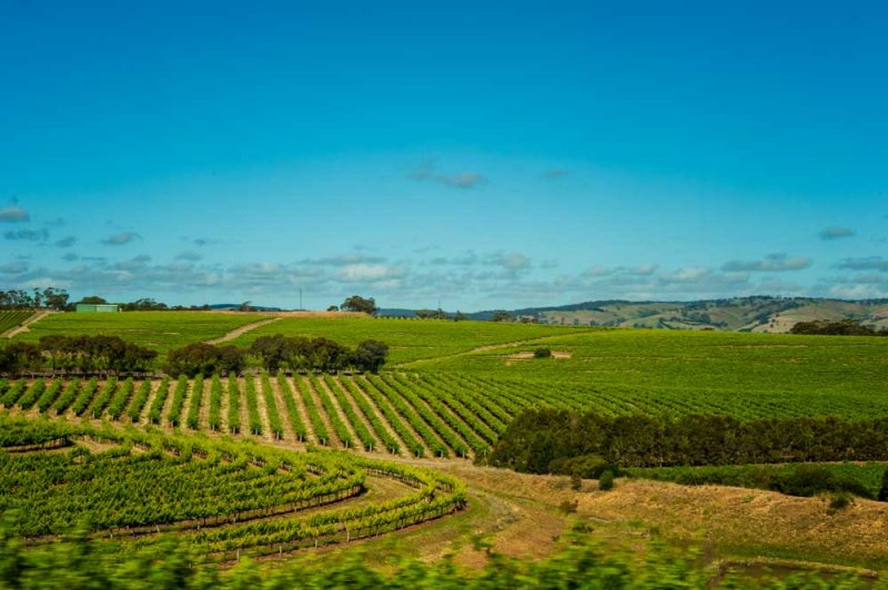
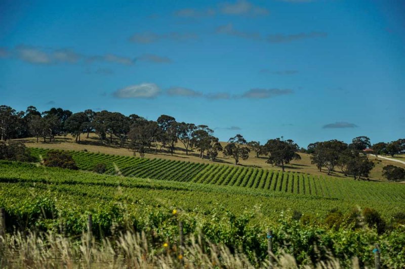
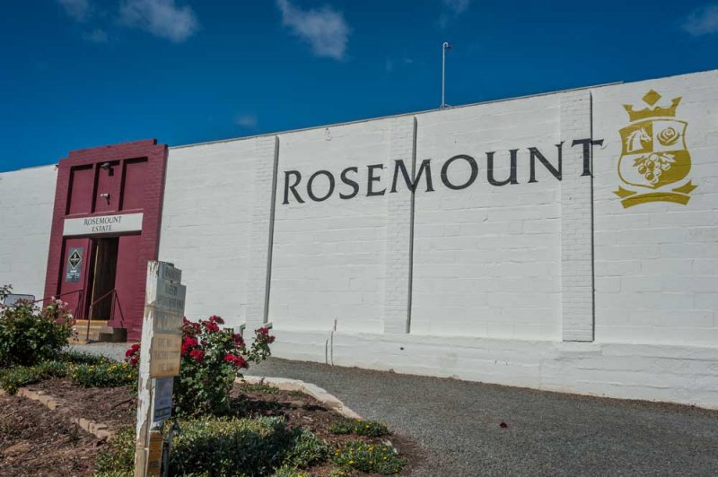
Rolling hills with green fields of grape vines made for an enjoyable drive while visiting a few vineyards in the area.
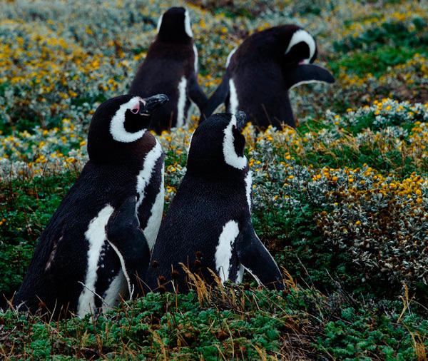
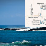
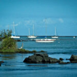
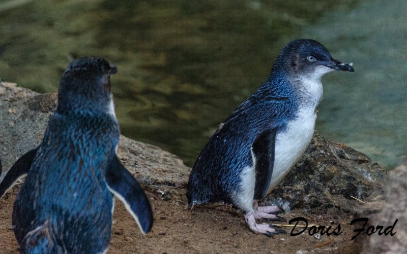
The Fairy or Blue Penguins (Eudyptula minor) as they are often called, are the smallest penguins in the World. There is a colony on the Granite Island near Adeliade, and we visited the island in the evening to see the penguins come in from the sea to their nests in the nearby rocks. They come in at dusk to try to escape the sea lions and other predators who would kill them.
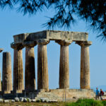
The second day we drove around the historic areas of Adelaide and North Adelaide, then turned in the car and walked the streets! All along a main street there are wonderful museums. The Governors House was open, and that happens only twice a year so we were honored and toured his house and gardens. We had a special treat at one of the venders on the grounds, Homemade Ice cream made with Native Plant flavoring. UmUm
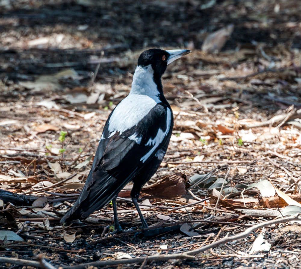
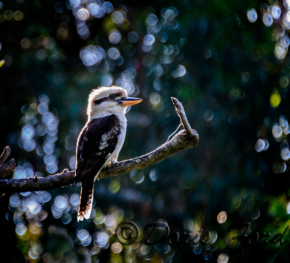
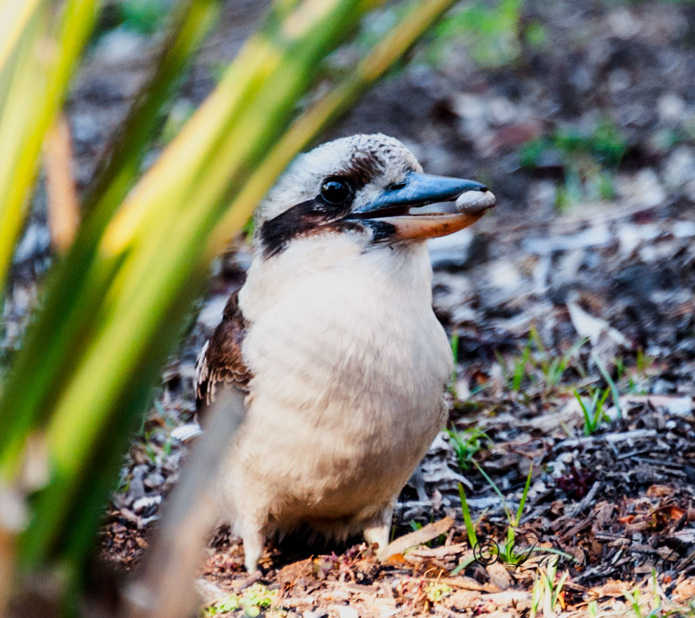
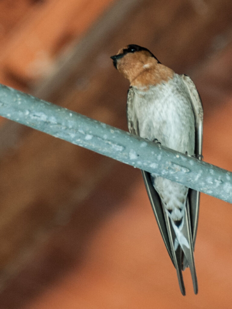
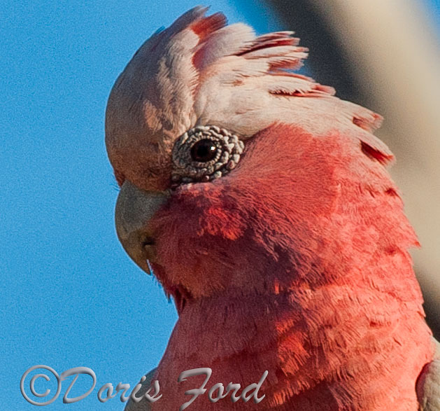
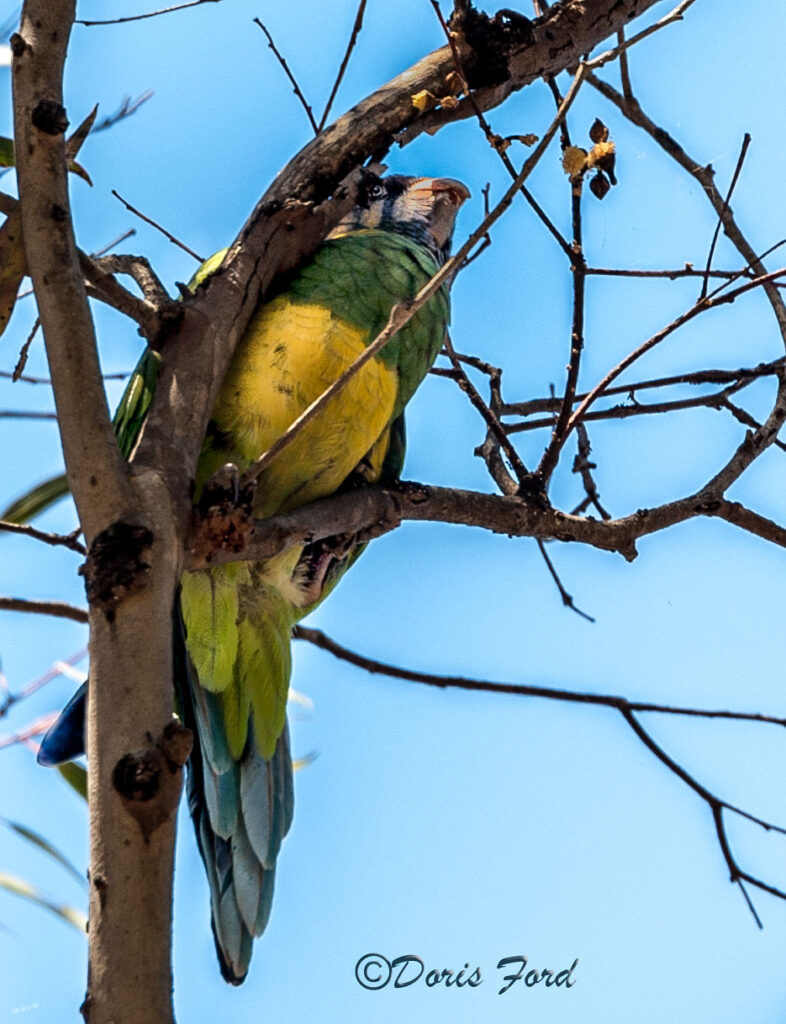
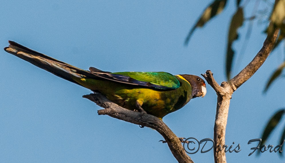
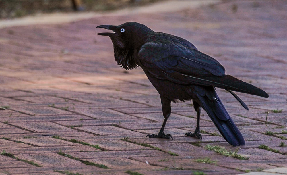
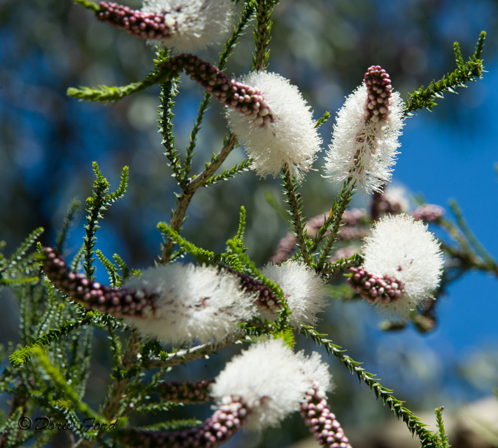
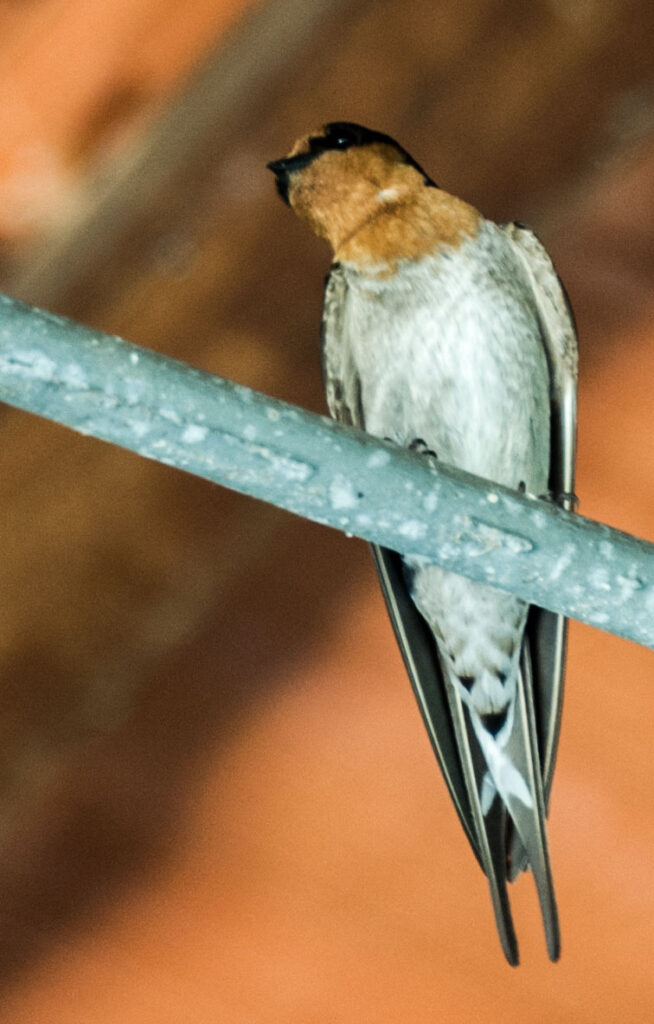
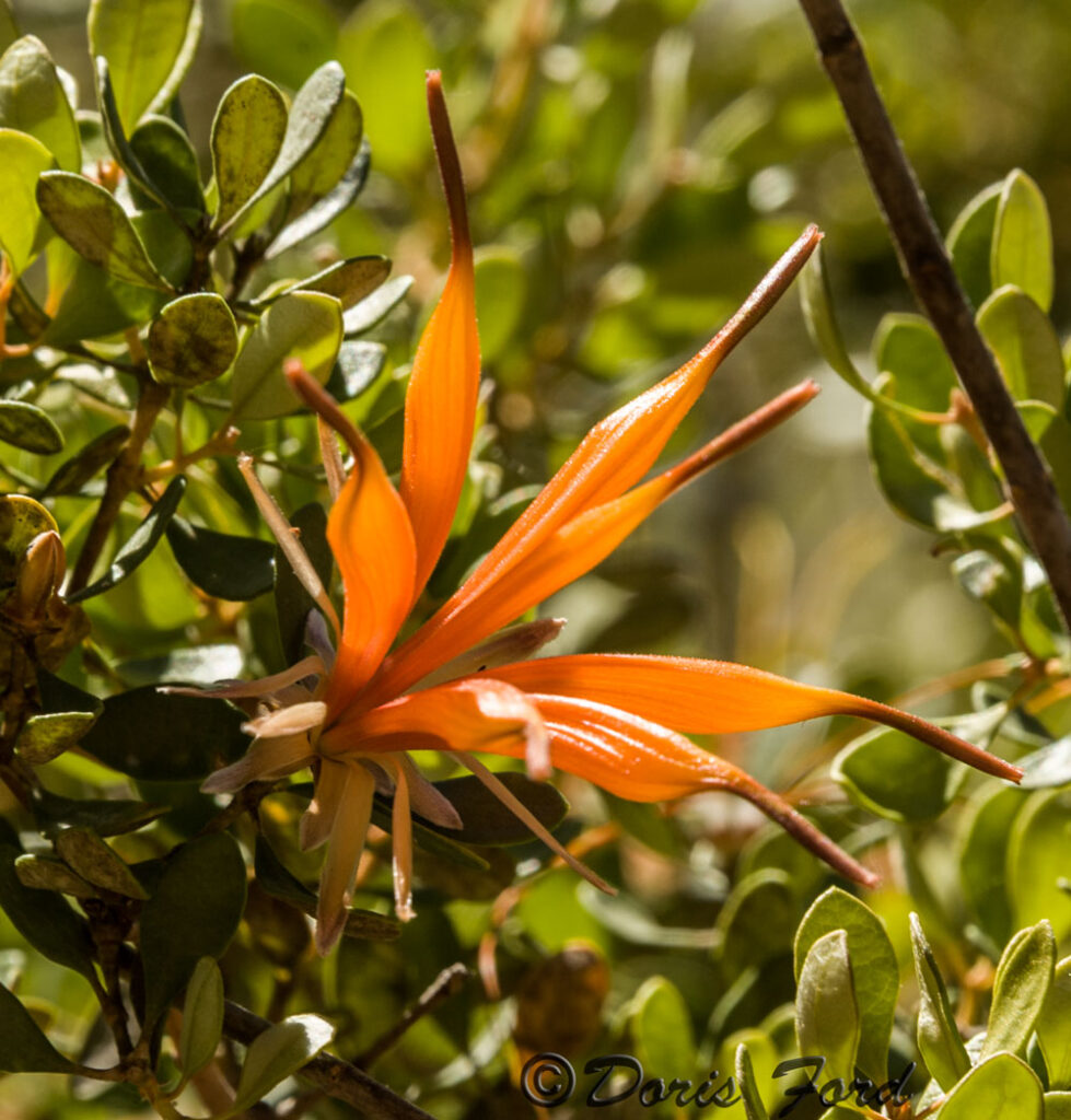
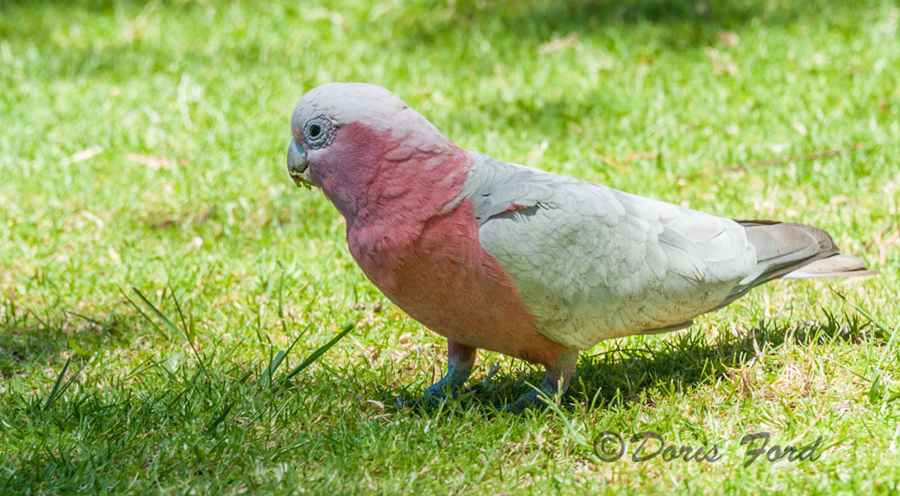
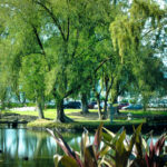
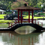
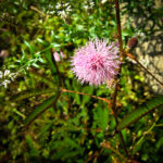
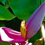
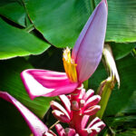
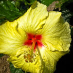
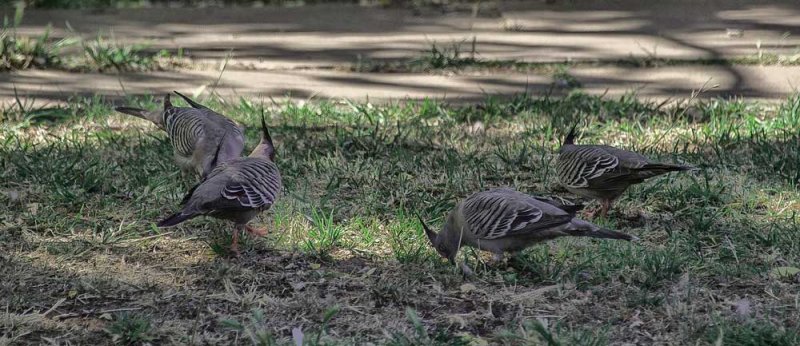
We visited the South Australia Museum and what a great Museum it is. We could have spent much more time there, but we moved on to the Art Museum. We tried to focus on the Australian Art primarily the Aboriginal Art. We had learned some about this expressive art and quite like some of them. After the Art Museum we walked to the Botanical Gardens. A beautiful area in the city with of course a large variety of plants and bird life. Just watching the ducks and other birds was fun, and it was good to sit down for a bit. All birds seem to be different here in Australia, pelicans are a beautiful white and black, the magpie are also a beautiful white and black. I have seen no sparrows, the most common birds appear to be the cockatoos, galahs and the parrot types To the natives they are pests! One tree in the Botanical Gardens was full of the parrots and we stayed there for some time trying to get the perfect picture. These little parrots are so colorful and were very busy flying from one blossom to the next all in the same tree.
Walking down the street called Rundle Mall a piece of art caught our attention entitled “A Day Out” by Marguerite Derricourt. It includes four bronze pigs who look completely at home on the street; one of them is even rummaging in a trash can!
The artwork was commissioned as part of an upgrade to Rundle Mall in 1999. A public competition led to each of the pigs being named. Horatio is the sitting pig, Oliver is the one rooting in the trash and the other two are called Augusta and Truffles. They are quite cute, and I used a picture of them for a Birthday Card for a friend who collects pigs.
Beautiful art work was also noted on some walls of buildings around town, we did not find out the history behind those amazing pictures.
An interesting building nearing completion we called the pineapple building; later we found out it is The South Australian Health and Medical Research Institute.
The ship was to leave Adelaide at 11:30 the second day, but we were tired so came “home” to the ship on the 6:15 train. We had kangaroo and crocodile on the dinner menu. and they tasted great! Kangaroo is the best meat, as it is low in fat. The crocodile was served in a curry.
www.australia.com/explore/cities/adelaide.aspx
https://www.adelaidesightseeing.com.au/must-see-and-do-adelaide-and-s…
www.southaustralia.com