Travels–Google Map update
World Traveler–So much to see–so little time!
View My Travels in a larger map
Related Images:


Travels–Google Map update
World Traveler–So much to see–so little time!
View My Travels in a larger map
Rotterdam ship bell–Each HAL ship seems to have a bell, some times it is just hard to find it!

One doesn’t see phone booths very often anymore,
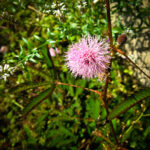
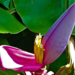
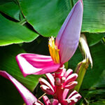
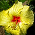
These caught my attention in Hilo,
and they are also “prettier” than most!

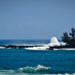
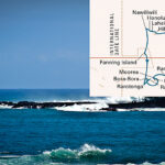
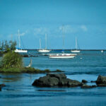
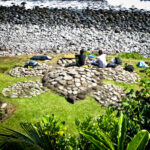
On a recent Cruise on Holland America Line we traveled from San Diego to Hilo Hawaii– our first siting of land! The trip map is featured on the first picture in the gallery

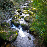
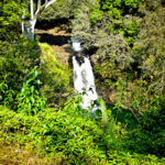
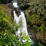
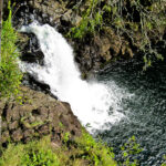
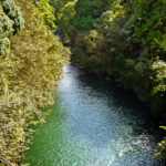
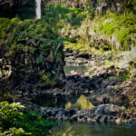
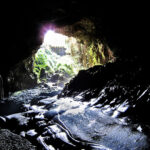
The Wailuku River rushes through old lava rocks and lava tubes creating a “boiling” effect. The Kaumana Caves are reached by climbing down an almost vertical staircase. These caves were formed by the 1881 eruption of Mauna Loa.
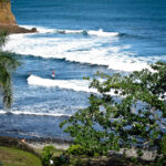
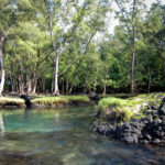
A trek through white sand lagoons filled with a mixture of salt water and artesian well water from below the surface and surrounded by unique lava formations, leads one to a beautiful sheltered lagoon in which to swim.