


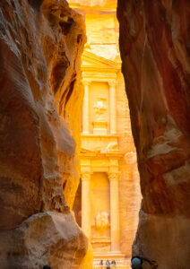
Al Siq
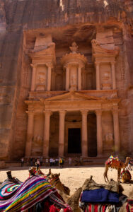
Treasury
Petra Jordan, an historic and archaeological site in southern Jordan, dating to around 300 B.C. Photos of the Treasury, and the first view After walking down the canyon to the first view called Al Siq. It is thought that the Nabataeans might have settled as early as the 4th century BC Petra fell to the Romans in 106 AD.
It is a UNESCO World Heritage Site
https://whc.unesco.org, https://wwwnationalgeographic.com
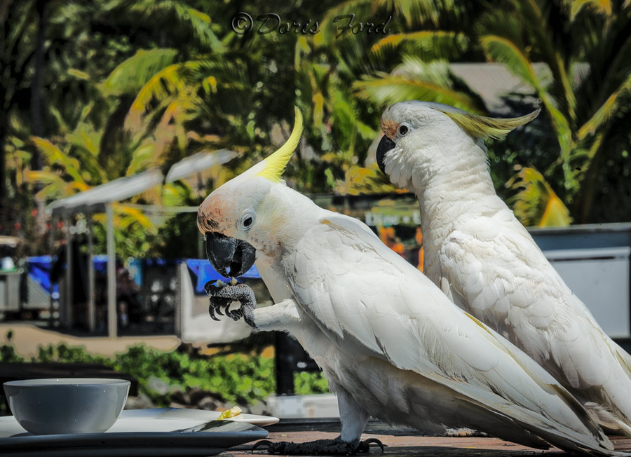
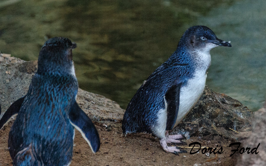
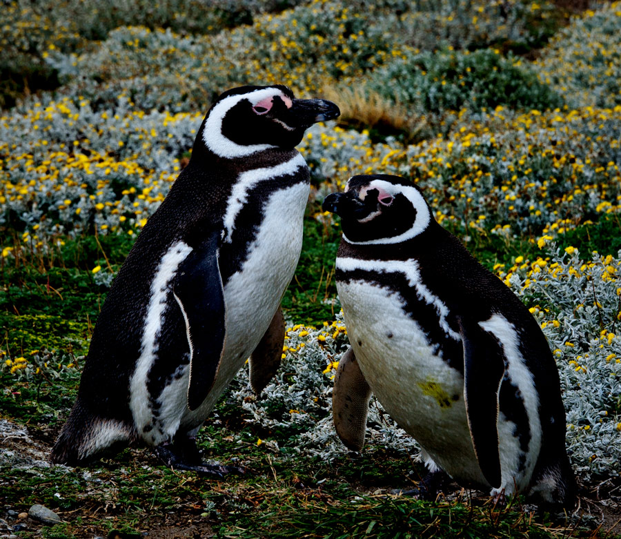
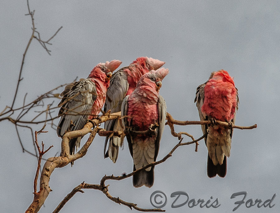
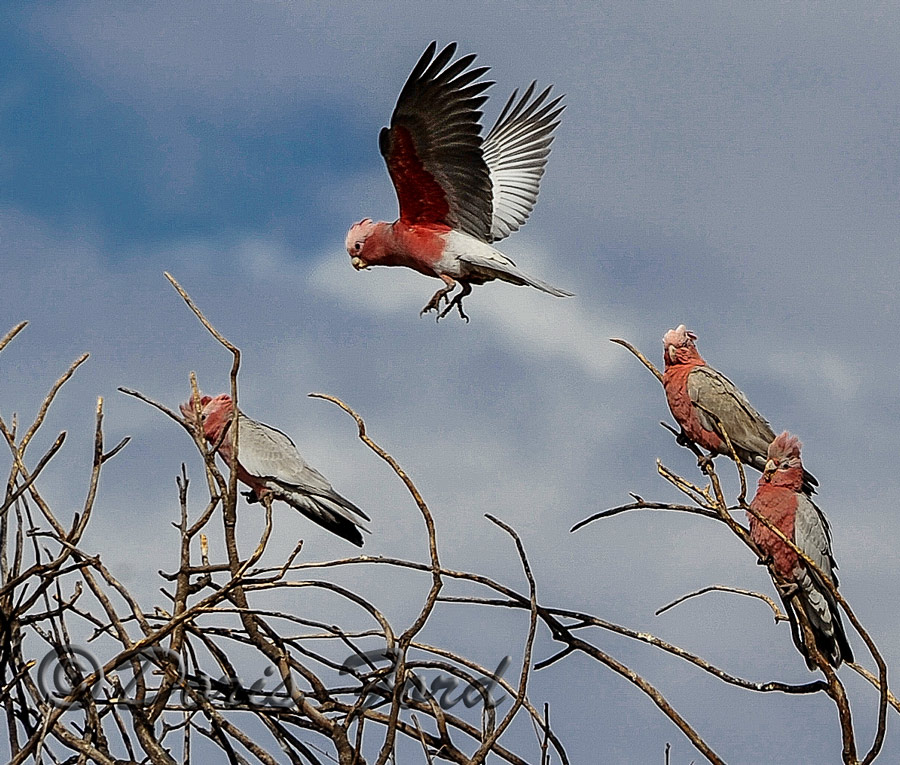

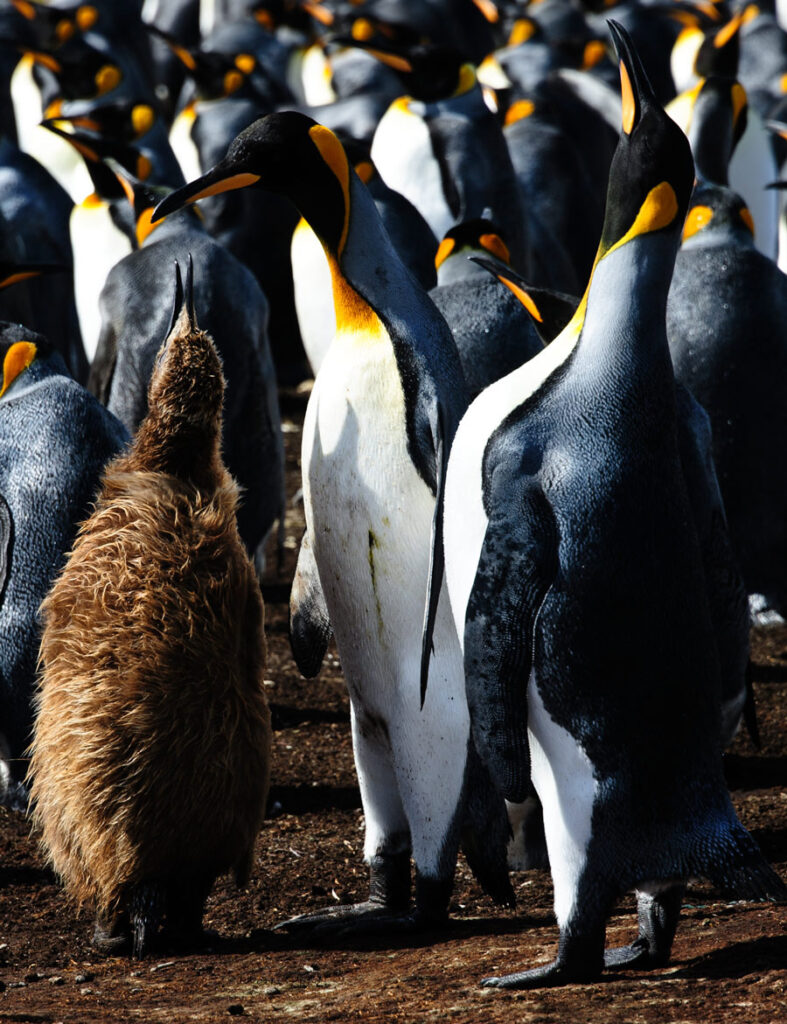
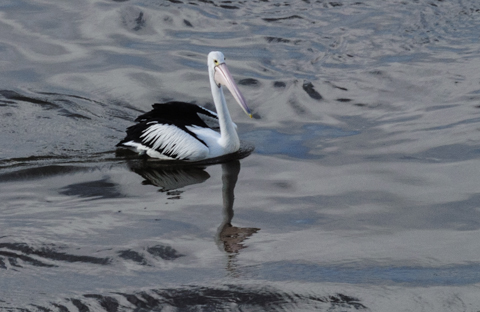
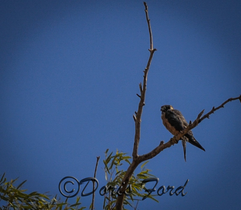
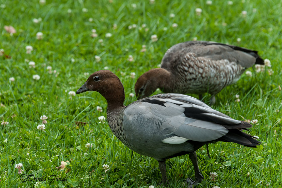
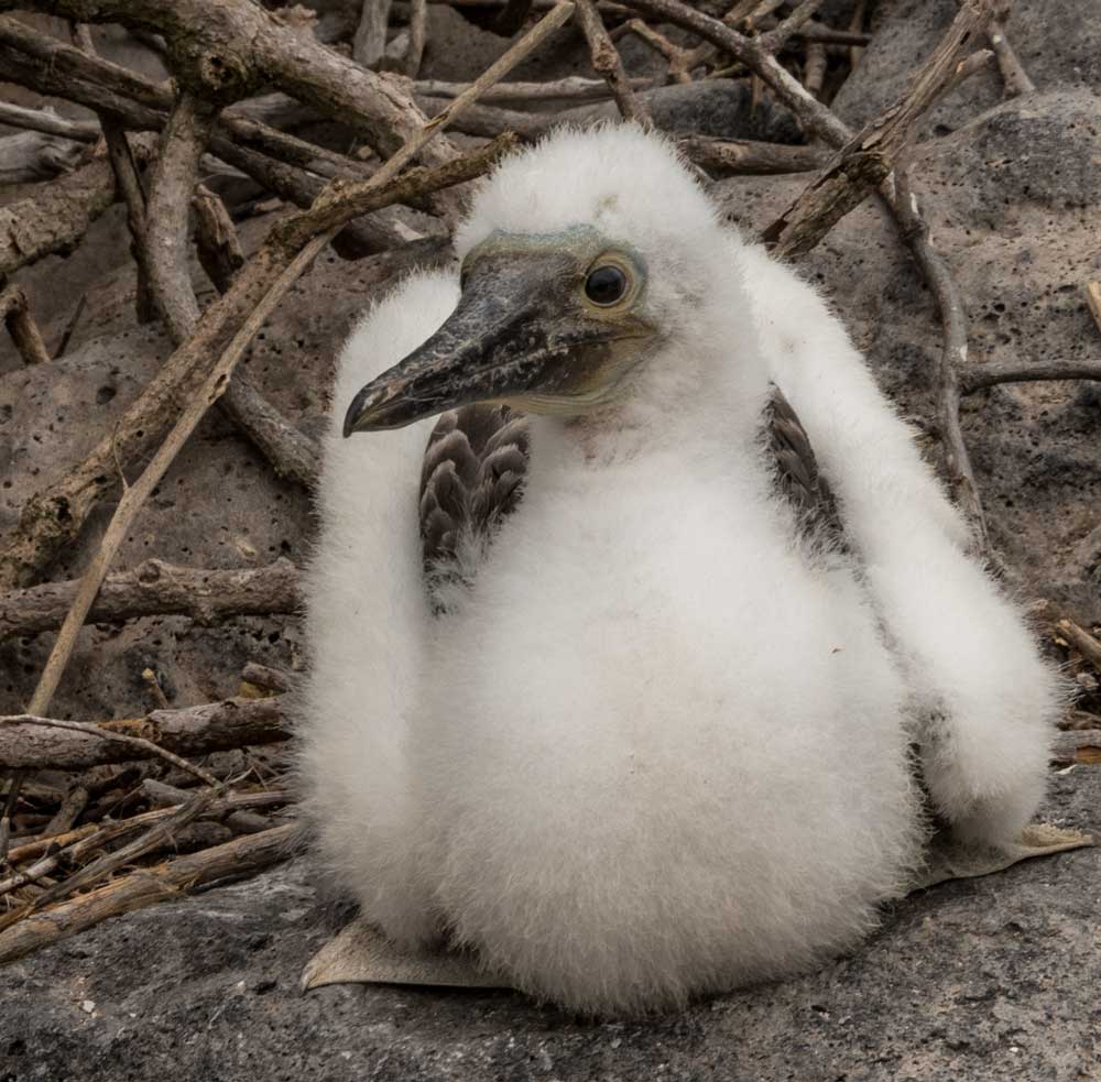
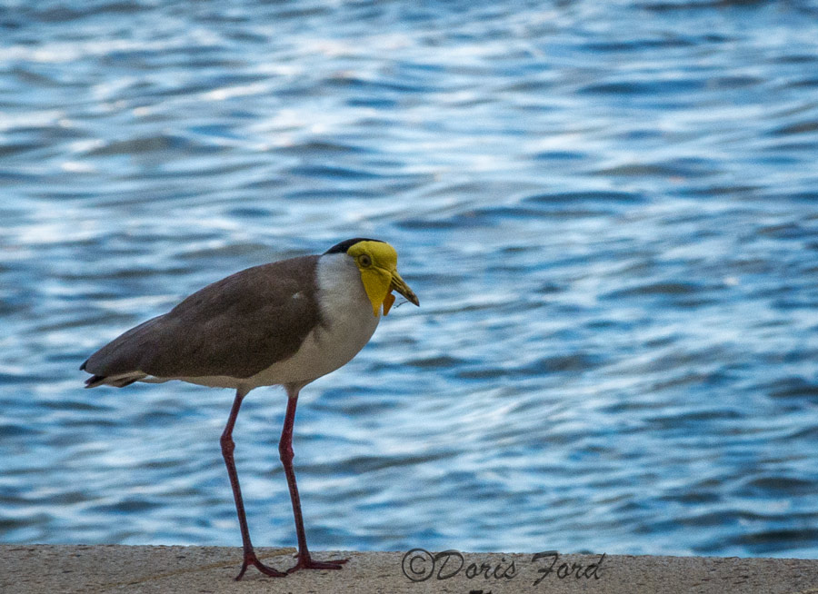
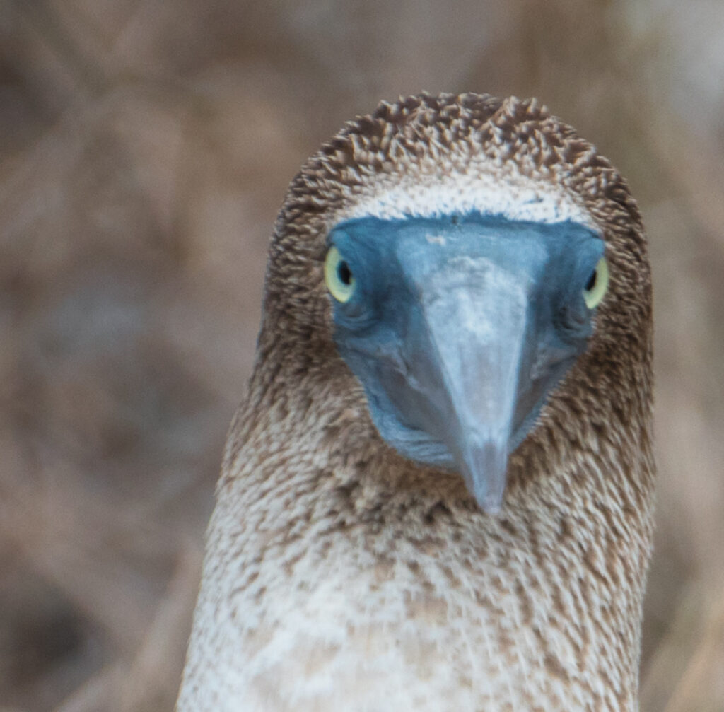
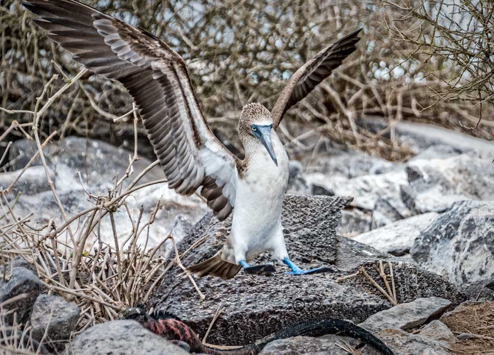


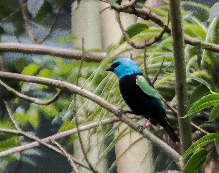

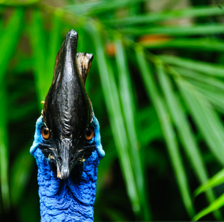

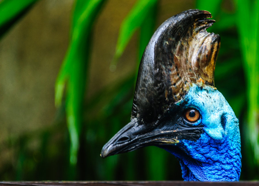
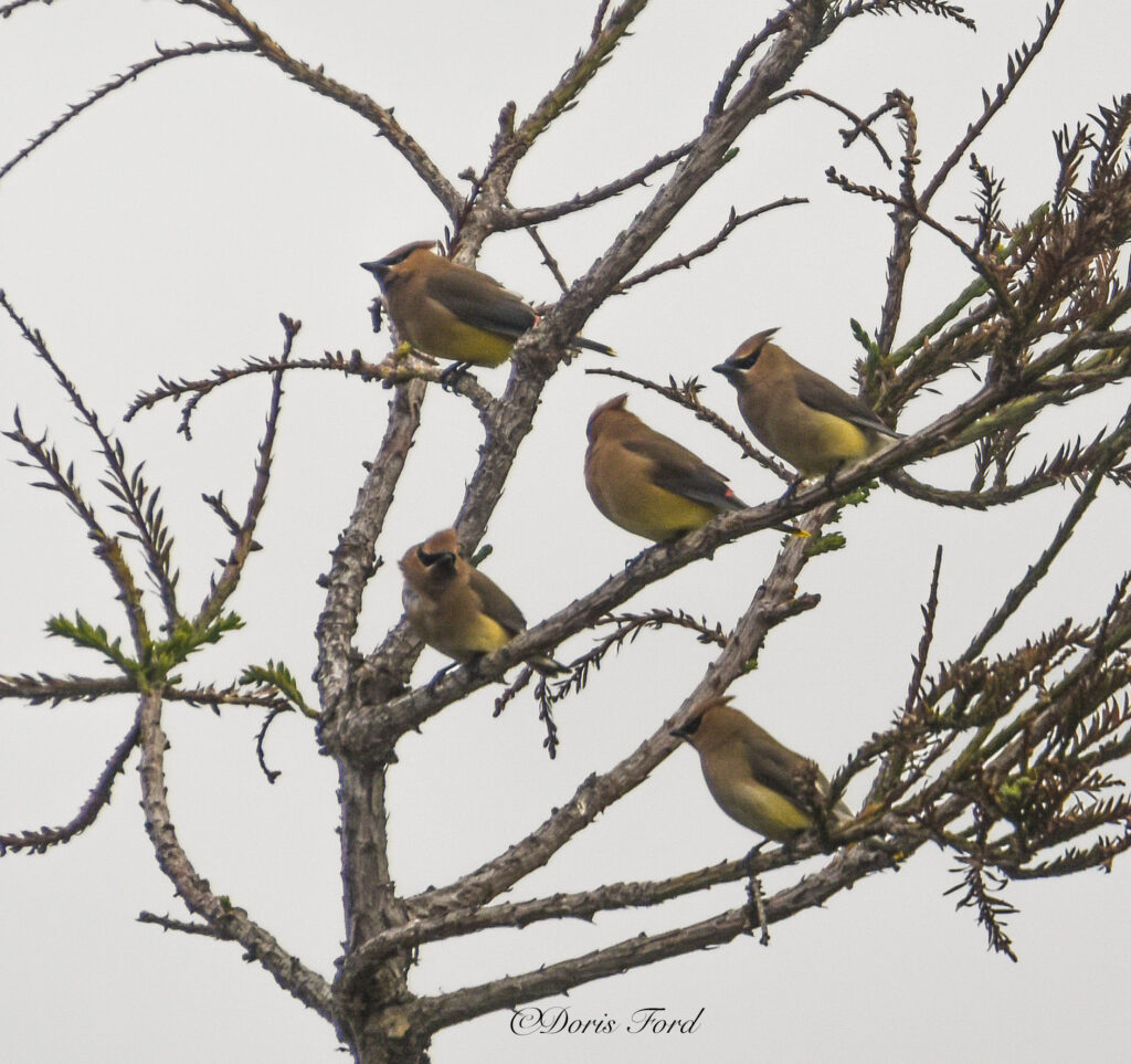
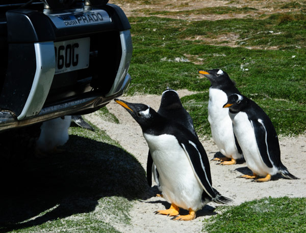
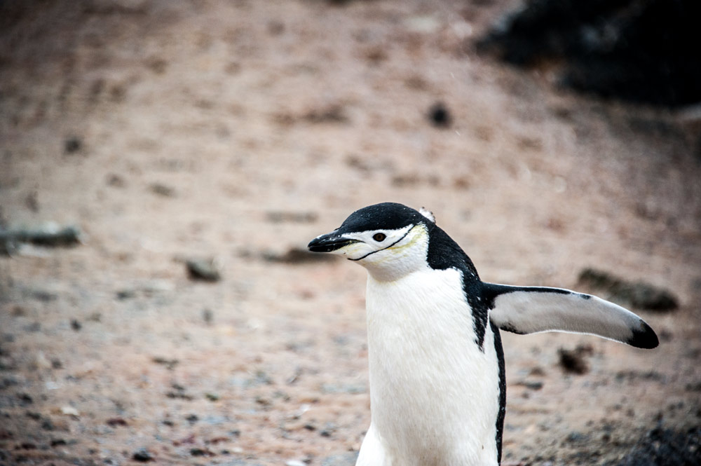
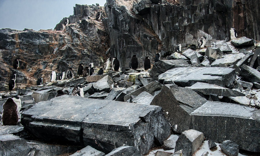
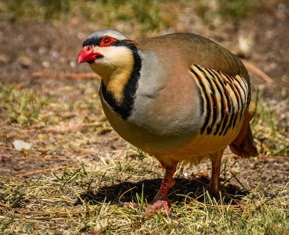
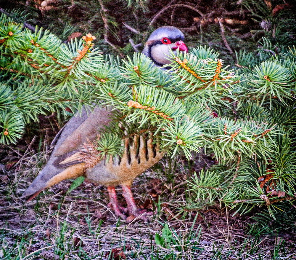


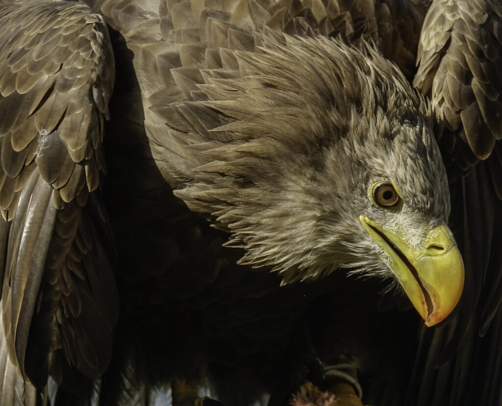
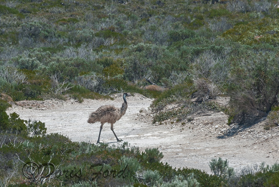
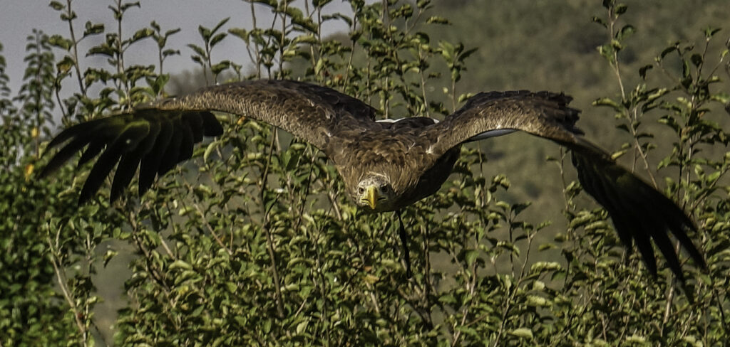
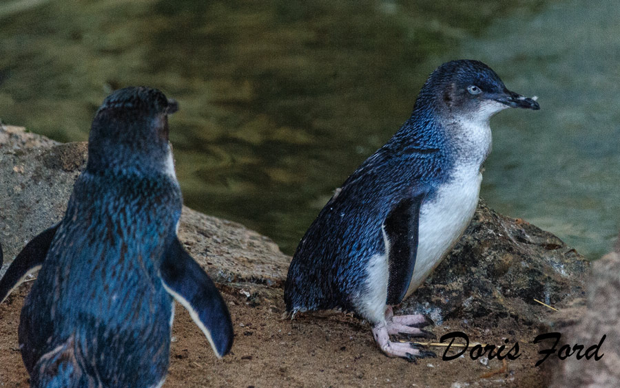
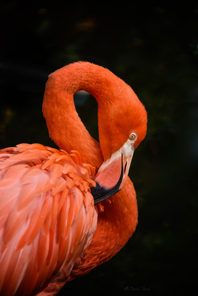

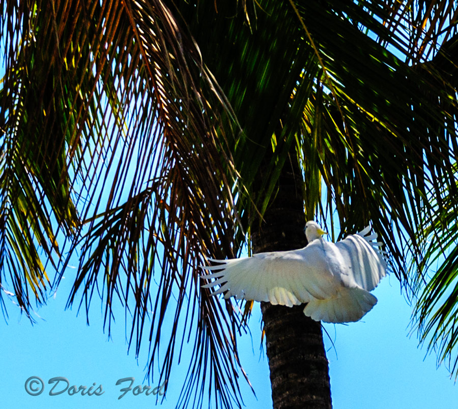
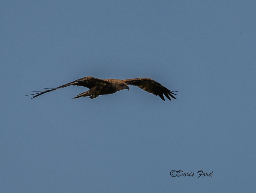
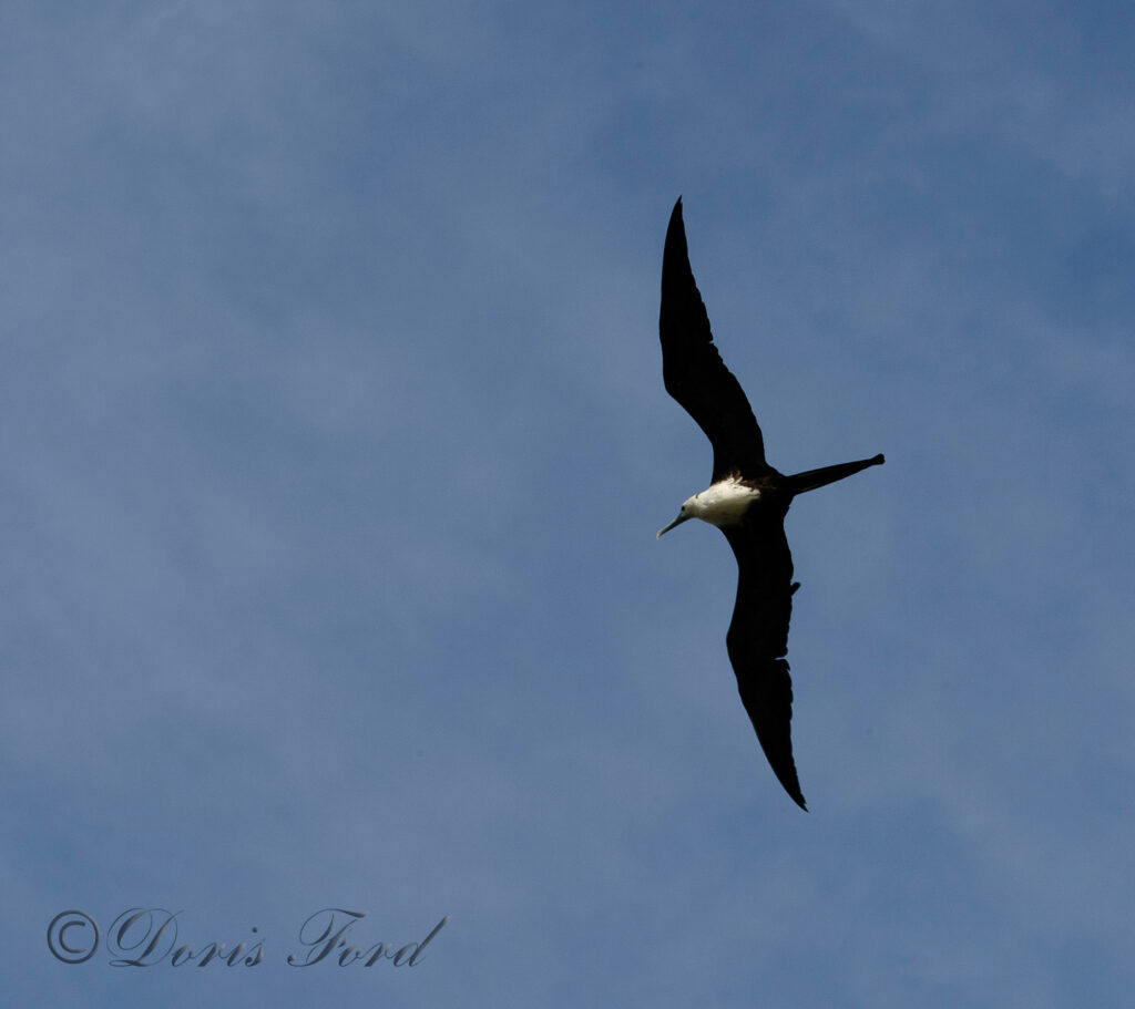
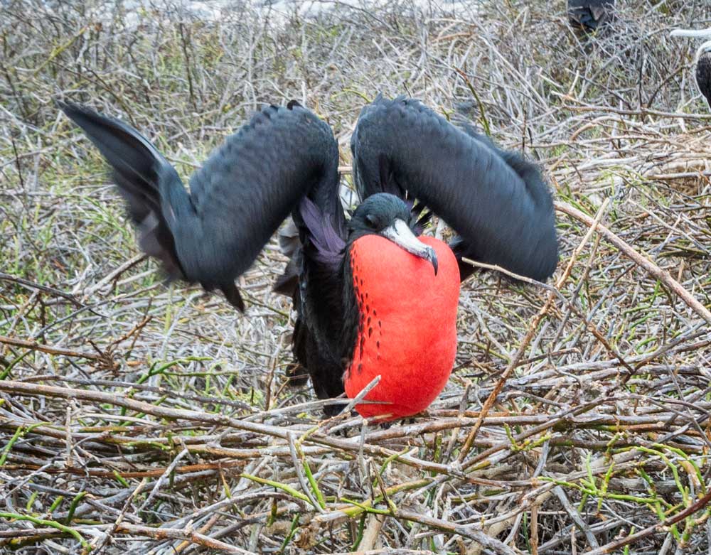
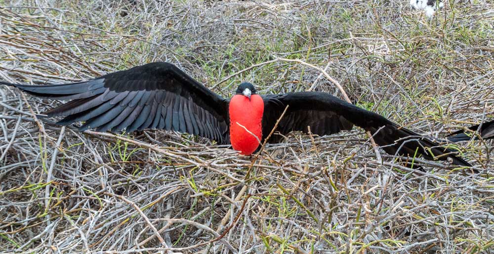
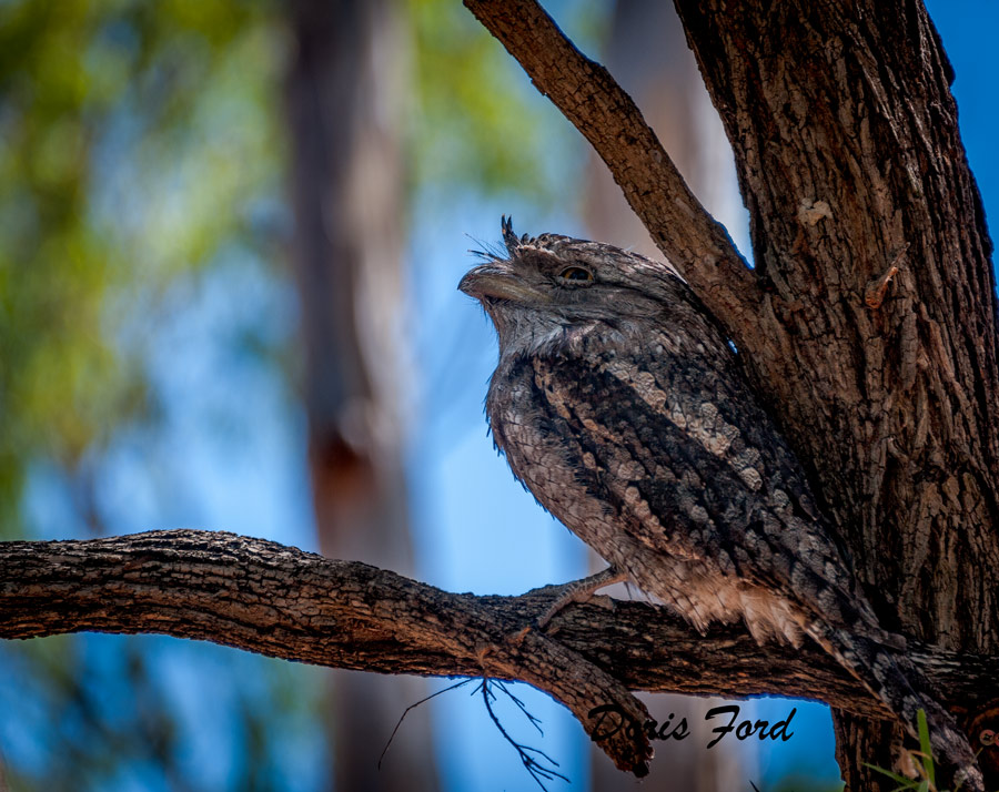
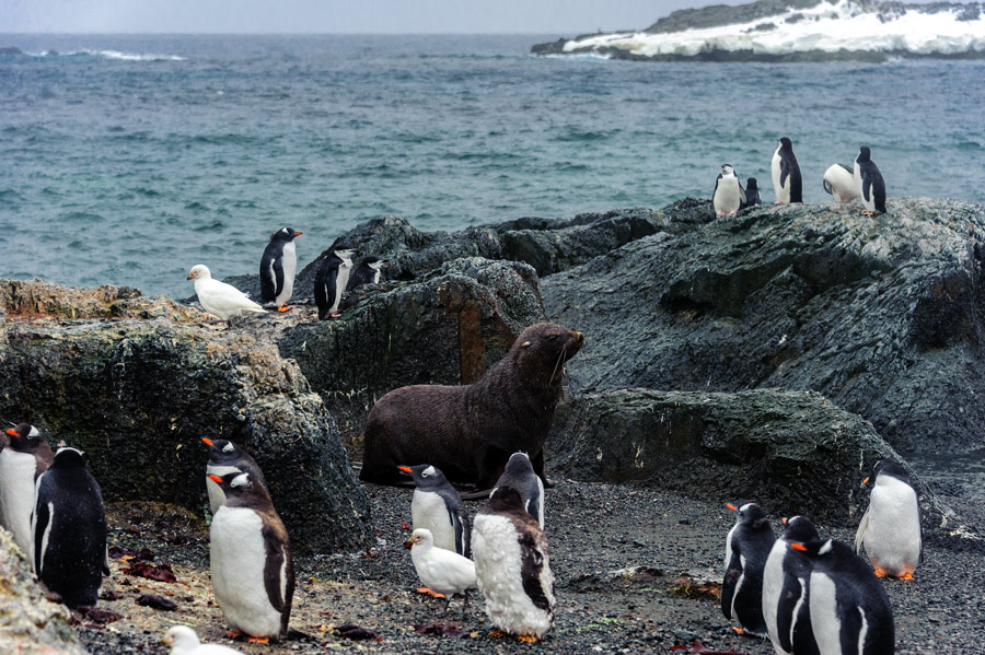

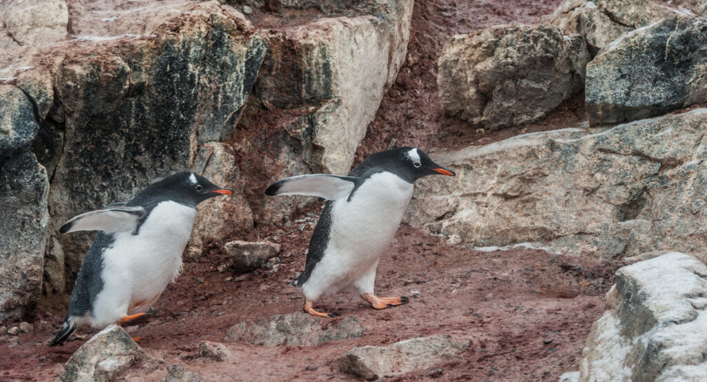

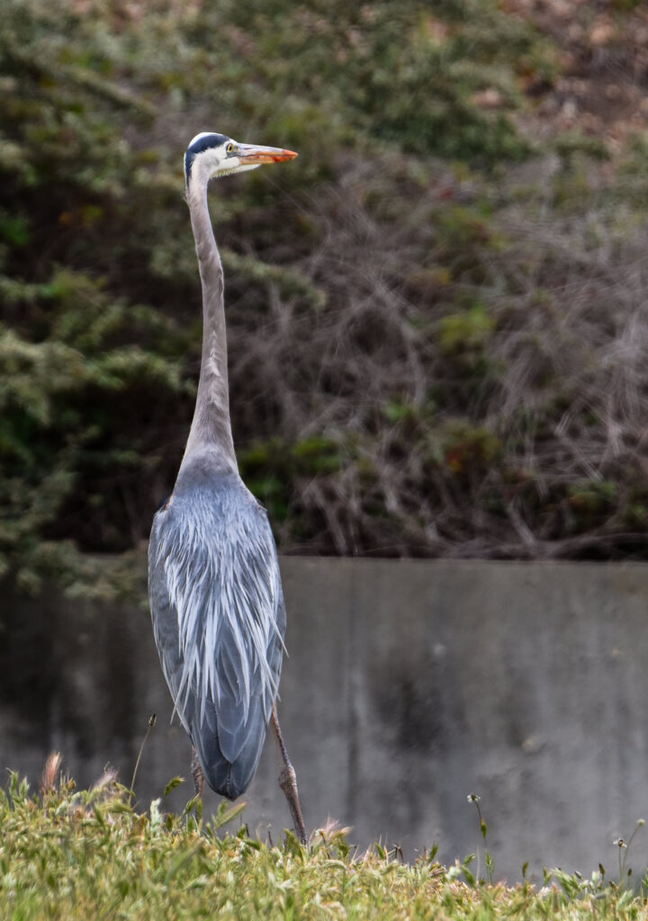
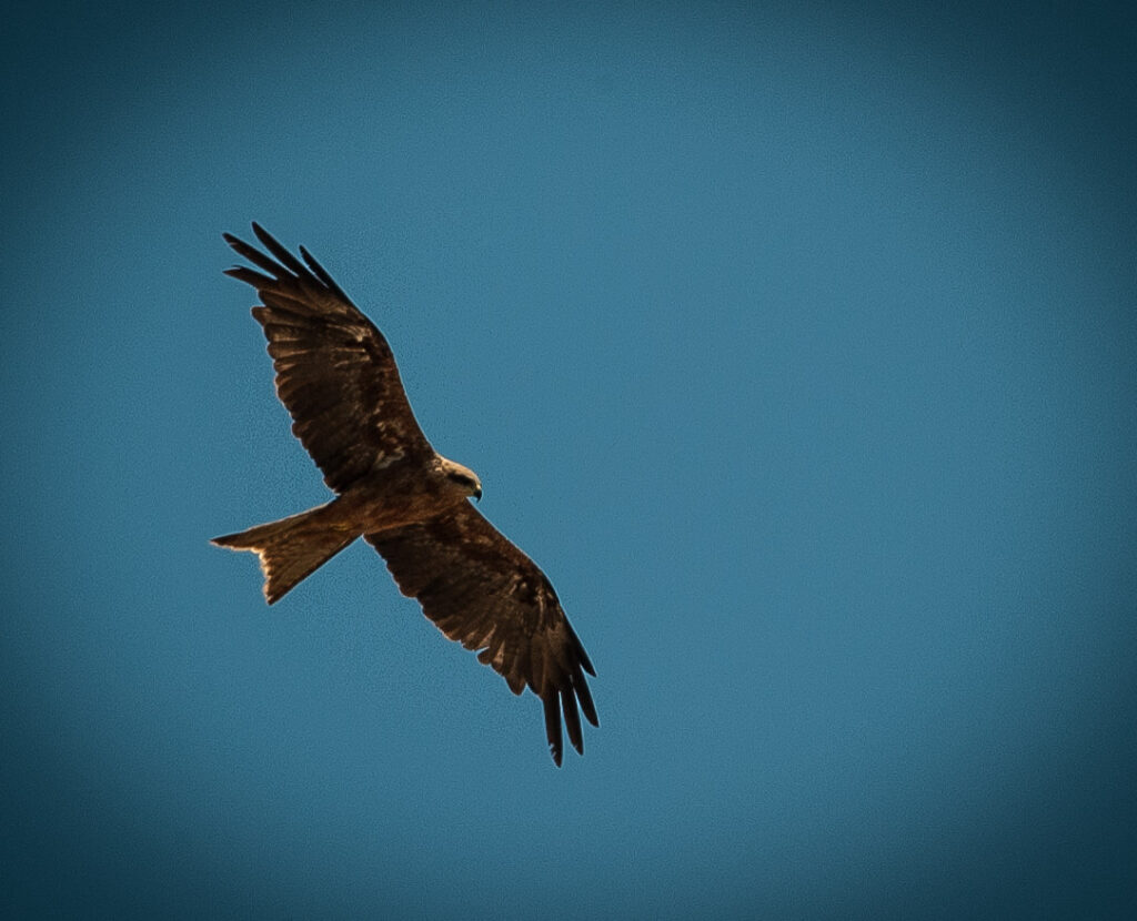
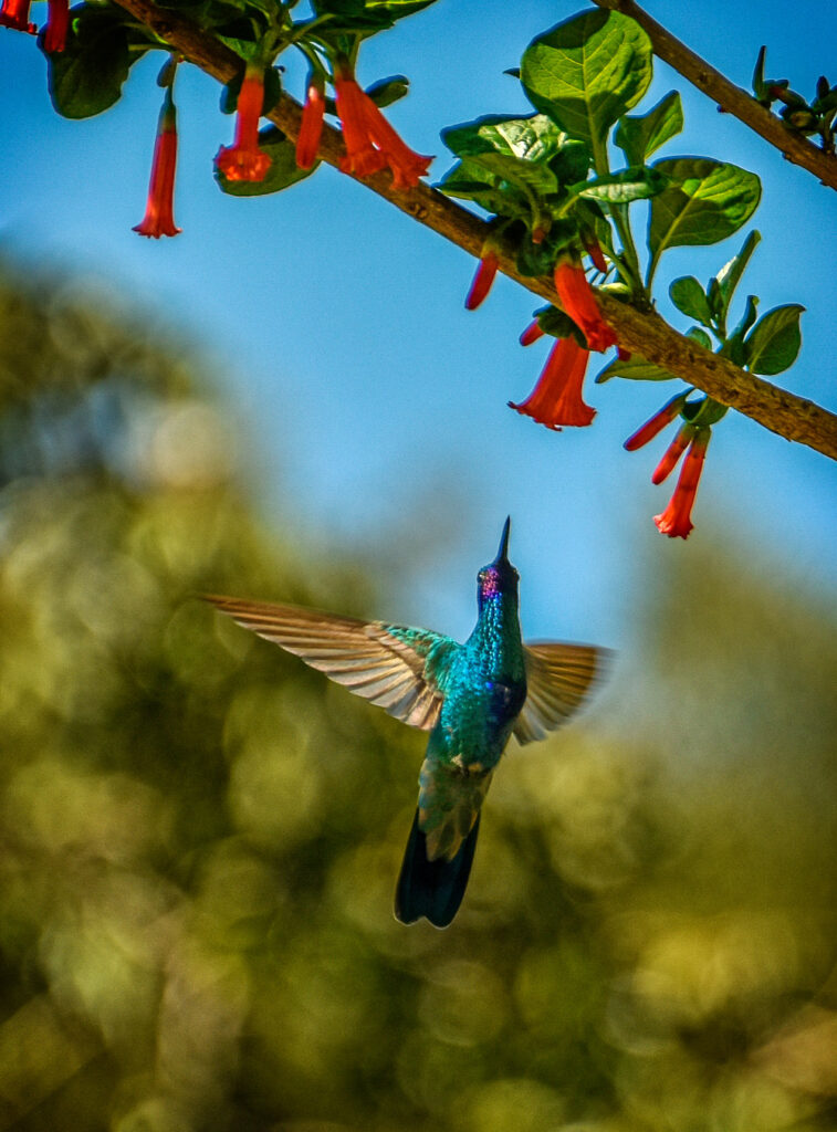
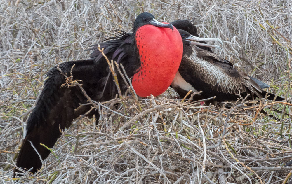
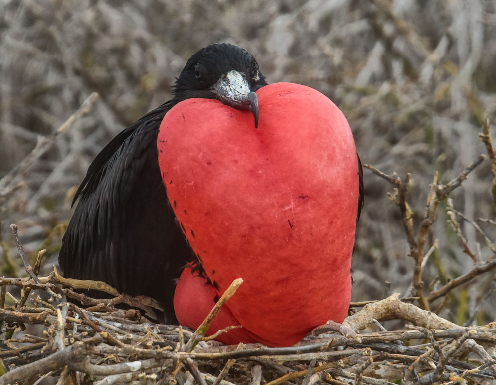

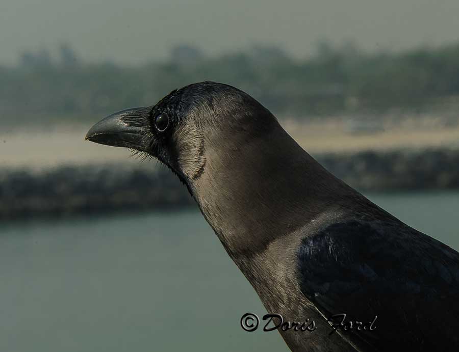
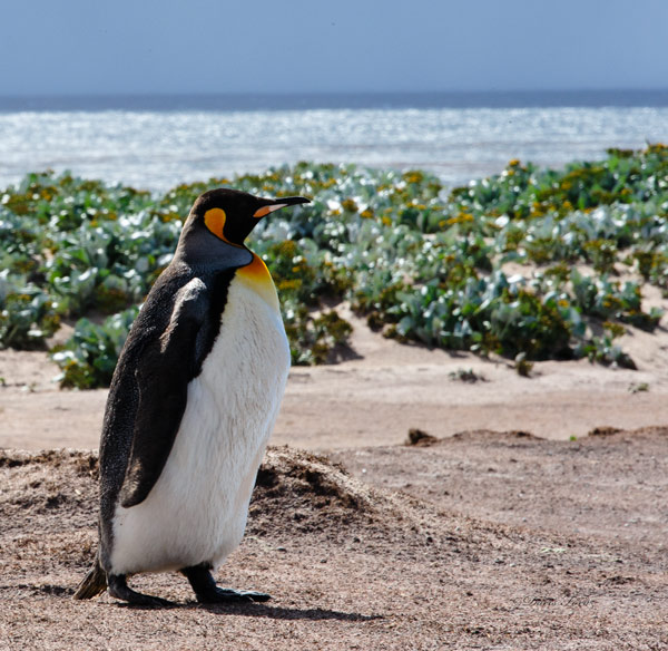

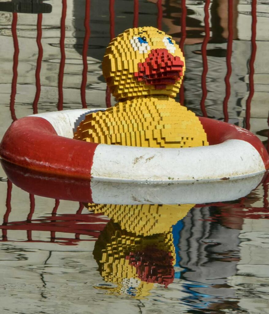
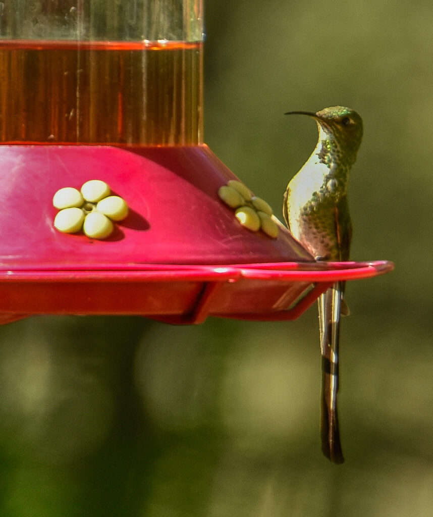
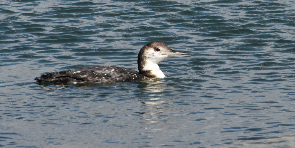

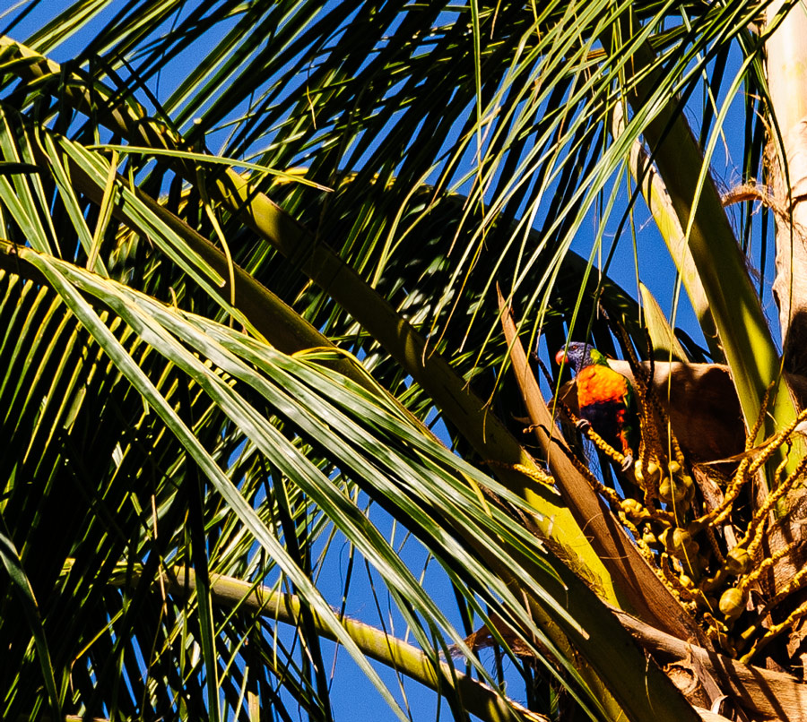
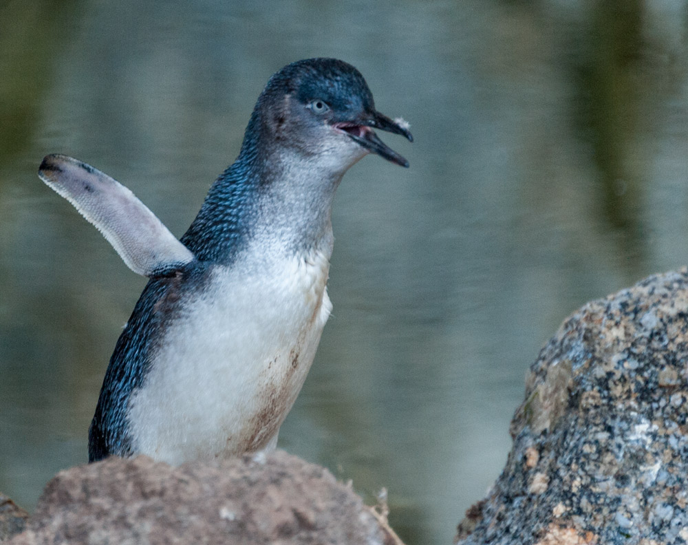
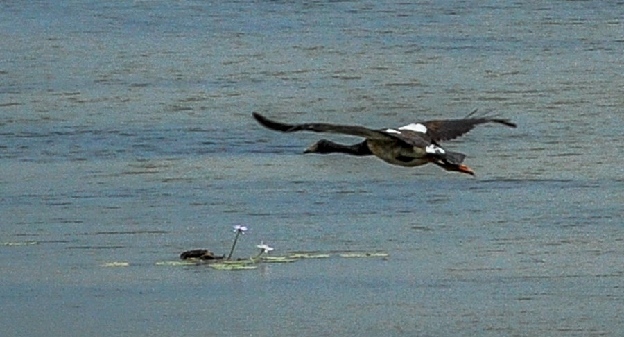
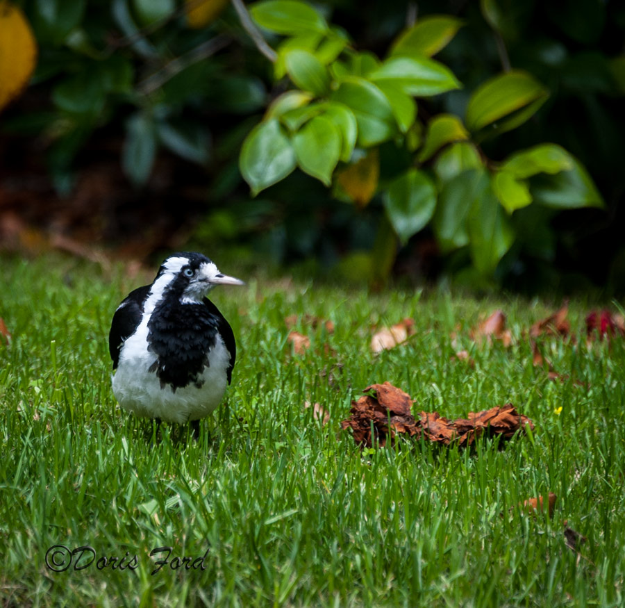

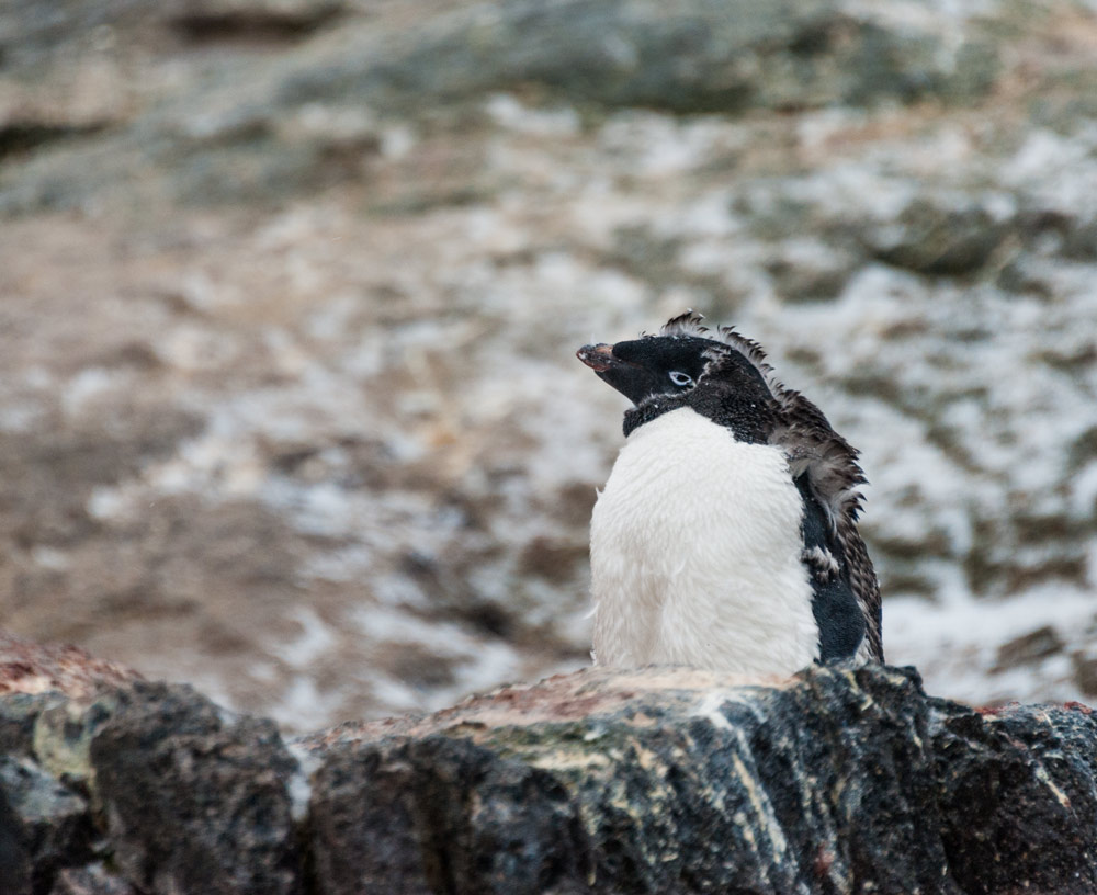
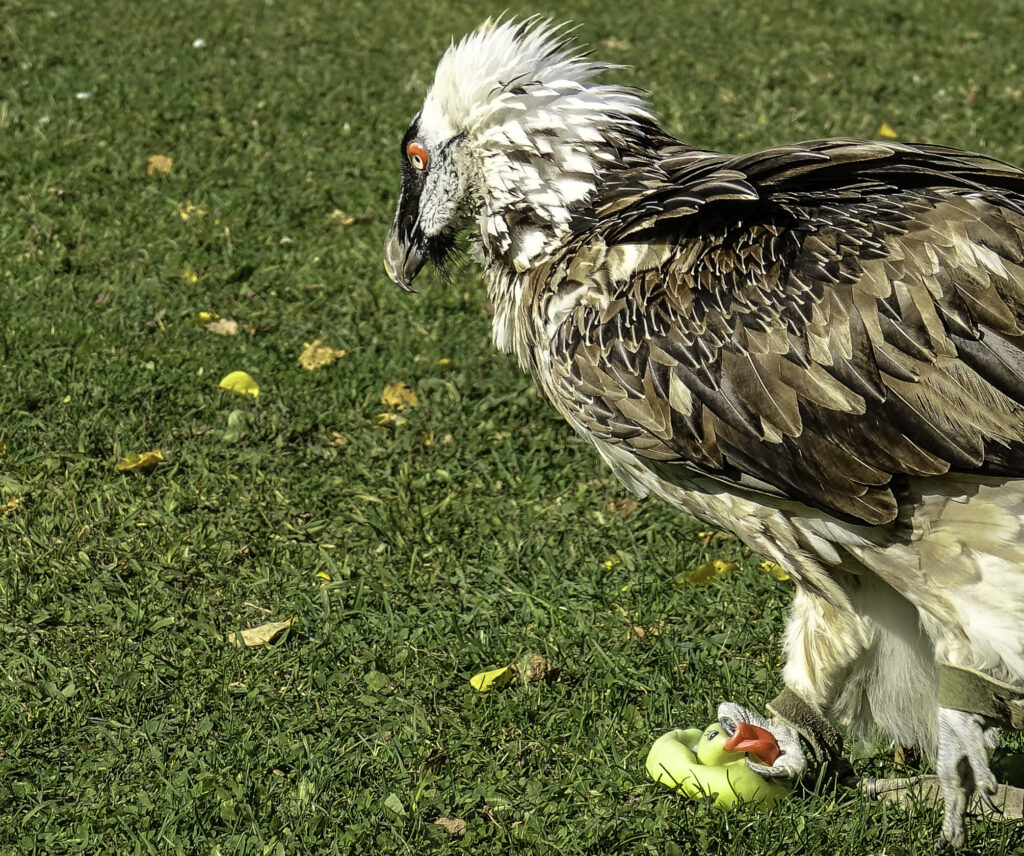
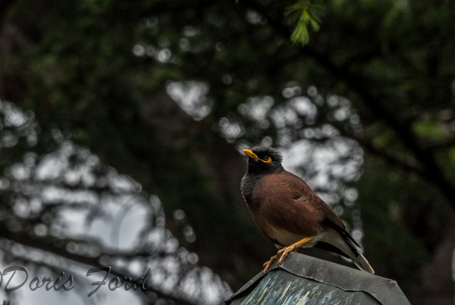
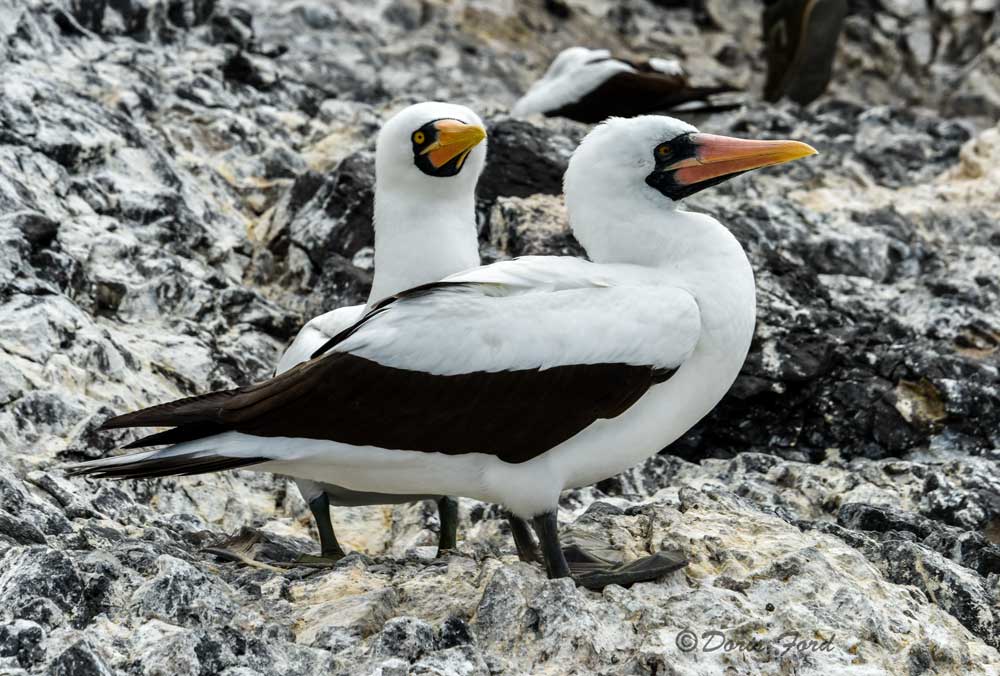


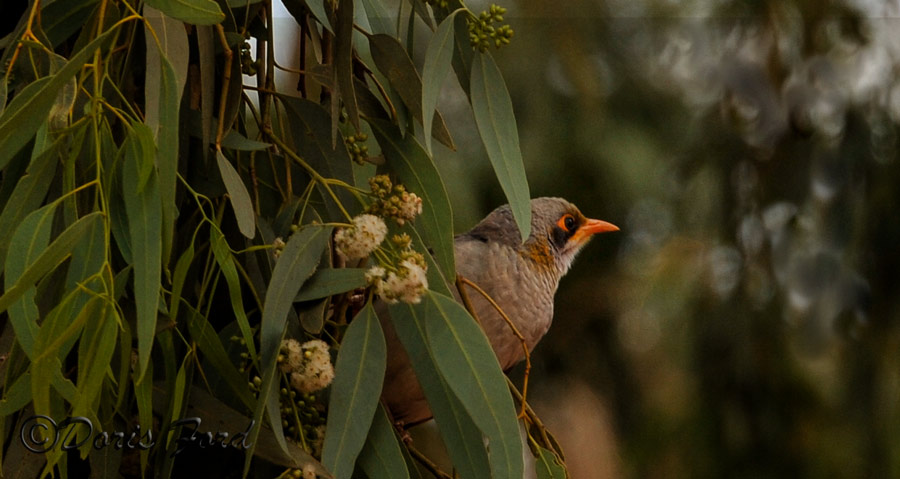
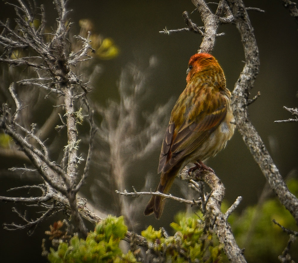
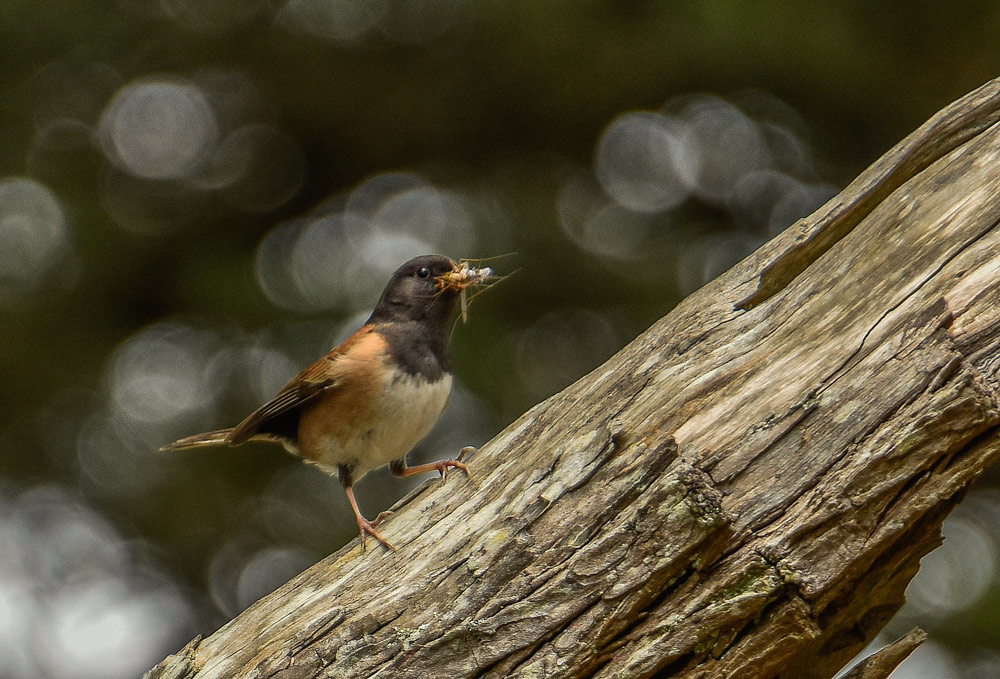
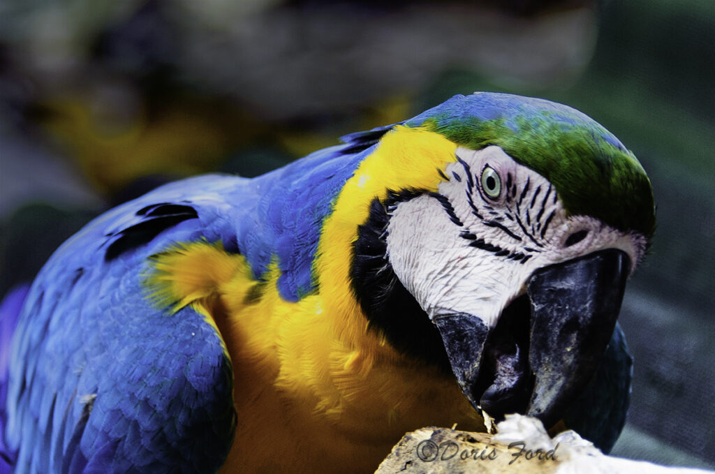
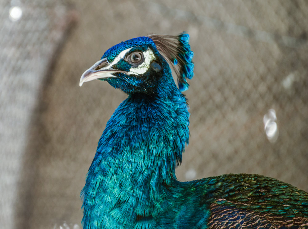
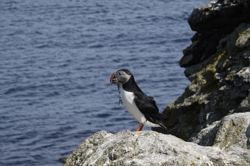
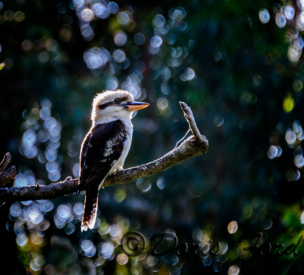
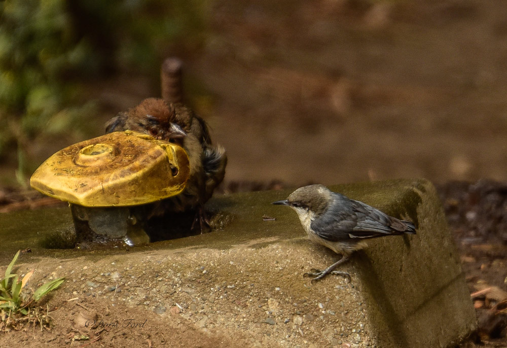
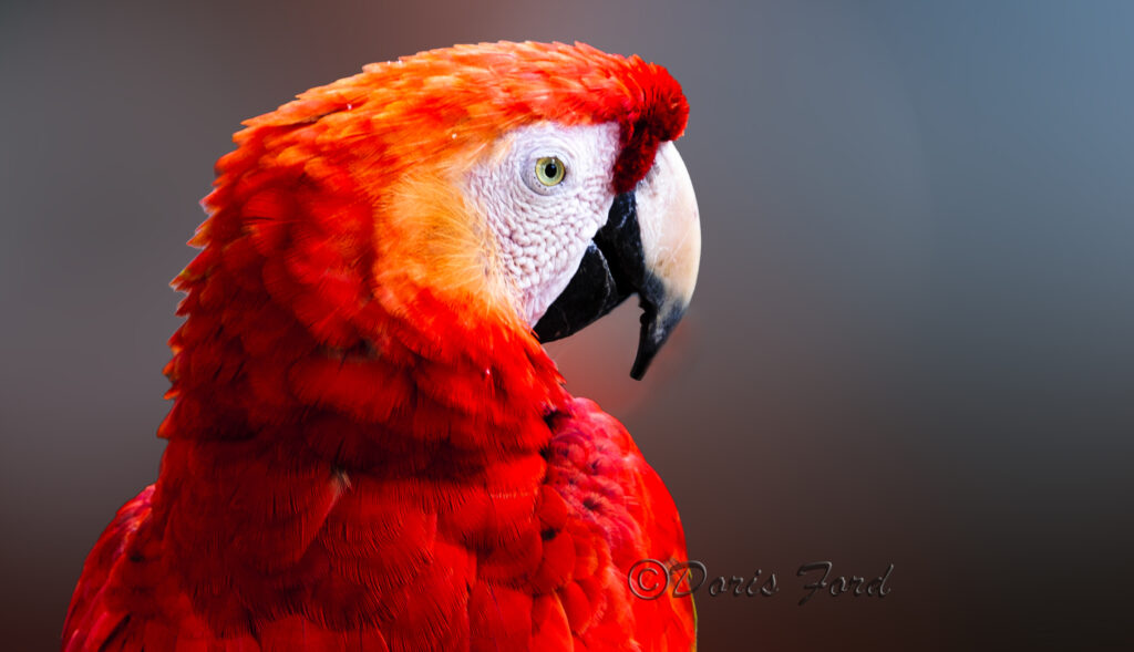
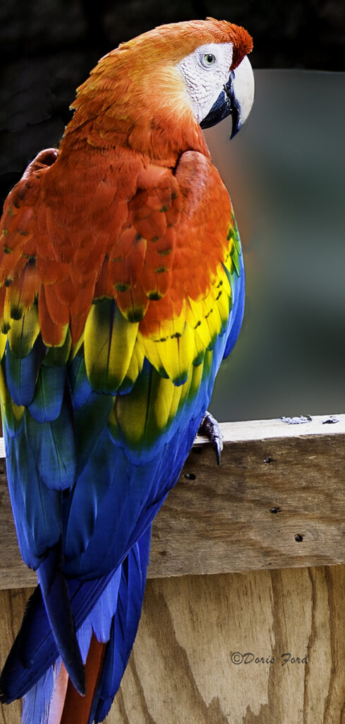
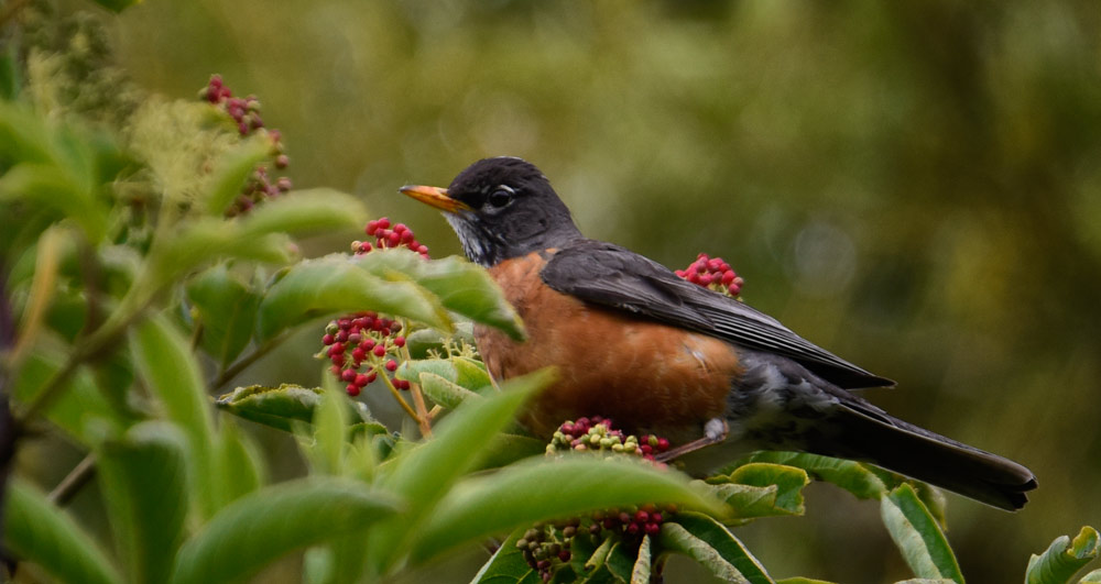
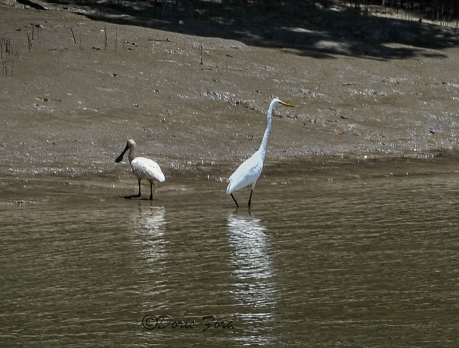
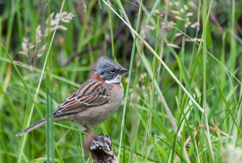
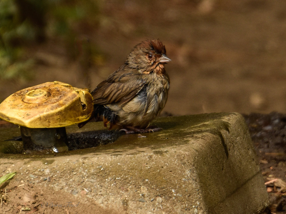
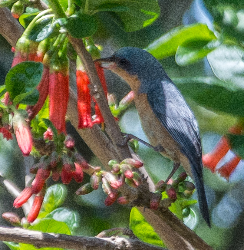
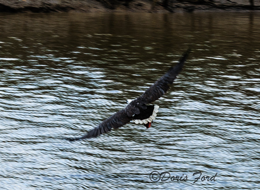

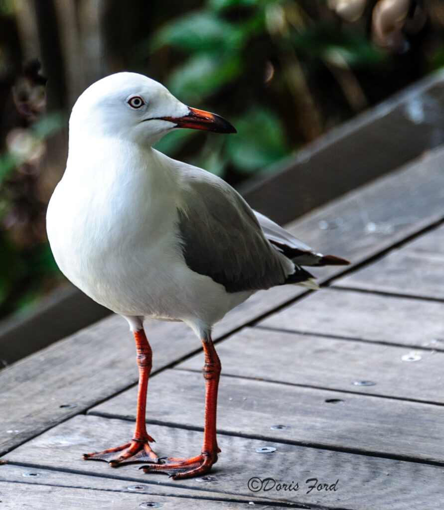

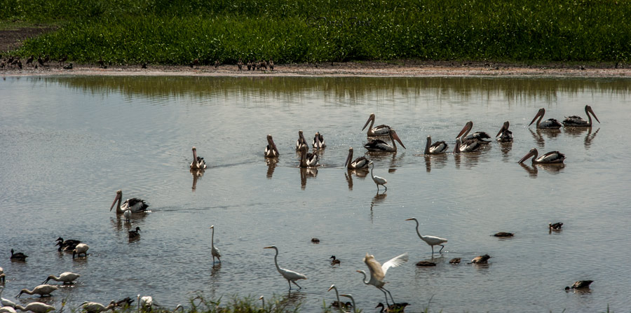
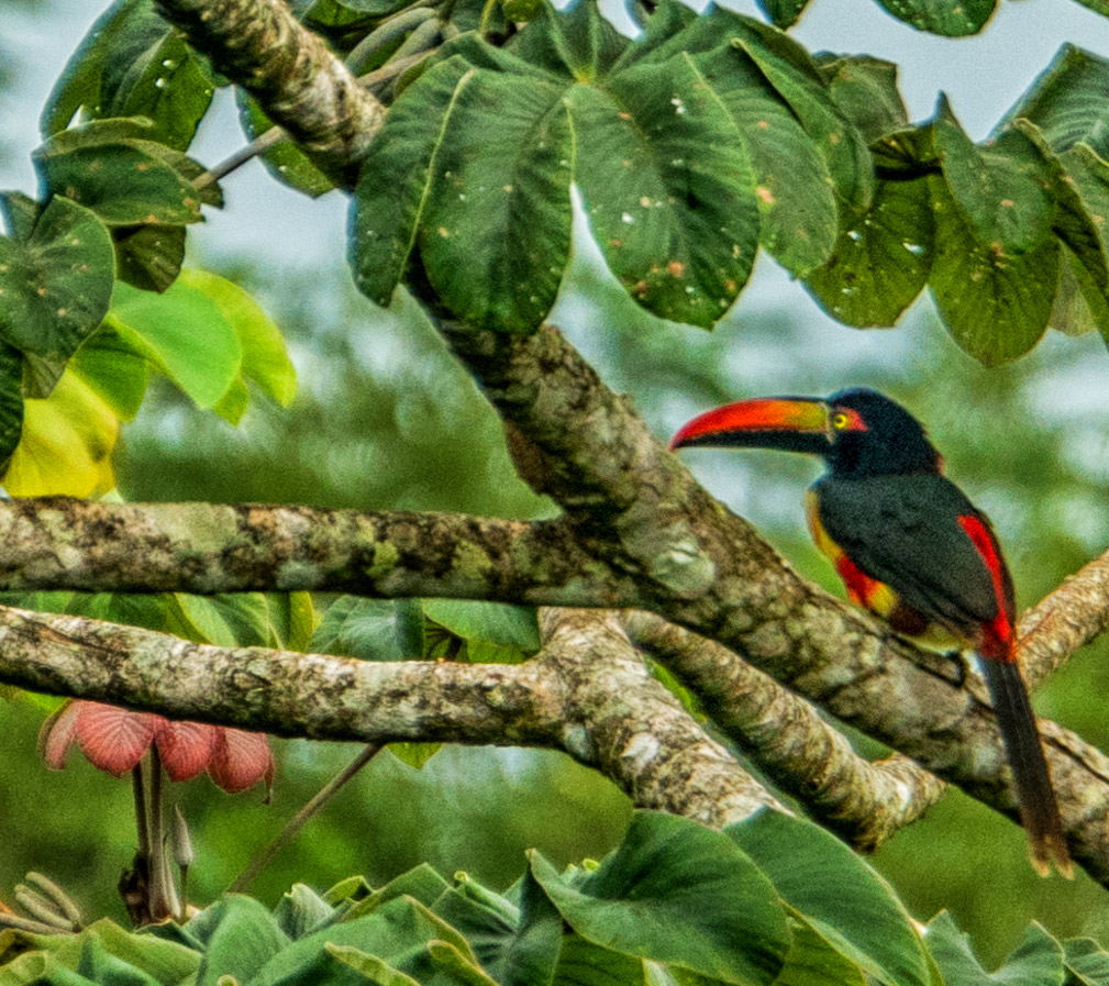
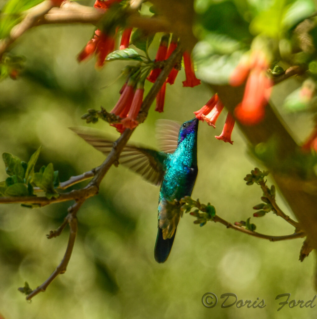

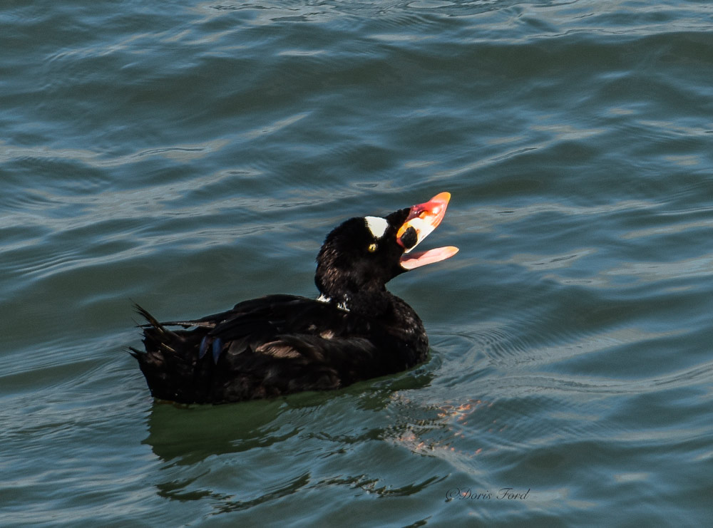
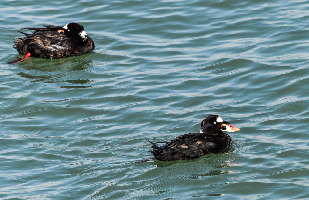

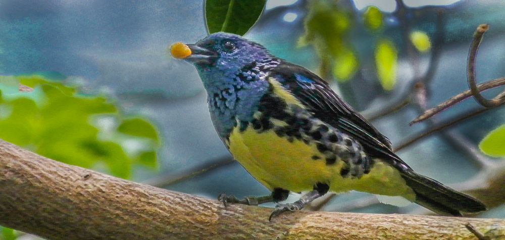
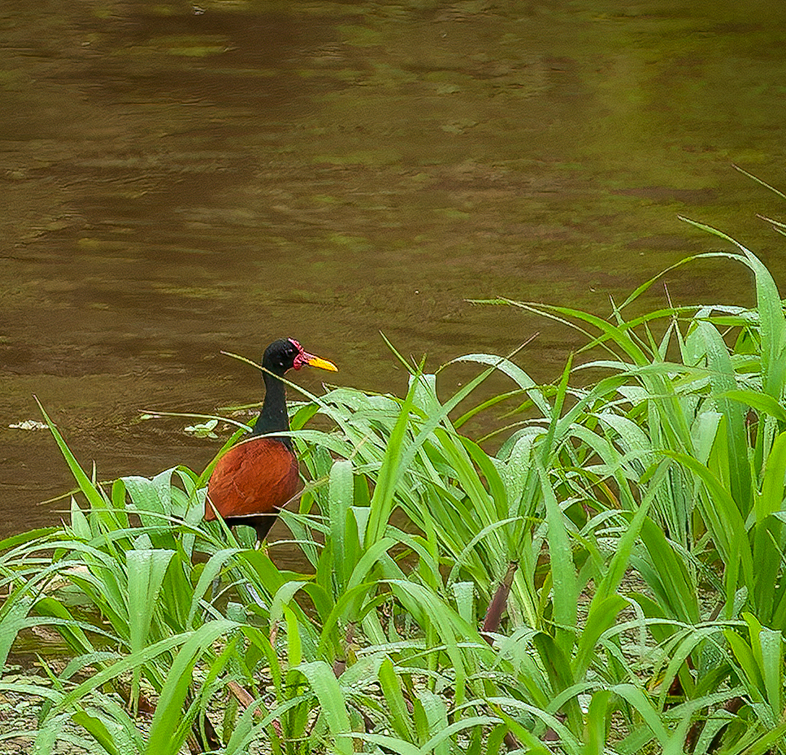

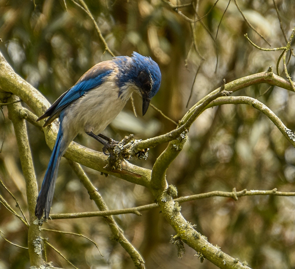

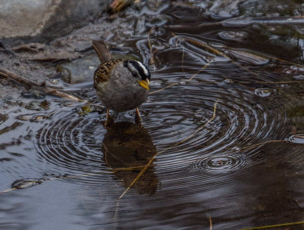
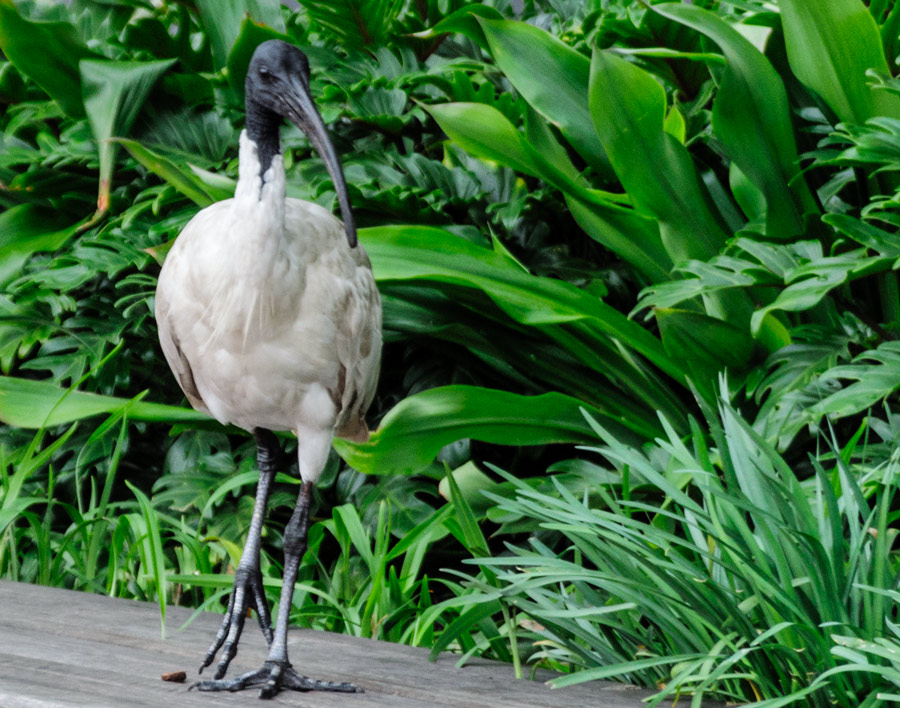


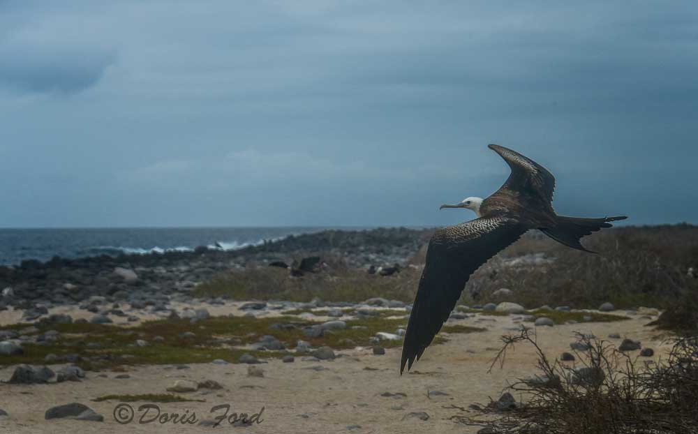
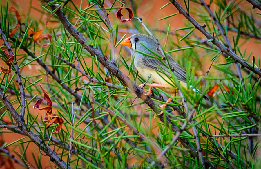
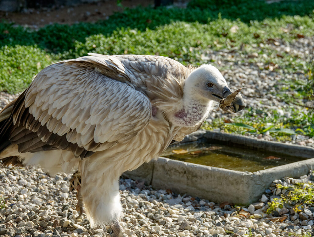
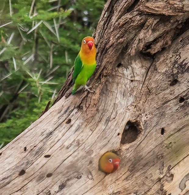
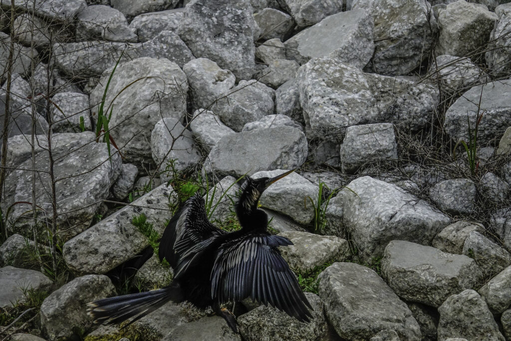
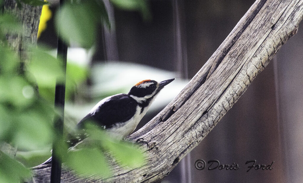
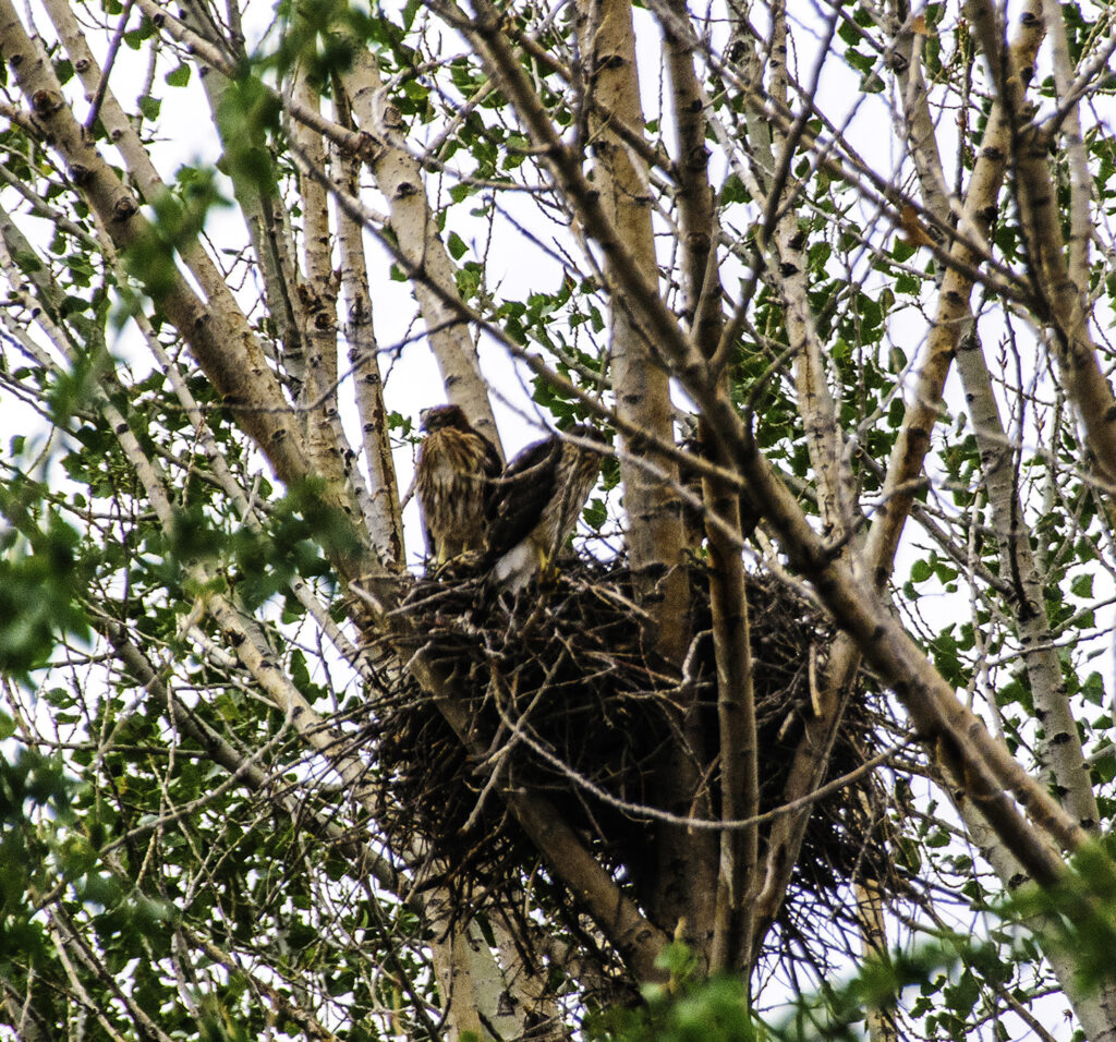
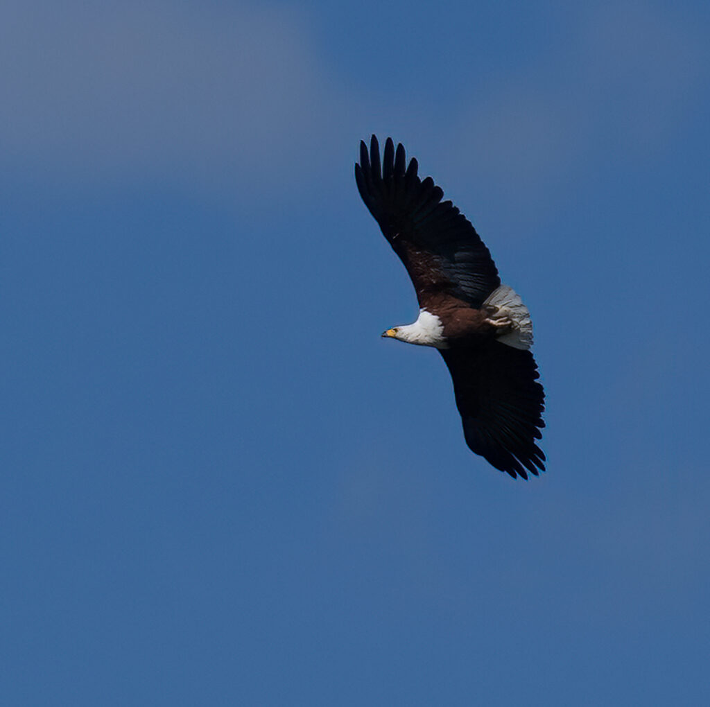
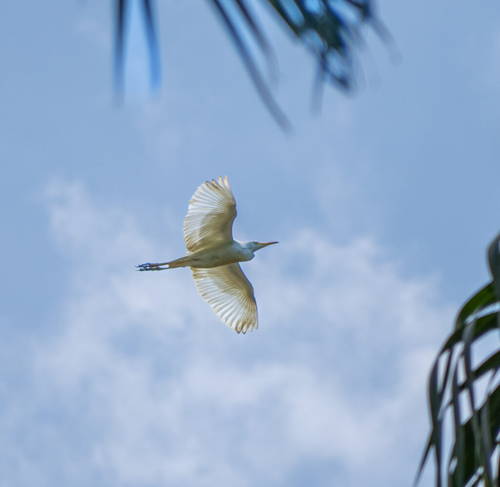
For the month of September I plan to publish a different photo every day on Instagram and invite everyone to comment where the photo was taken. These are some of the photos that I will be featuring! Come along and join the fun and guess with the others! Some of these photos have been published before on; https://FordsFotos.net. Check them out to help you guess! You are invited to comment on this site or email me at Doris@FordsFotos.net The first is a freebie- Have fun!
Did you have fun identifying where the photos were taken?
https://www.nps.gov › yell, https://en.wikipedia.org › wiki,
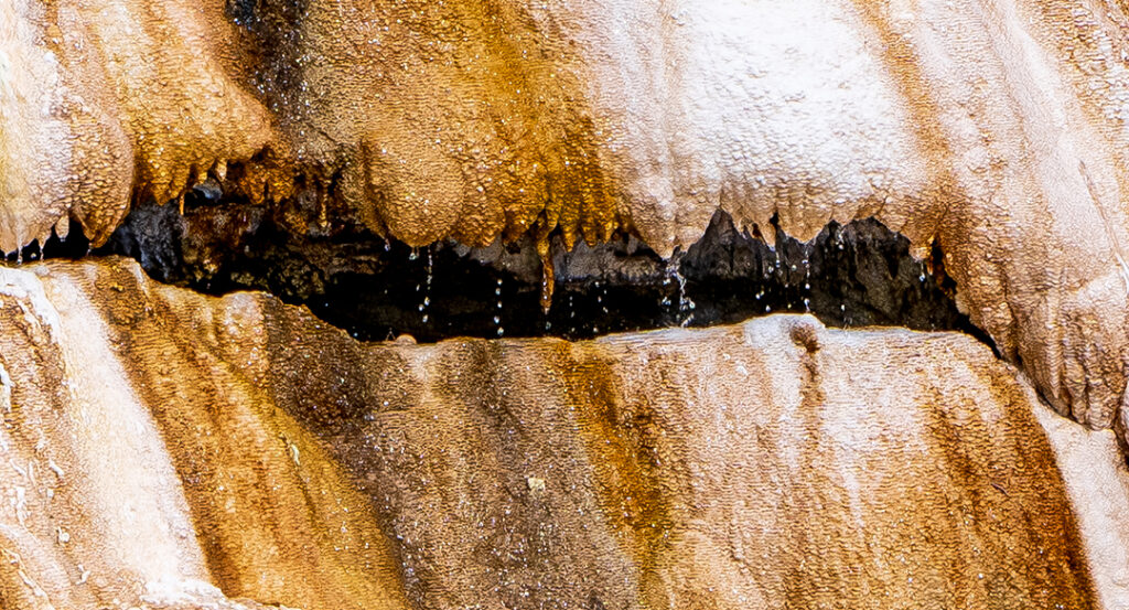
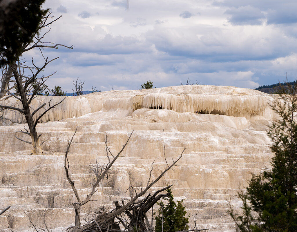
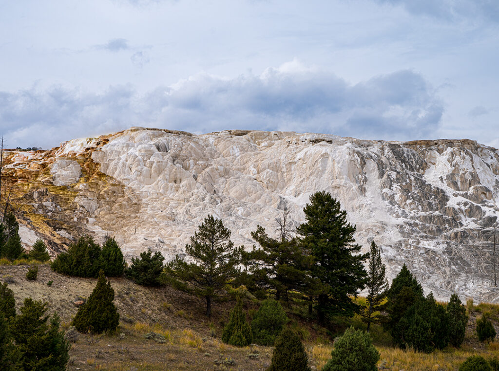
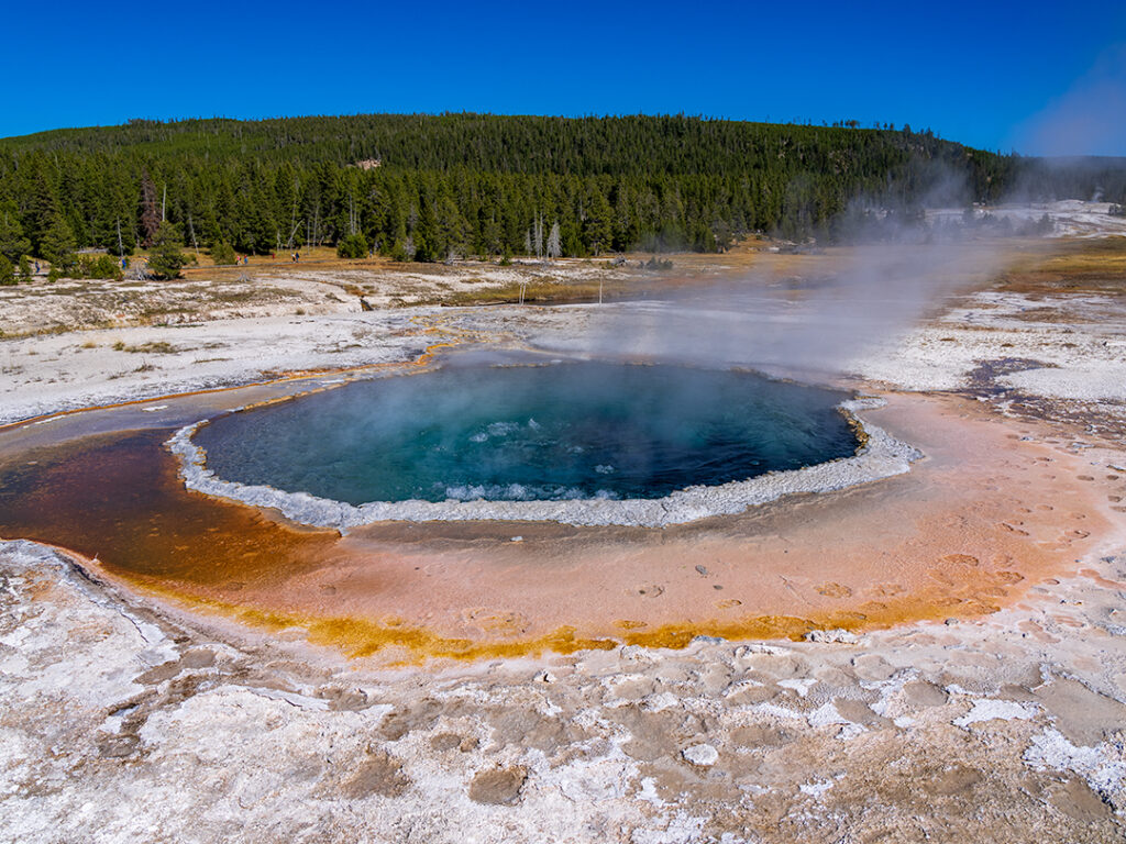
The Mammoth Springs Travertine area of Yellowstone is in the Northern area of the Park. I don’t know if this area is open yet since the floods closed this area of Yellowstone. As you can see the springs look a bit different than other areas of the Park. Just a few photos showing active as well as springs not active at this time. Note the beautiful colors from the minerals. calcium, magnesium, bicarbonate and sulfate. The chemical properties of this area is different then the alkaline-chloride waters of Old Faithful.
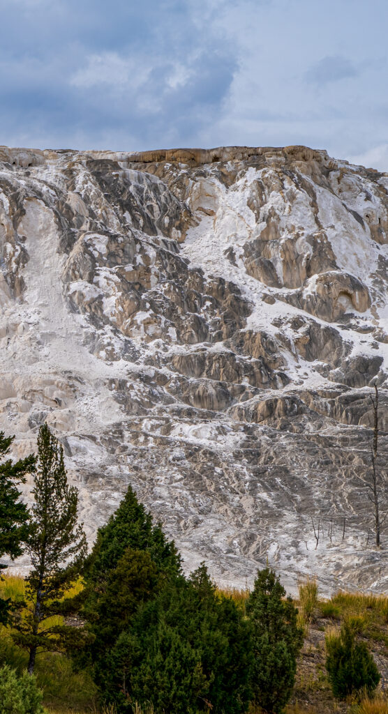
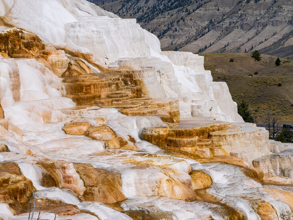
An active area of the Springs as the hot water trickles down the terraces forming puddles in some areas and beautiful colors from the minerals.
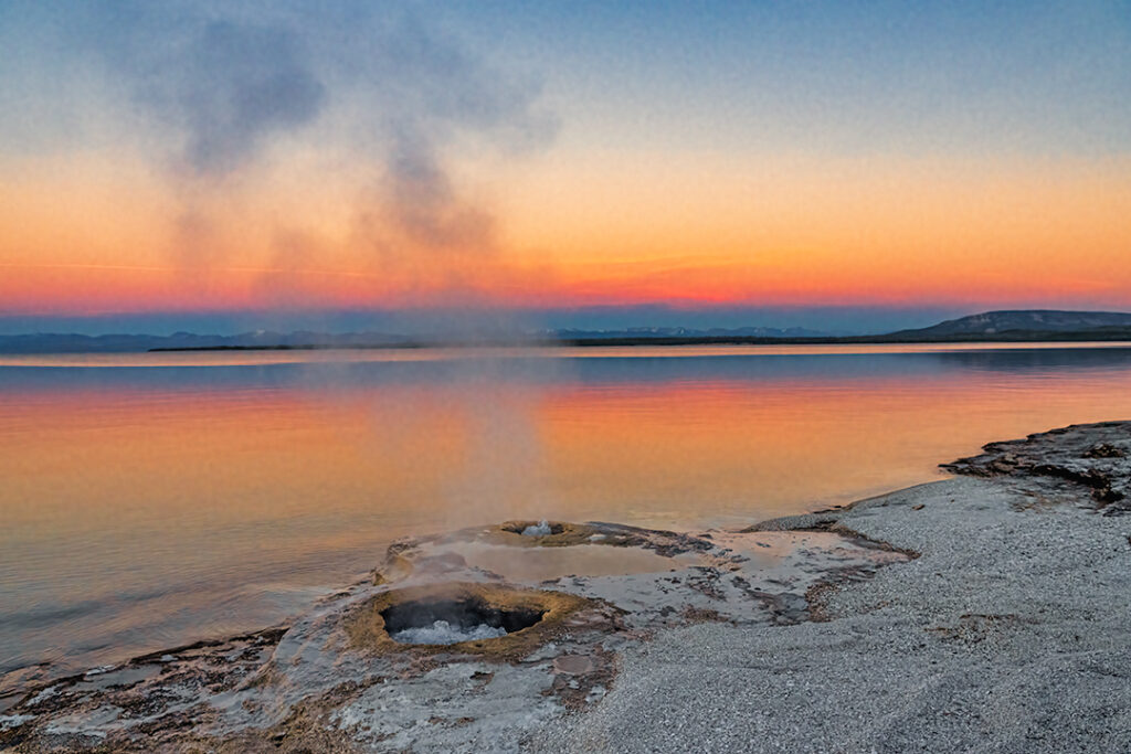
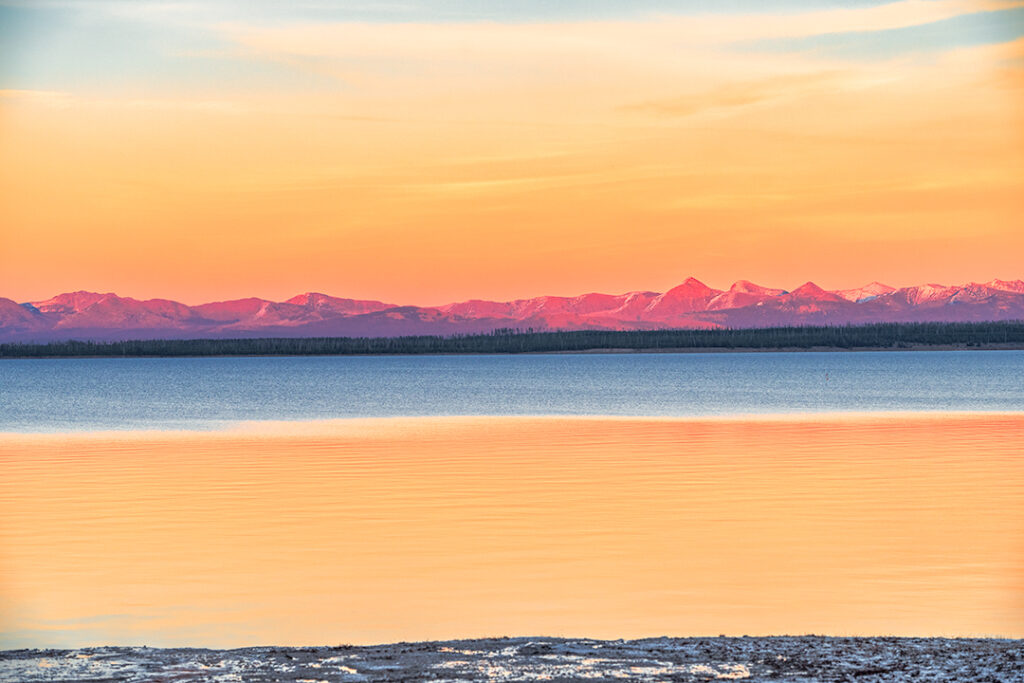
We visited Yellowstone National Park West Thumb Geyser Basin at Sunset, and watched in Awe as the colors of the sky and Yellowstone Lake changed. This small hot spring is called the Fishing Cone. The story goes that a fisherman was fishing nearby and his freshly caught fish got off the hook and fell into the hot spring. Yes he was subsequently boiled! Thus the label “Hook and Cook”! The fisherman and many other visitors have since performed this feat. A National magazine reported in 1903 that no visit to the park was complete without this experience! Be careful if you decide to cook your fish this way,the geyser has occasionally erupted as high as 40 feet and some fisherman have been burned. |
| The two photos below are of the Abyss Spring at West Thumb Basin The bottom two feature scenes across the Lake to the mountains, with and without snow. |
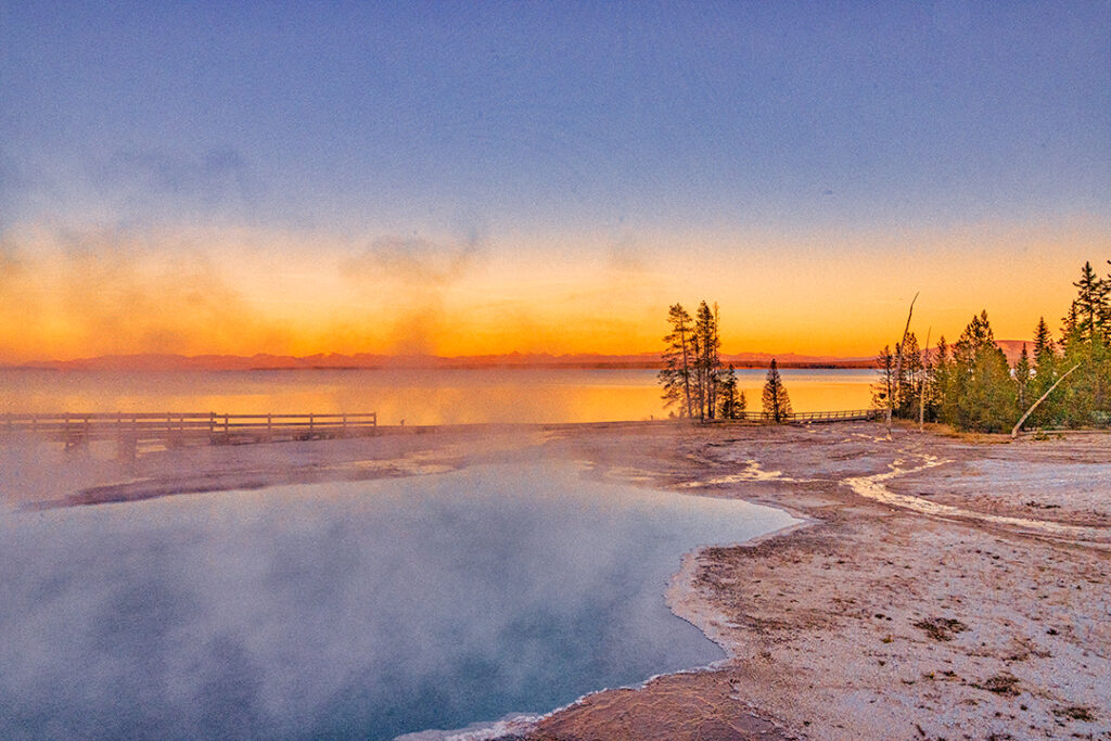
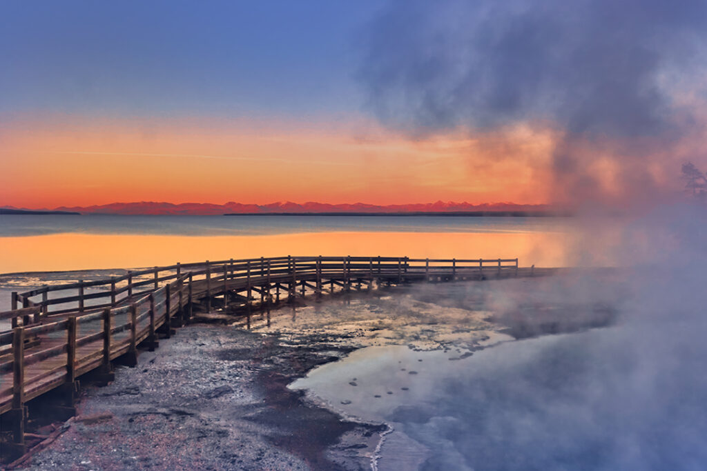
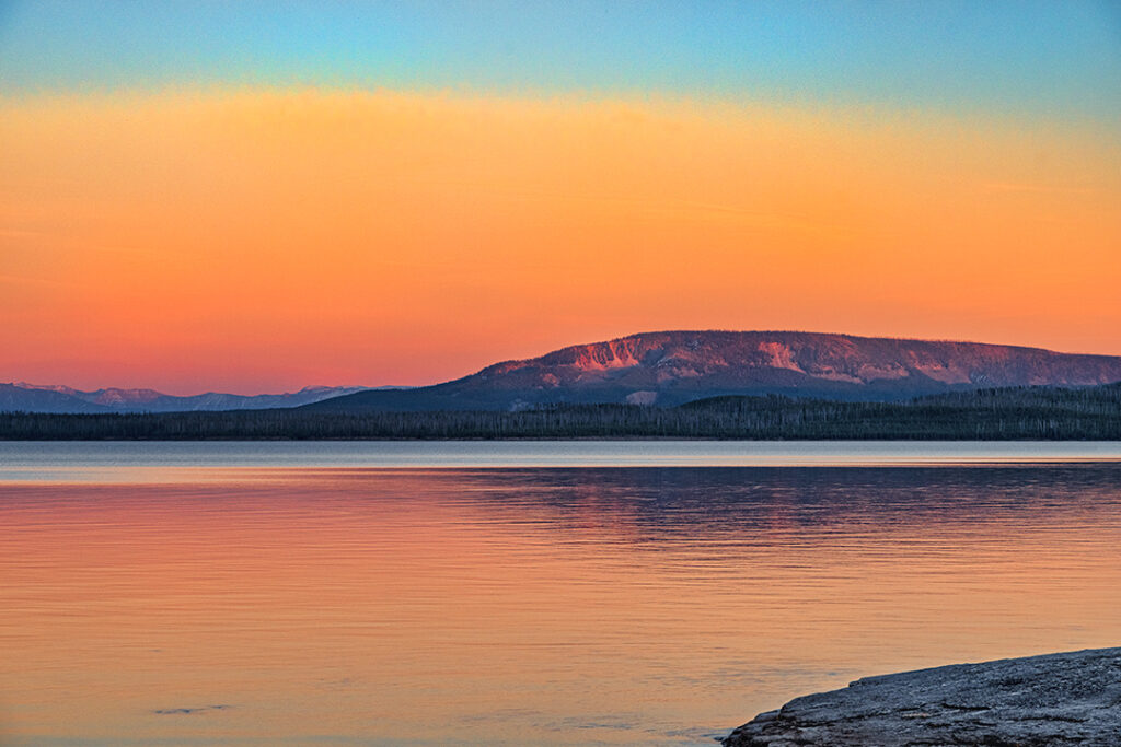
This Website and Blog has been online for over ten years. I hope you have enjoyed the photos and stories featured. More travels and stories to come. Please enjoy and comment if you want certain countries and/or sites in the US to be highlighted. We recently bought an RV and have enjoyed traveling to National and State Parks. Arches NP has already been published more to come! A hint of what is coming!
Arches is a very popular National Park in Utah. To avoid over crowding of the parking lots the Park often has to close for a few hours as early as 9:00am. We found the best time to visit was later in the afternoon and stay until after sundown. Better photography at the later hours! This is a small selection of the over 2000 natural sandstone arches as well as fin shapes and balanced rocks. Best to go in Spring or Fall to avoid the worst of the heat.
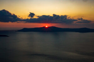
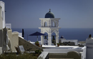
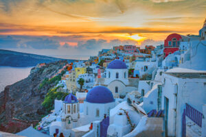
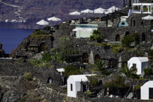
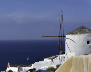
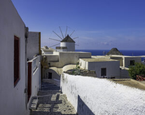
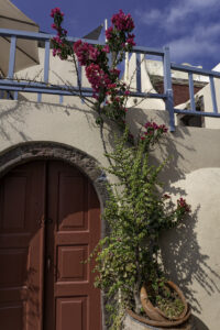
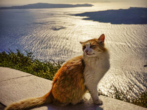
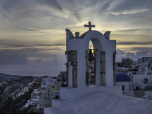
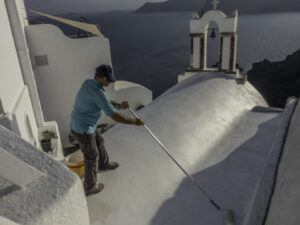
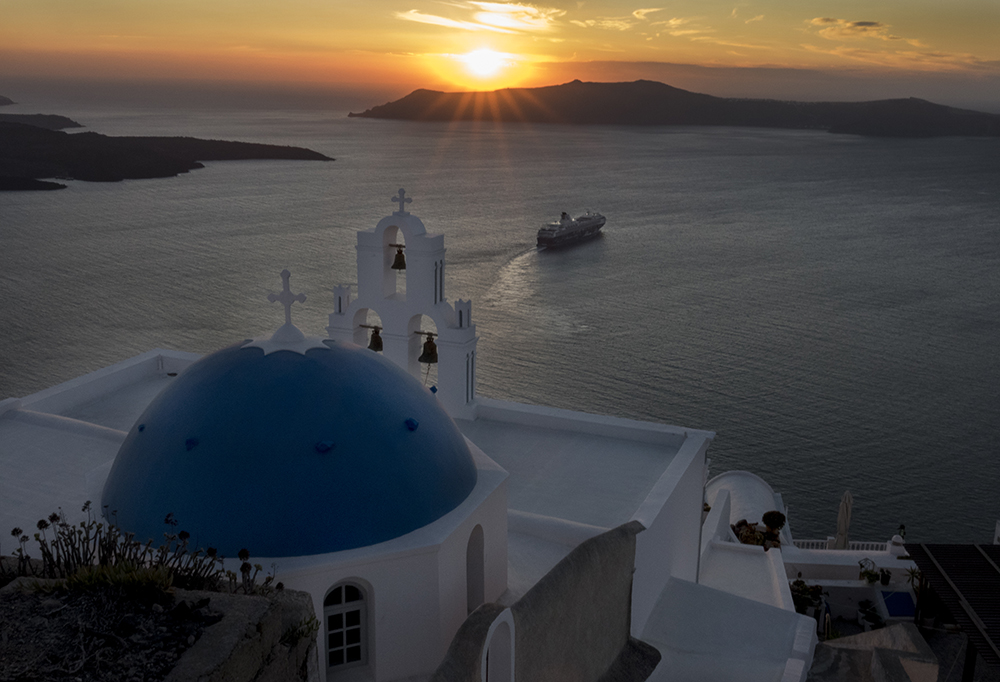
One of my favorite areas of Greece to visit. The bright blue sky, white wash houses, narrow walkways and steep cliffs and beautiful sunsets most every night!
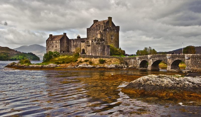
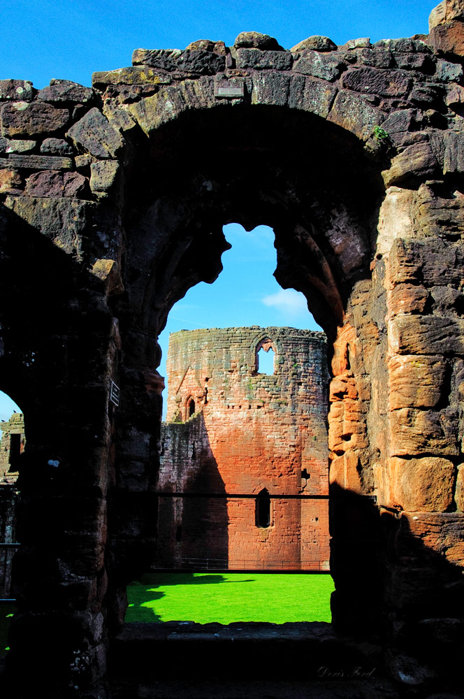
There is history that comes alive as we wonder through the ruins. Urquhart is known because of its location on Loch Ness, and the Loch Ness monster. Scone Palace is well preserved and the world famous crowning place of the King of Scots. It is one of the finest examples of late Georgian Gothic style in the UK. It is an interesting hike to the Dunnottar Castle, a ruined medieval fortress possibly fortified in the Early Middle Ages.
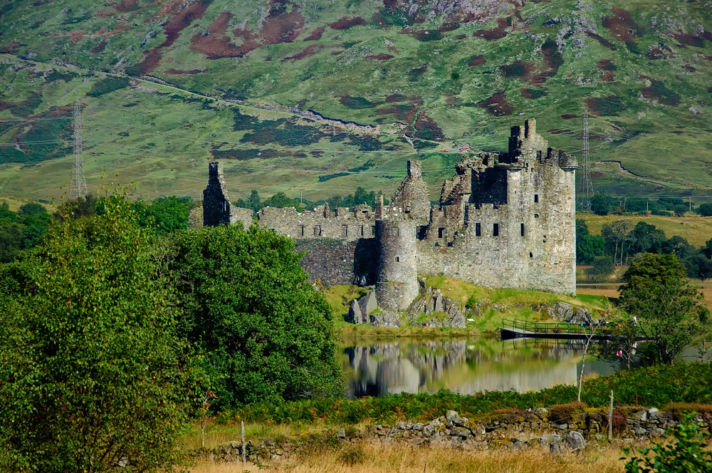
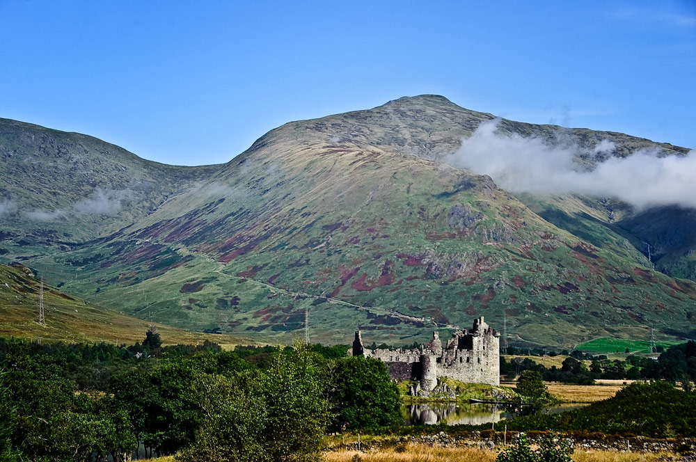
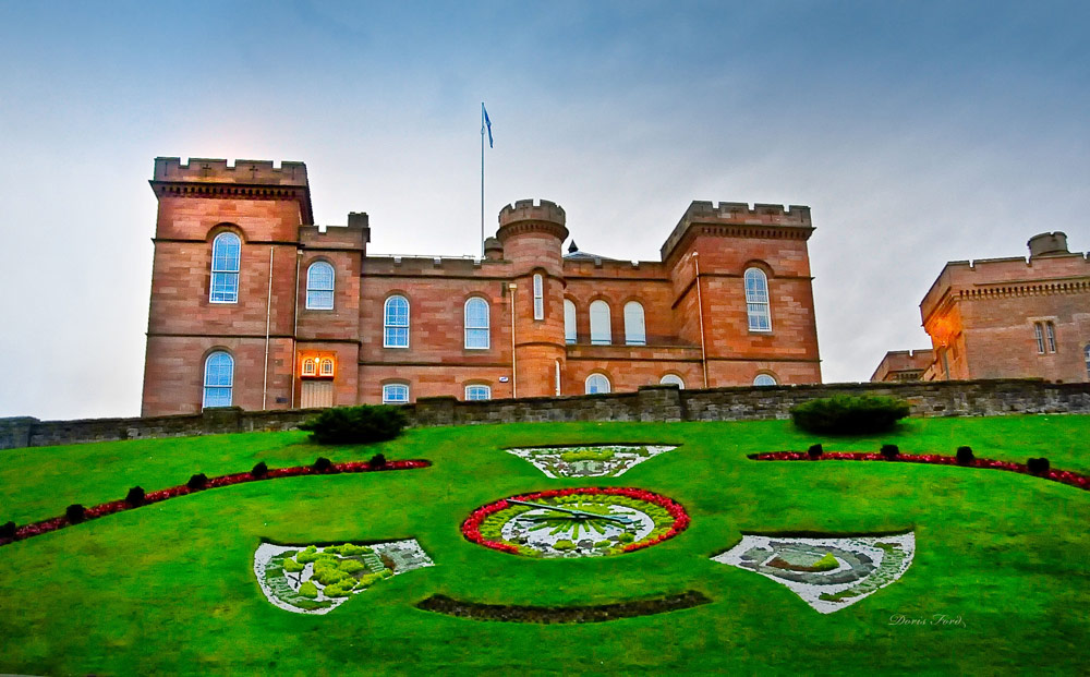
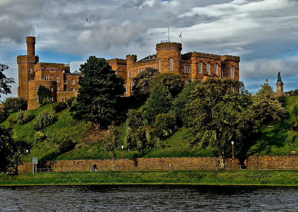
Sterling Castle, sitting atop Castle Hill is one of the largest and most important castles in Scotland, both historically and architecturally. Traquair House, the oldest continually inhabited house in Scotland. It was visited by 27 Scottish Kings and Queens and has been lived in by the Stuart family since 1491. Mount Stuart Castle is a sumptuous 19th-century mansion, with extravagant interiors and expansive landscaping and wild gardens. Kilchurn Castle was built in the mid 1400s on the northeastern end of Loch Awe. The ruins can be visited and the reflection on the Loch is beautiful. Explore Eilean Donan, a 13th Century Castle in the Highlands of Scotland and one of the most iconic images of Scotland. Inverness Castle sits on a cliff overlooking the River Ness in Inverness. A fortification has existed here since at least the sixth century, and rebuilt, added on to, finally rebuilt to house the Sheriff Courthouse and Country Hall. It remains in use as a court and therefore, at this time, access is limited to the exterior.
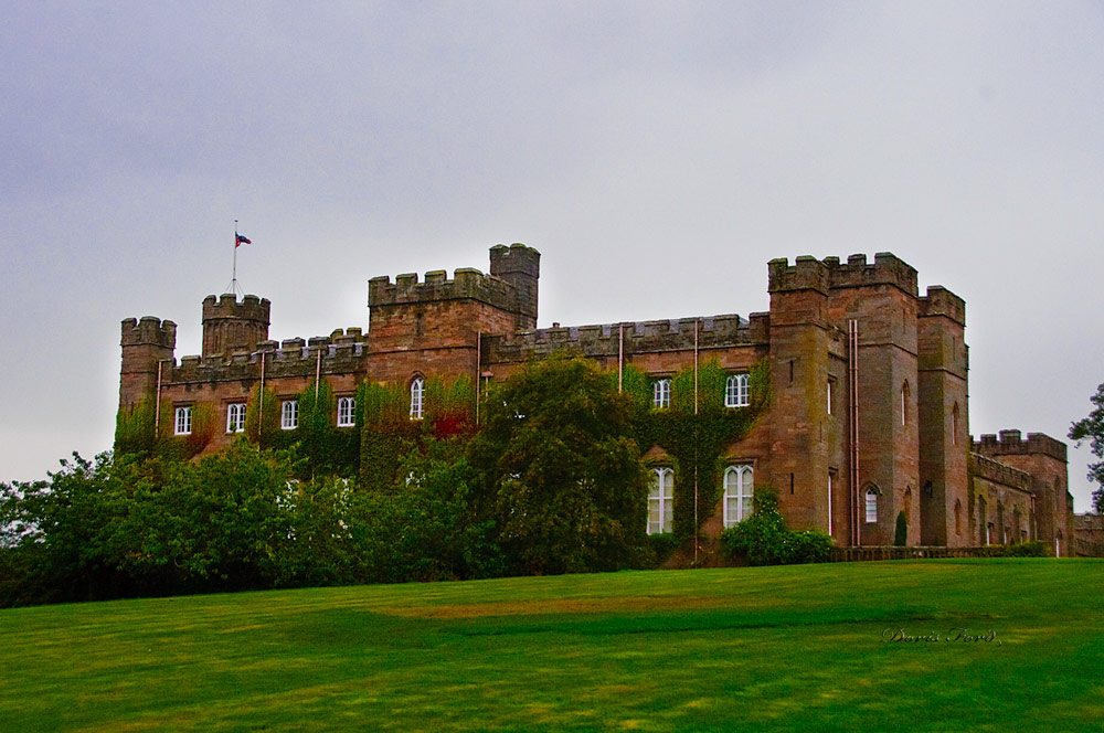
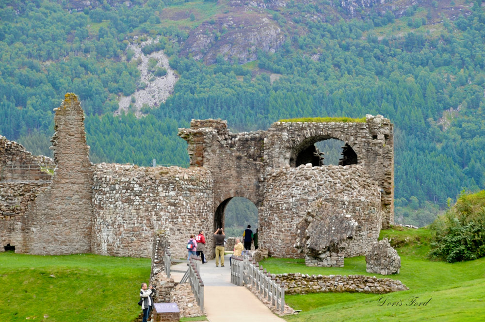

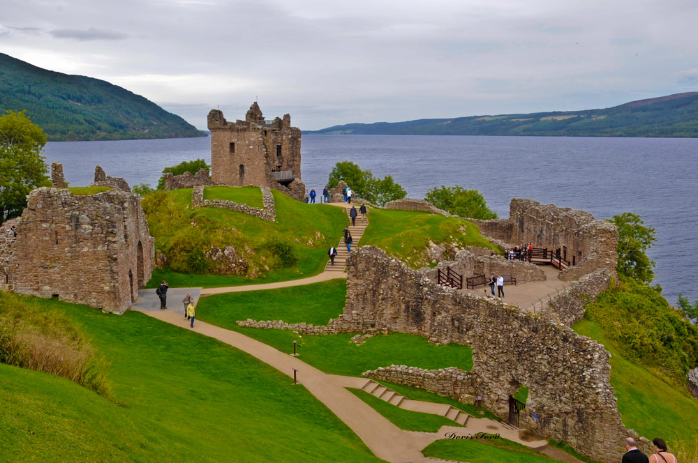

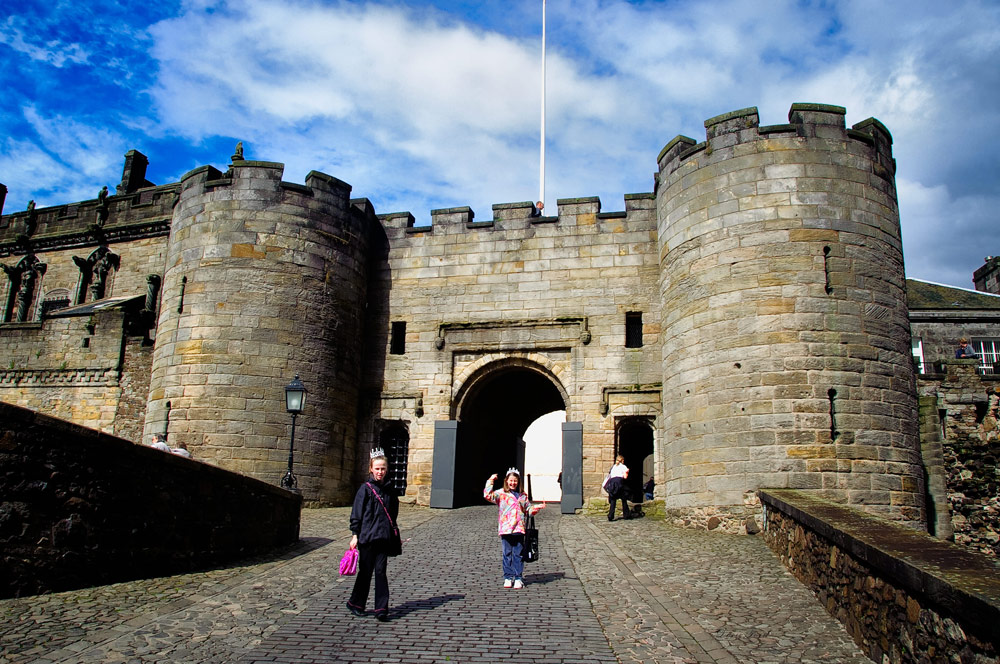
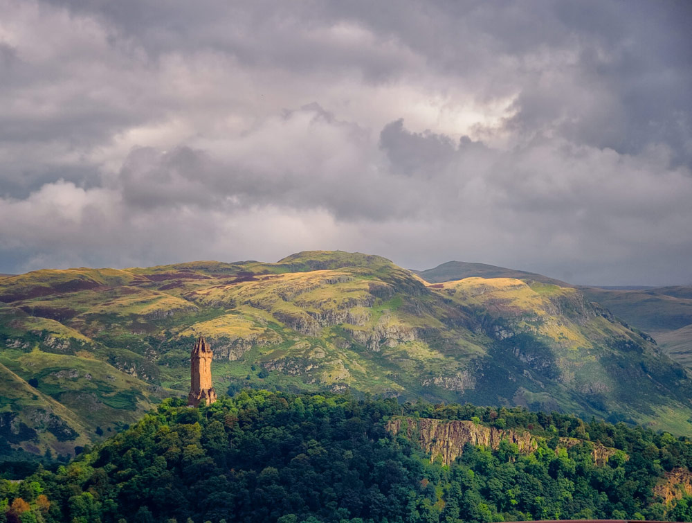
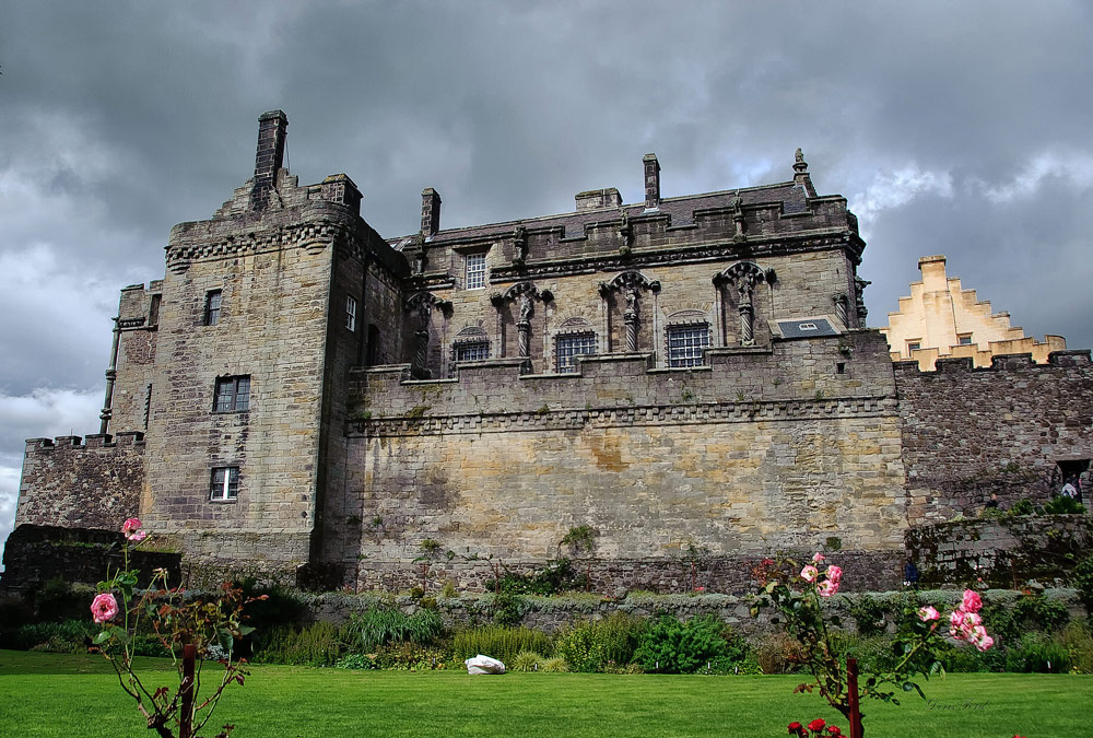
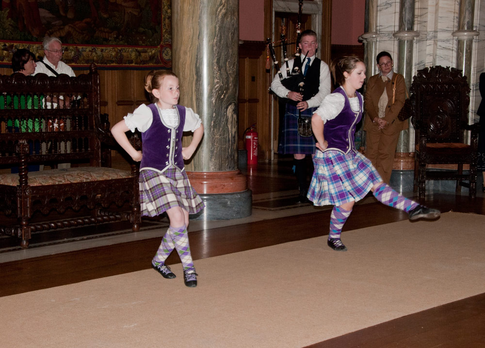
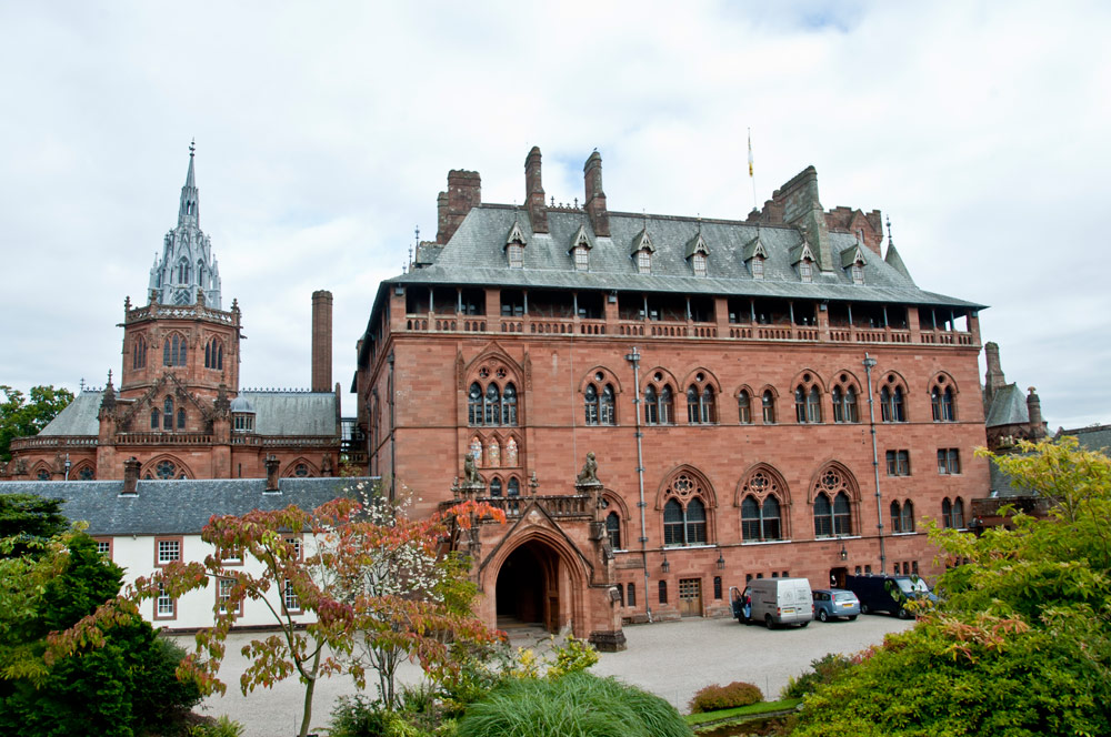
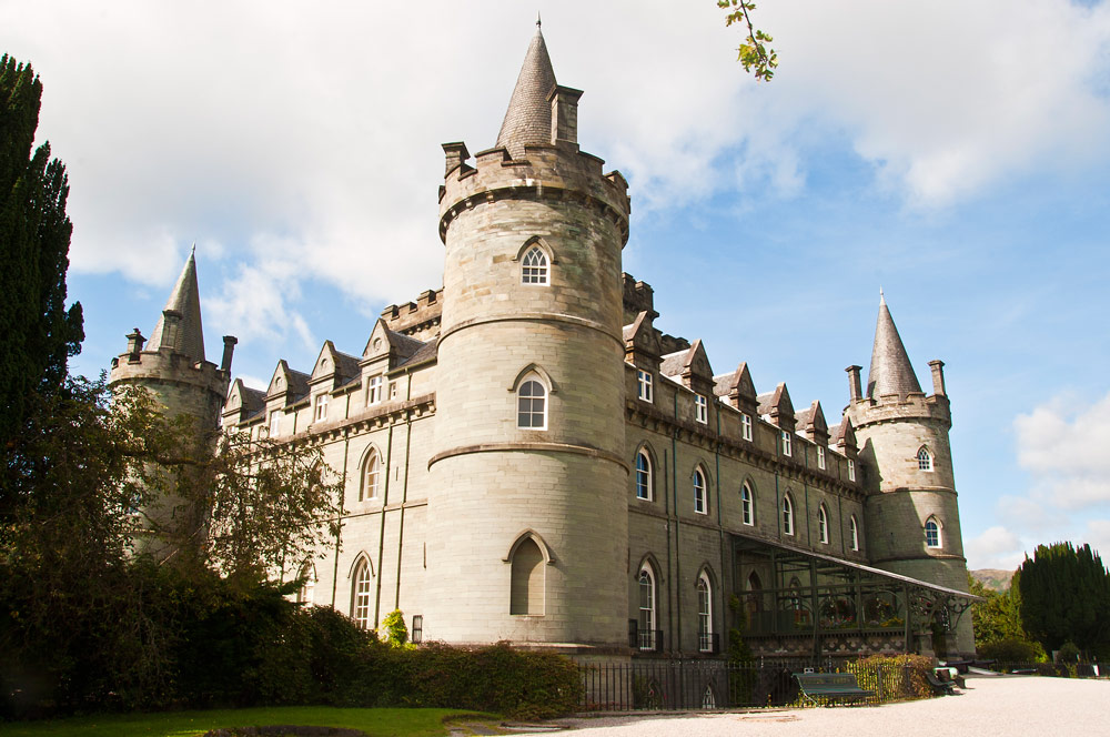
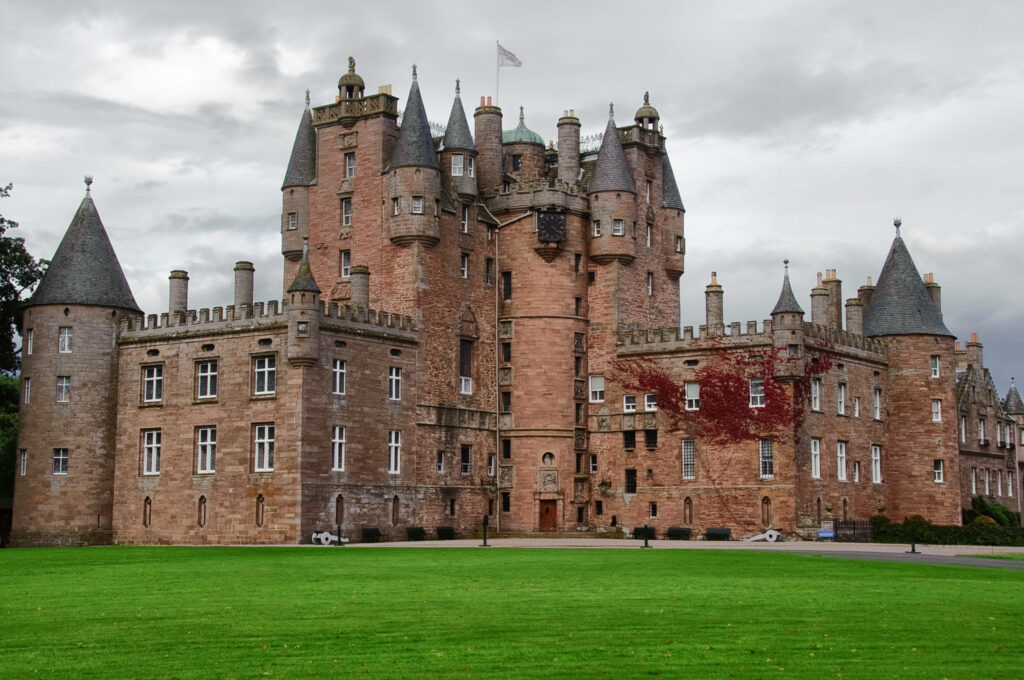
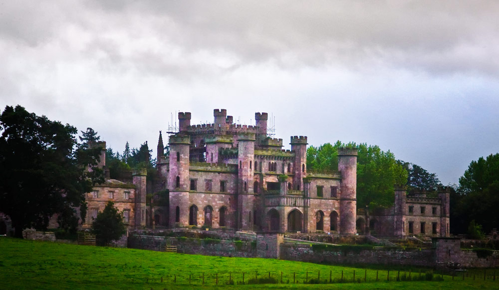
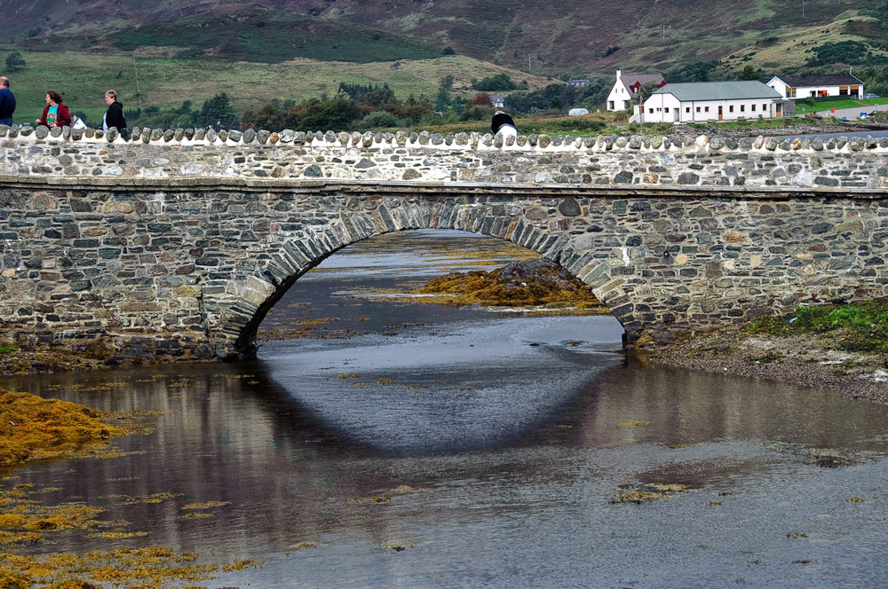
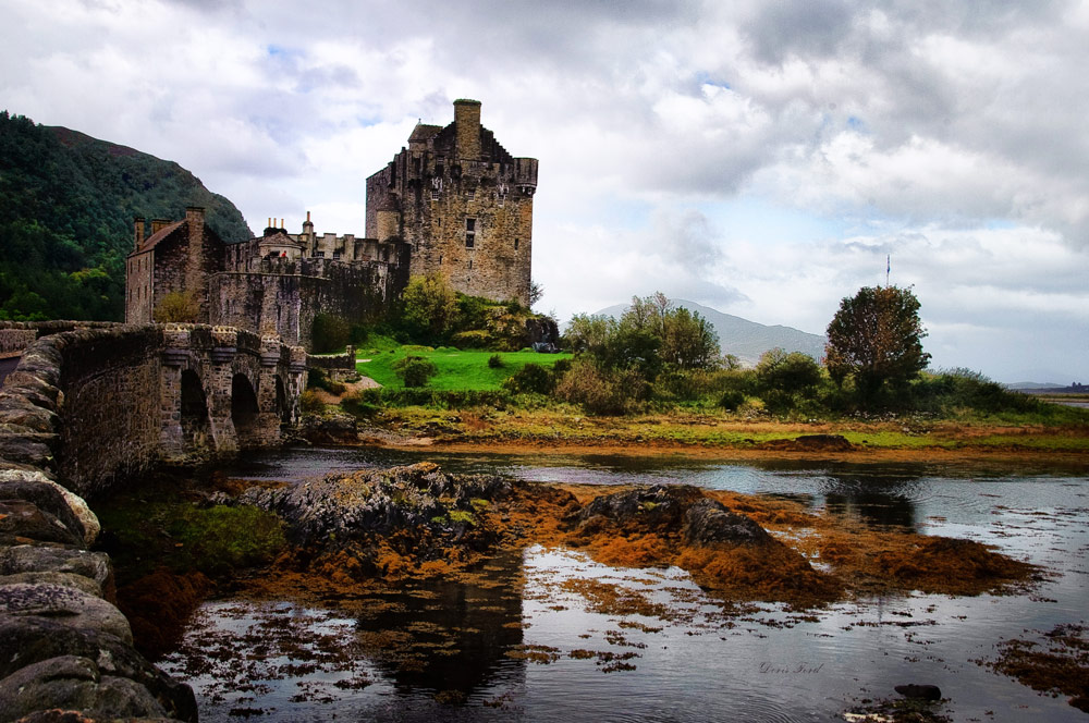

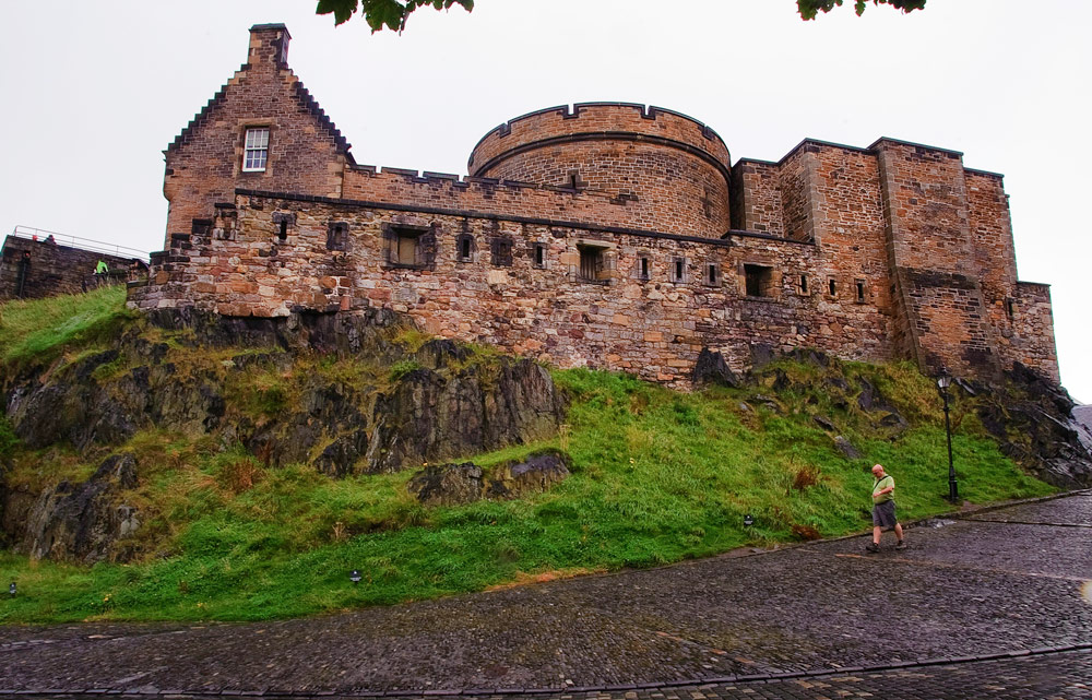
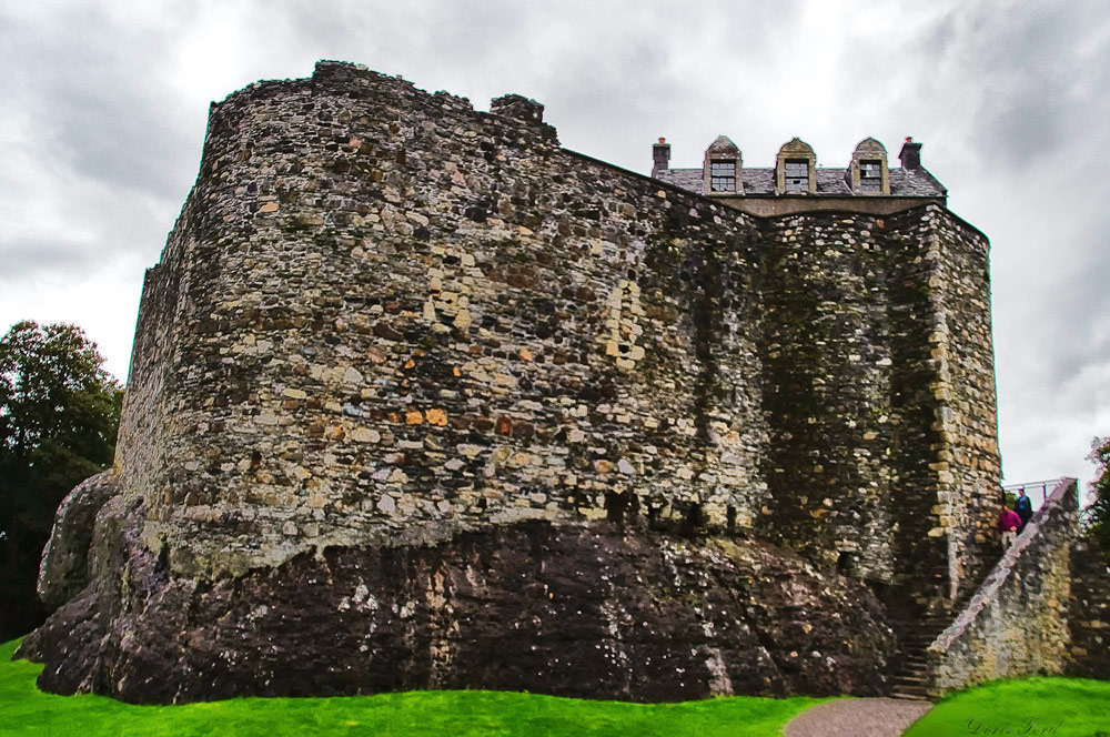
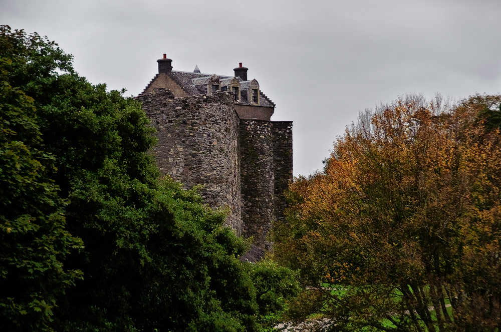
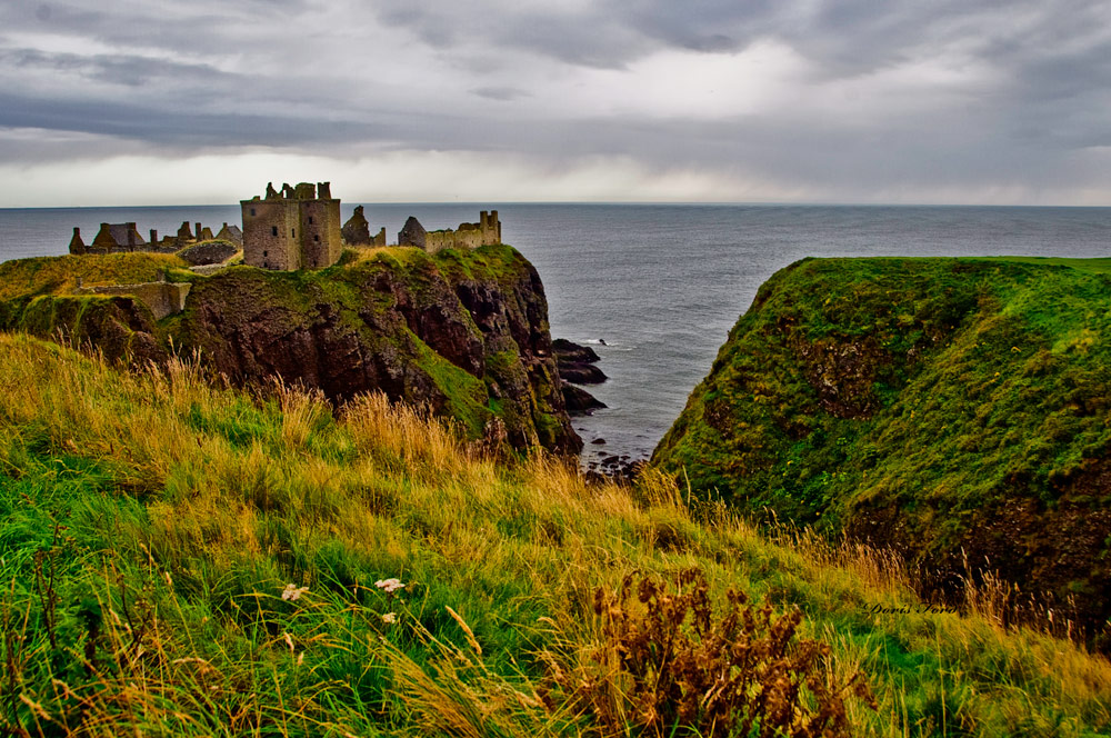
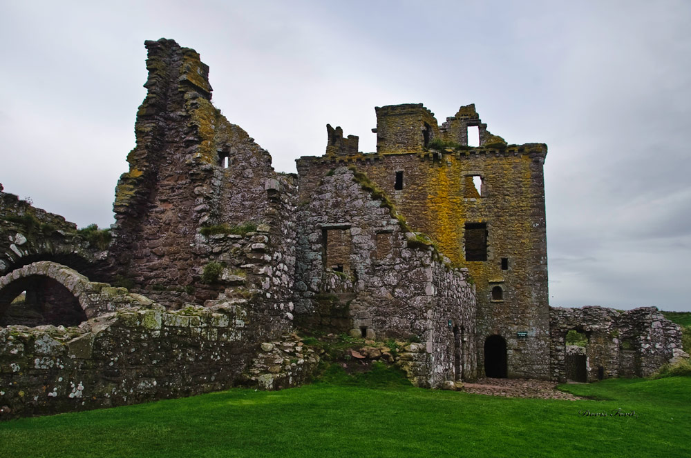
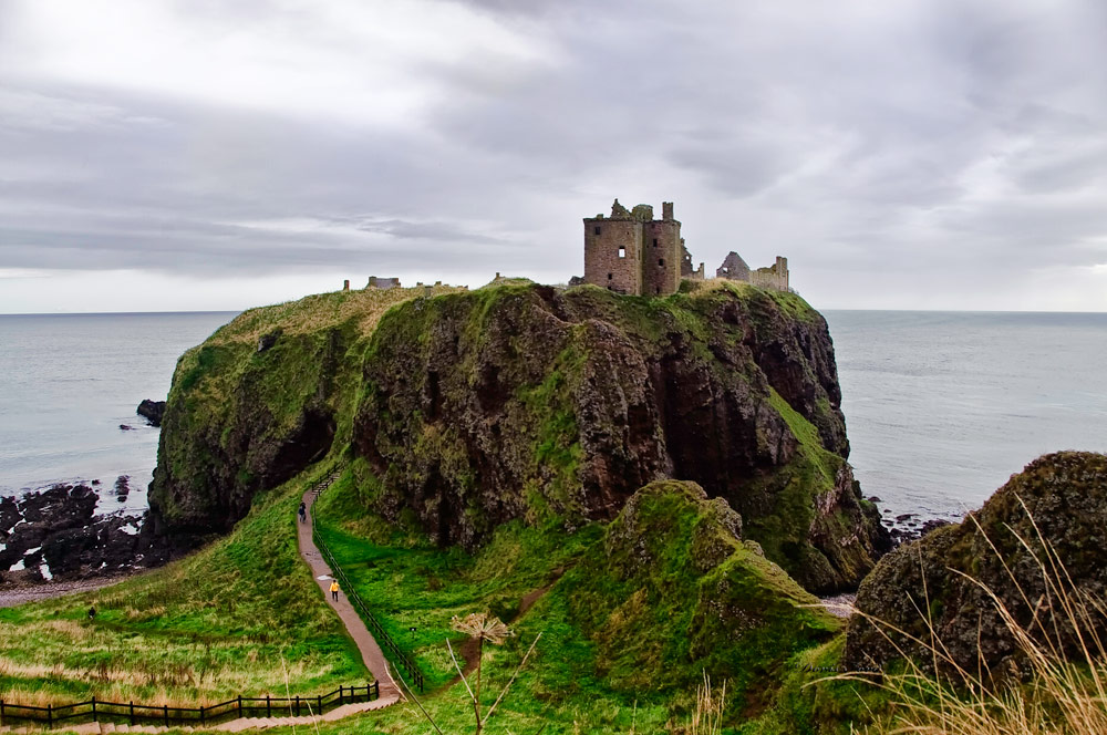
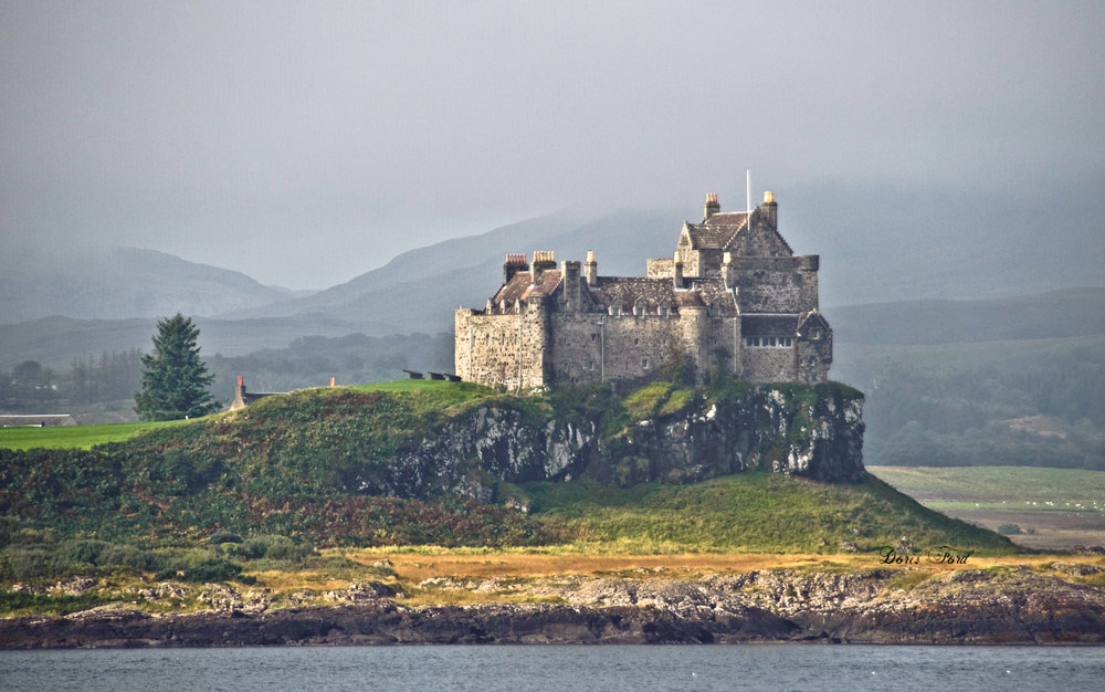
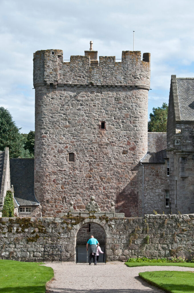
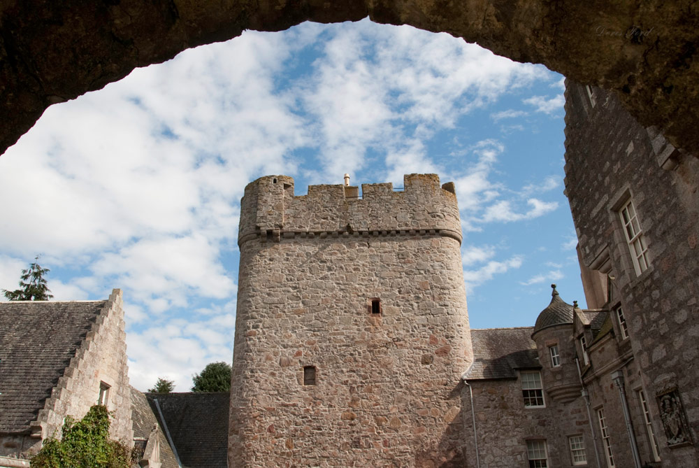
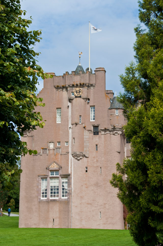
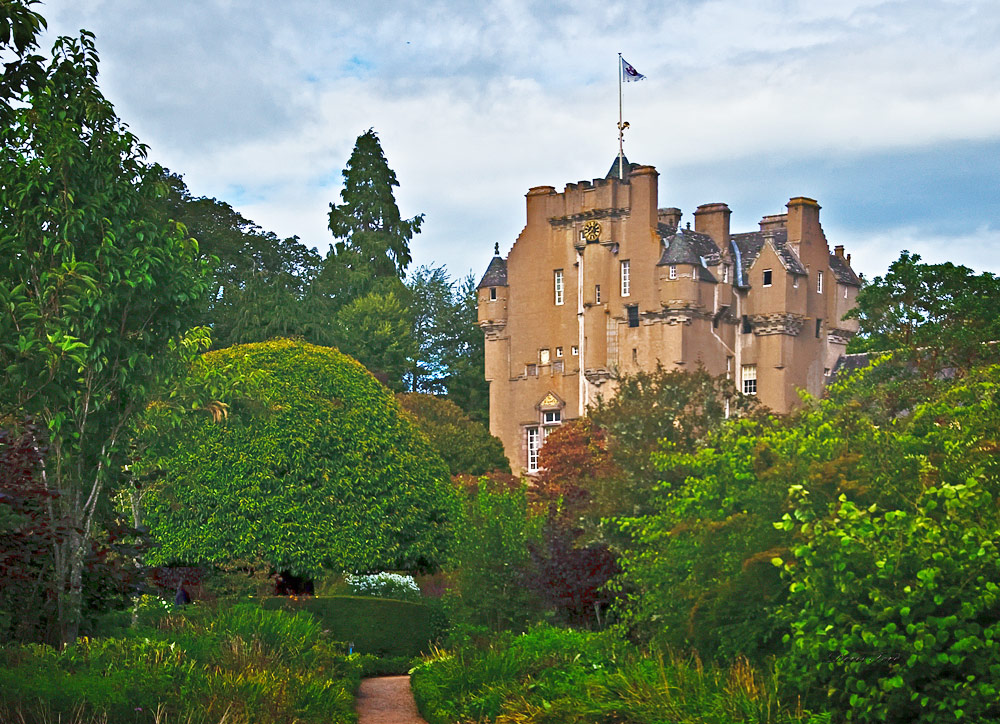
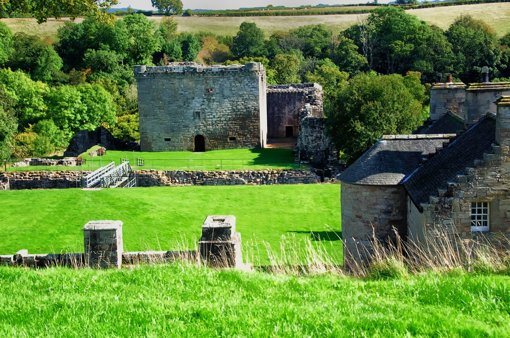
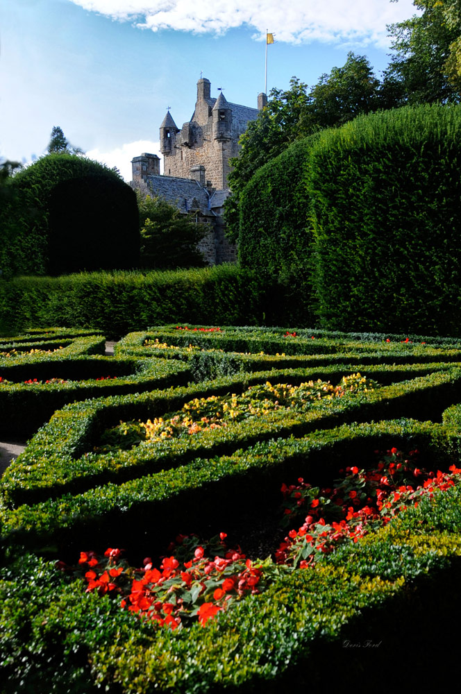
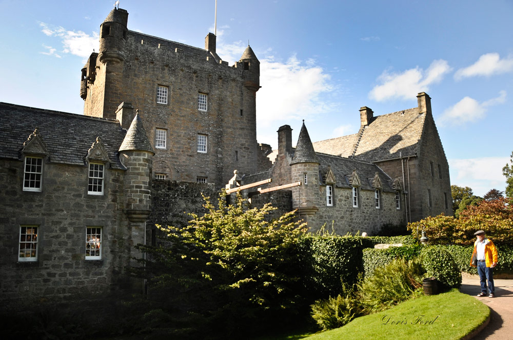
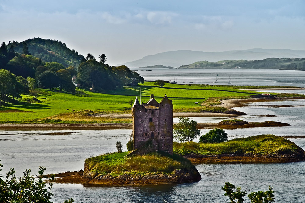
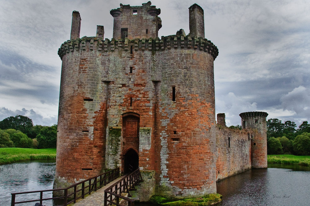
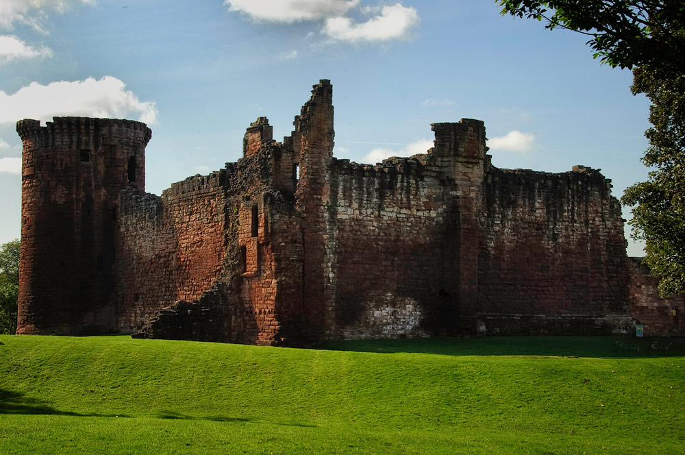
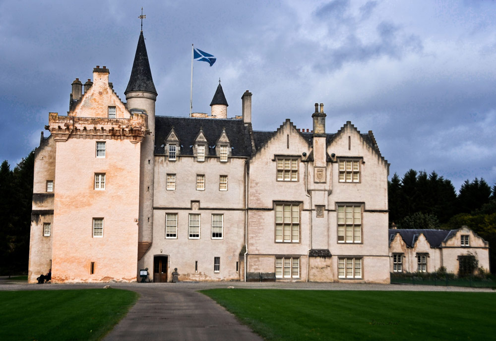
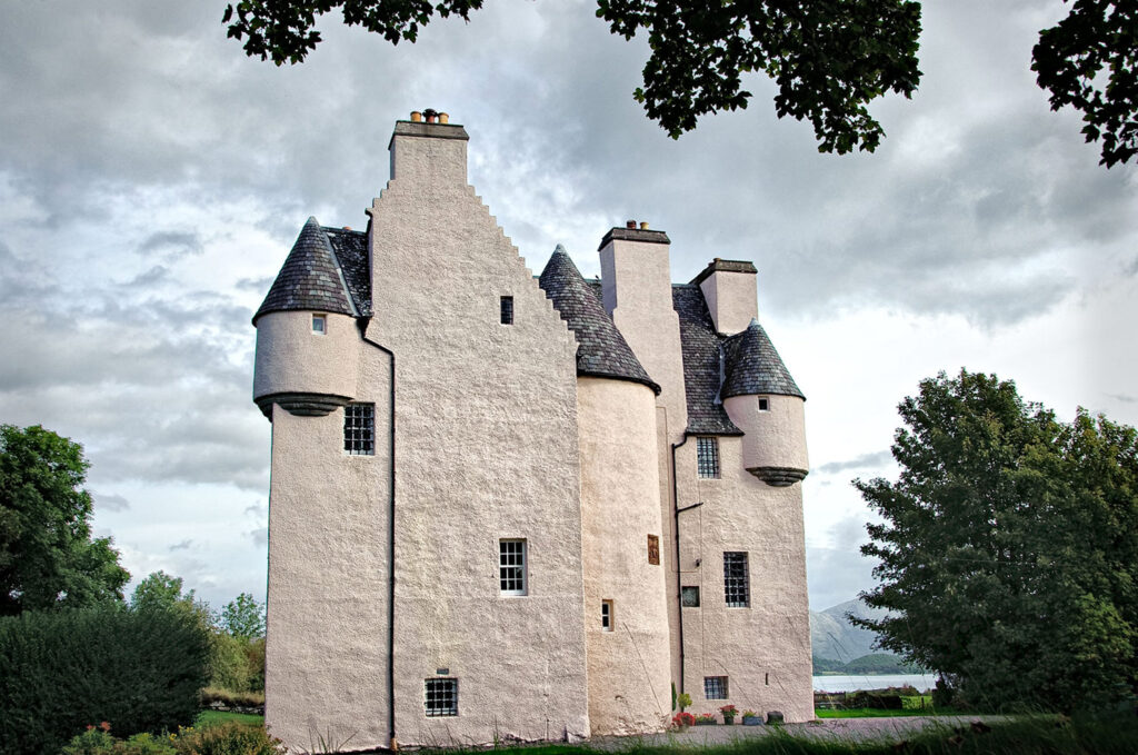
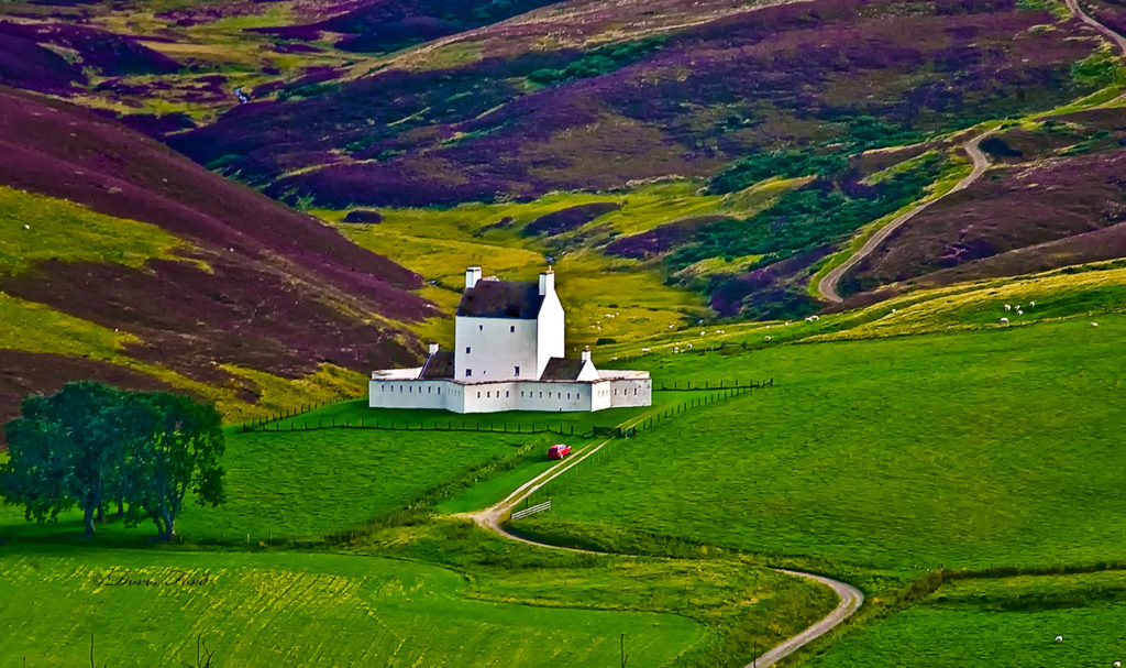
Barcaldine Castle is a 17th century tower house and is now a luxury Bed and Breakfast Guest House. Corgarff Castle was built in 1550 then converted to a barracks for government troops in 1748. It is still complete with its 18th star-shaped fortification and sits surrounded by heather covered hills.
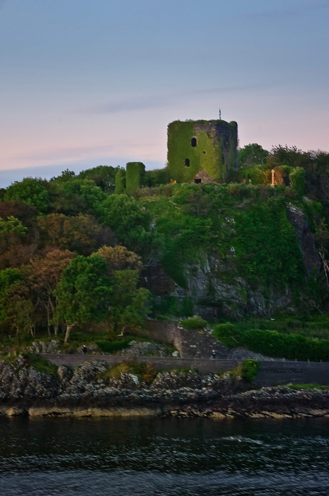
Caerlaverock Castle is a moated triangular castle first built in the 13th Century. It was once caught up in bloody border conflicts but now a popular filming location. Dunollie Castle is a small ruined castle now covered by greenery, but open to the public for tours. Dunstaffnage Castle built in 1220s is a partially ruined castle near Oban, and is surrounded on three sides by the sea. Crathes Castle cared for the National Trust for Scotland is a classic Tower house whose interior and gardens can be toured and enjoyed. Nearby Drum Castle is one of Scotland’s oldest tower houses also cared for by the National Trust while touring one can explore 700 years of history. Craignethan Castle is another ruined castle with a tower built in the 16th century. The last medieval castle to be built in Scotland. Cawdor Castle, a romantic Highland Castle is set amid beautiful formal gardens originally built around a 15th century tower house.
Castle Stalker is a privately owned 14th century four-story tower house located on a small patch of land on Loch Laich. It is very picturesque when viewed from the road, and one can kayak to get closer to walk around the tower, and request a guided tour. Bothwell Castle, the largest and finest 13th century stone castle much fought over during the Wars of Independence with England. even though it sustained much damage it still continues to be one of the most spectacular pieces of medieval architecture across the whole of Scotland. 13th Century Duart Castle is located on the Isle of Mull, restored and open for tours, beautiful tea room and spectacular location for weddings. Glamis Castle is beautiful, a living, breathing monument to Scottish heritage, hospitality and enjoyment for all. It was the inspiration for Shakespeare’s Macbeth, the childhood home of HM Queen Elizabeth the Queen Mother and birthplace of HRH Princess Margaret. Inveraray Castle is a beautiful stately home and an early example of Gothic Revival architecture. Accommodation is available, and an episode of Downton Abby was partly filmed there. Edinburgh Castle is an historic fortress which dominates the skyline of Edinburgh was once the residence of Scottish monarch and now serves mostly as a museum. The Royal Military Tattoo is an annual series of military tattoos performed by British Armed Forces, Commonwealth and international military bands and artistic performance teams on the esplanade of Edinburgh Castle.
www.visitscotland.com
https://www.historic-uk.com/HistoryMagazine/DestinationsUK/CastlesinScotland/
https://www.visitscotland.com/see-do/attractions/castles/great-scottish-castles/
https://en.wikipedia.org/wiki/Prince_Christian_Sound
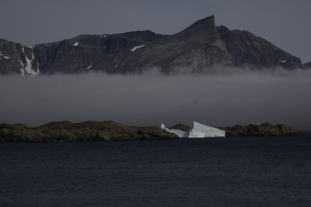
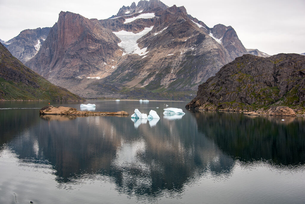
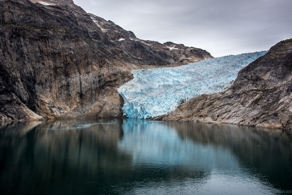
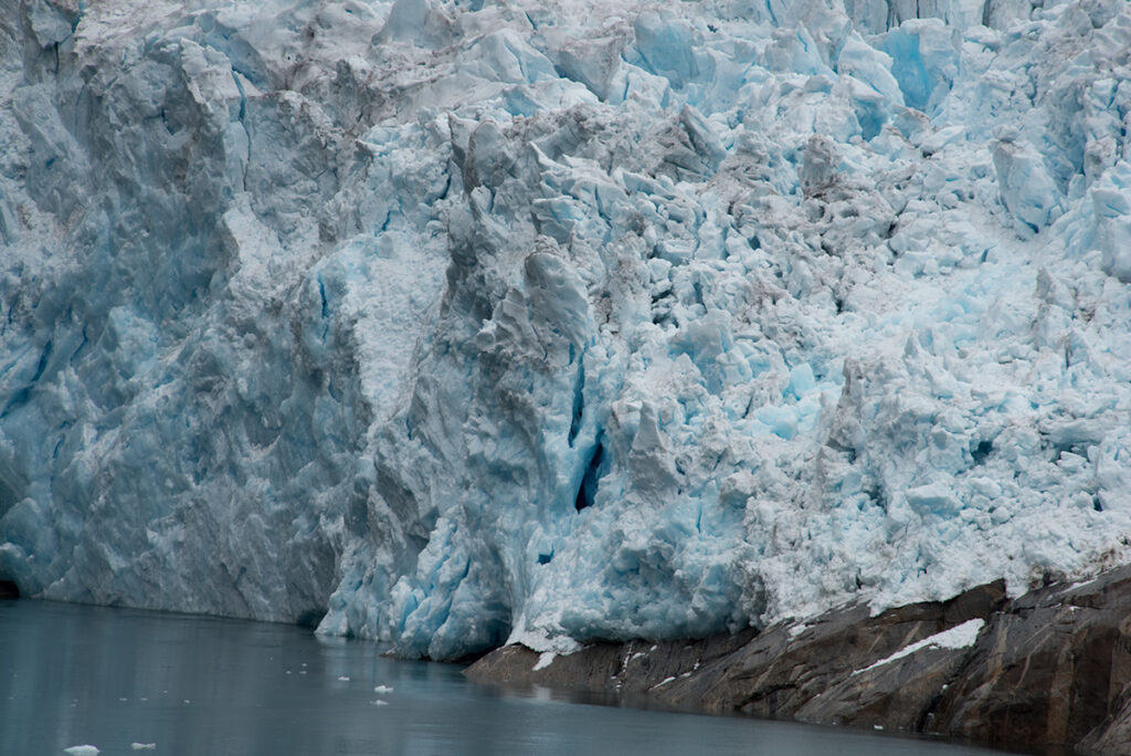
The Prince Christian Sound (Greenlandic: Ikerasassuaq;[1] Danish:Prins Christians Sund) is a waterway in Southern Greenland. It separates the mainland from Sammisoq (Christian IV Island) and other islands of the Cape Farewell Archipelago near the southernmost tip of Greenland. The name was given in honour of the prince, later king Christian VIII of Denmark.[2]
The Prince Christian Sound connects the Labrador Sea with the Irminger Sea. It is around 100 km (60 miles) long and it is narrow, sometimes only 500 metres (1,600 ft) wide. There is only one settlement along this sound, Aappilattoq. Few from the outside world have visited this village but several years ago I was able to I will publish pictures from this visit at a later time.
The long fjord system is mostly surrounded by steep mountains in general reaching over 1,200 metres (3,900 ft), one of them 2,220 metres (7,280 ft) high[3][4] Many glaciers go straight into its waters where they calve icebergs. There are often strong tidal currents limiting the formation of ice. It has many offshoots, such as Kangerluk to the north midway through the fjord, Ikeq Fjord in the south, and in the west Ilua Fjord, Ikerasaq Fjord (Akuliarutsip Imaa), Utoqqarmiut Fjord (Pamialluup Kujatinngua) and the Torsukattak Fjord.[5]
Polar Park Arctic Wildlife Center – The world’s northernmost animal park and home to Norway’s large predators such as bears, wolves, and lynx as well as deer, moose, reindeer and muskox.
Polar Park is an animal park in Bardu municipality in the county of Troms.
Opened in 1994, the park is based on exhibiting animals in their natural surroundings which means that each species also gets a lot of room to romp around.
With 1100 dekar (1 dekar = 1000 square meters) in only 12 enclosures, the Polar Park is one of the animal parks in the world with the most area per animal.
Polar Park is more than a traditional zoo. They place great emphasis on animal welfare and give animals large areas to create a habitat as natural as possible for the animals.
https://www.tripadvisor.com/Attraction_Review-g2416521-d2622319-Reviews-Polar_Park-Bardu_Municipality_Troms_Northern_Norway.html
About Polar Park
Stavangar Norway
Lets take a Walk through an Historic city in Norway
Lets take a walk in Historic Stavanger, Norway’s fourth biggest city, behind Oslo, Bergen and Trondheim. Situated in Rogaland county on Norway’s west coast, there is something unique that sets Stavanger apart from the country’s other larger cities. It is a walk-able city and most attractions are easily reached.
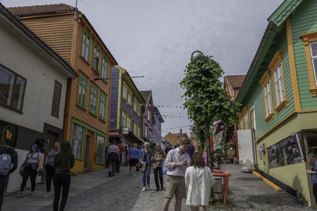
A large part of Stavanger is made up of timber structures. Lets take a walk to view some of the 8,000 wooden houses, and the largest wooden city in northern Europe. Walk up the narrow streets and enjoy the unique beauty of the old town.
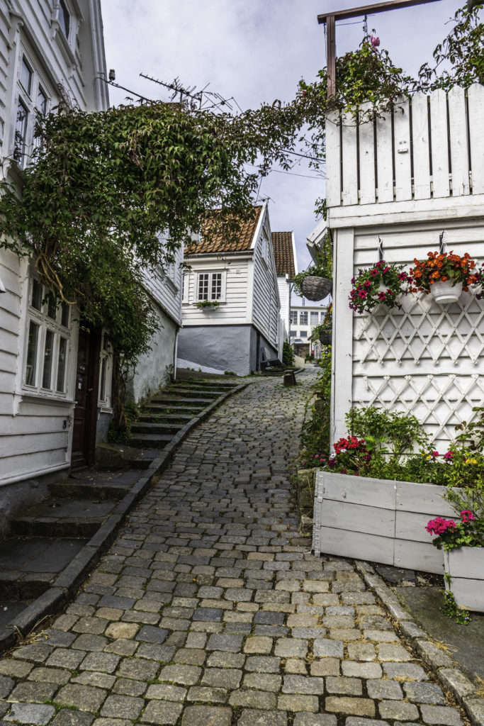
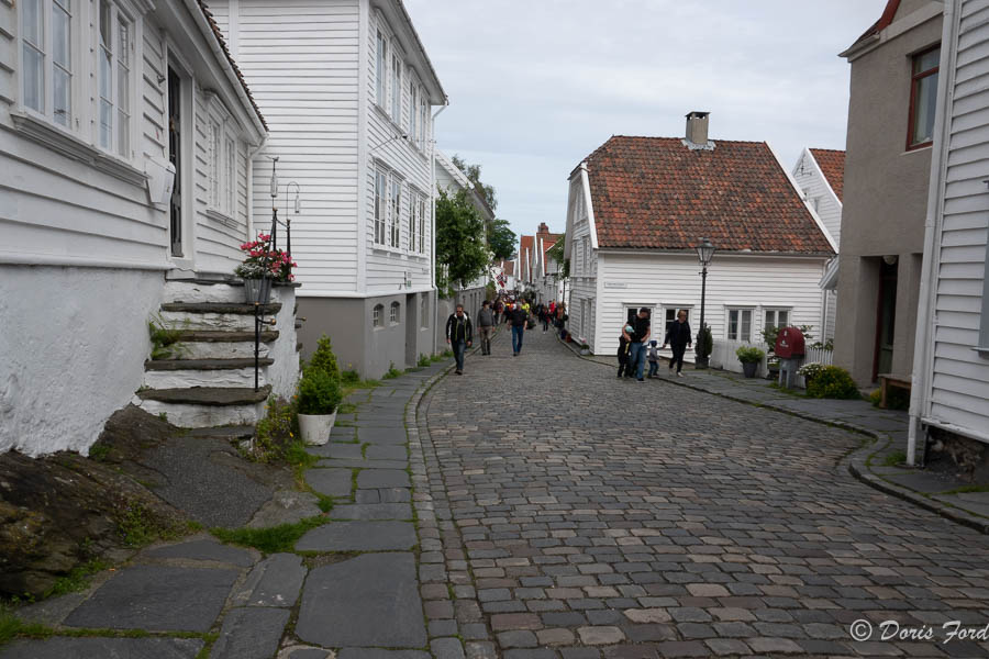
A large proportion of the city’s wooden houses were built in the eighteenth or nineteenth century. The oldest of them are perfectly preserved in the city’s historic Gamle Stavanger or Old Town.
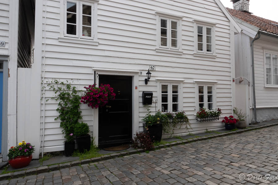
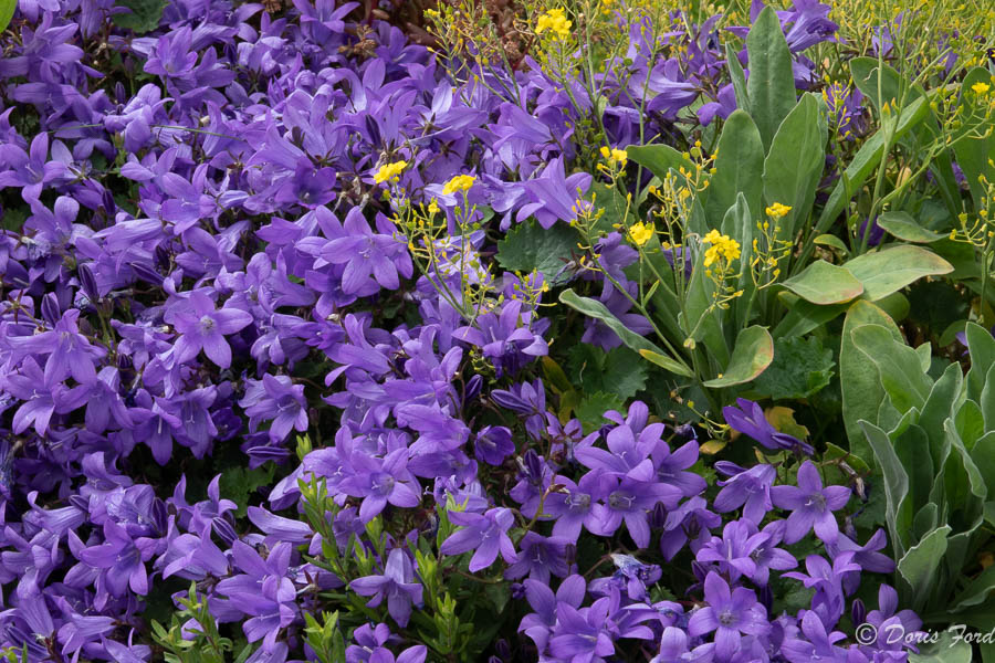
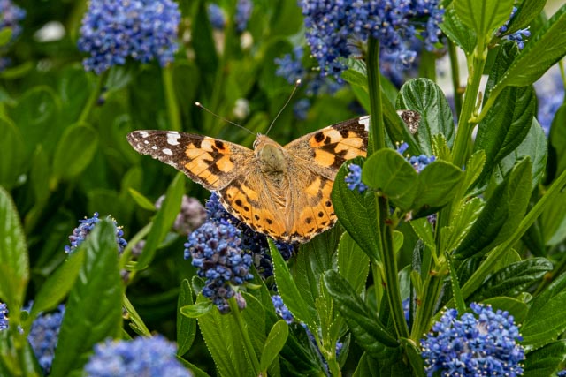
Many homes feature beautiful flowers in pots and baskets. Near these historic wooden houses, are colorful flowers and gardens, favorite places for bees and butterflies!
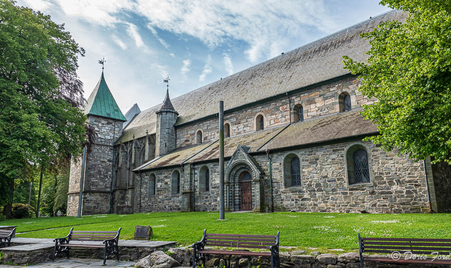
Stavangar has a beautiful Cathedral, the only Cathedral from the Middle Ages that has kept its original architecture, and the only Norwegian Cathedral in continuous use since the 1300s. Norway’s best-kept Cathedral is located within walking distance from the Stavanger harbor. According to tradition Stavanger Cathedral was built in 1125 after Sigurd Jorsalfarer named Stavanger a Cathedral city.
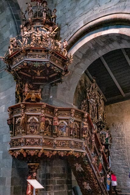
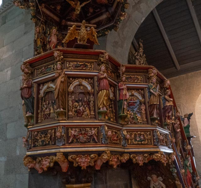
The most notable feature of the interior is the Pulpit that is post Reformation and dates back to the 1650s, Pulpit carvings cover the history of the Bible from Adam and Eve to the crowning of Christ, all carved on the Pulpit by a Scotsman, Andrew Smith,


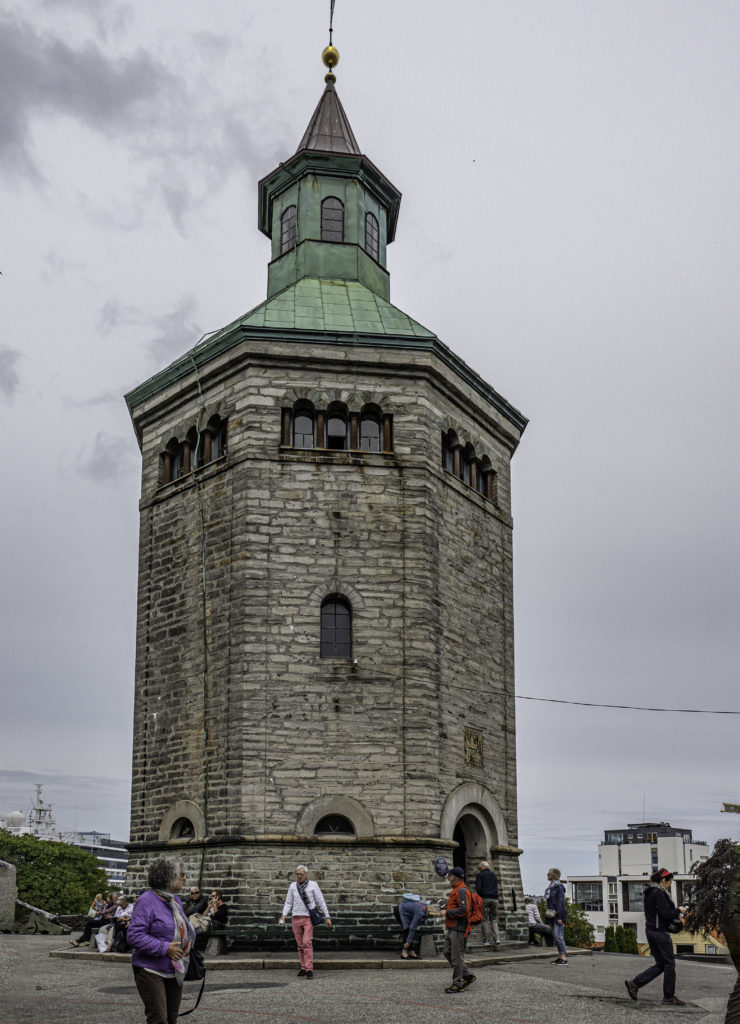
The Valberg tower (Valbergtårnet) was constructed from 1850 to 1853 and was the former observation tower of Stavanger. The tower was the permanent lodging of the watchmen in Stavanger. Among their duties was to alert the people in town when there was a fire. Tobias Sandstol was the last watchman and worked 18 years until 1922.
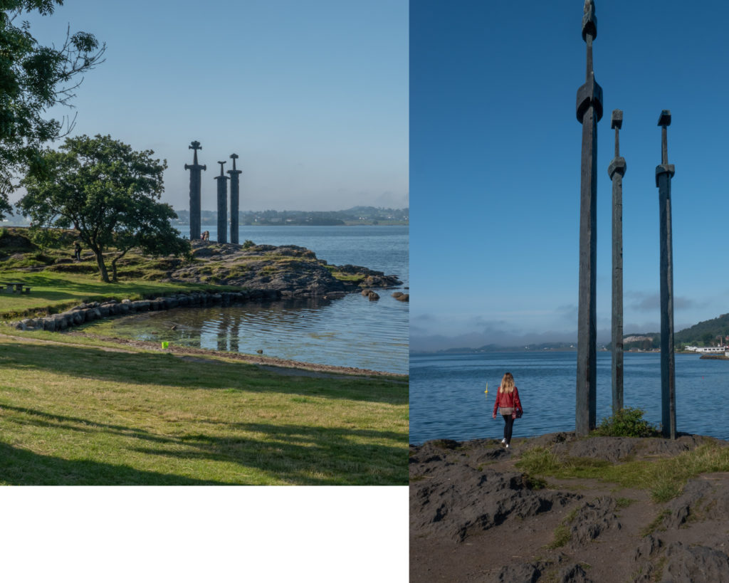
Outside of town are the famous buried swords of Hafrsfjord. This historic site commemorates the battle of 872 AD. and where Harald Fairhair gathered Norway into one kingdom in the same year. The swords symbolize peace, unity and freedom, and buried in stone not to be used anymore, to encourage people to live in Peace.
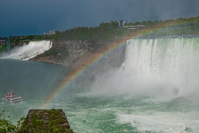
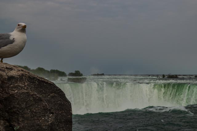
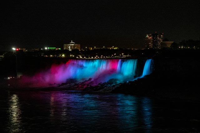
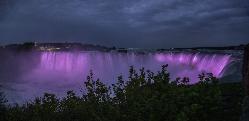
A visit to Niagara Falls
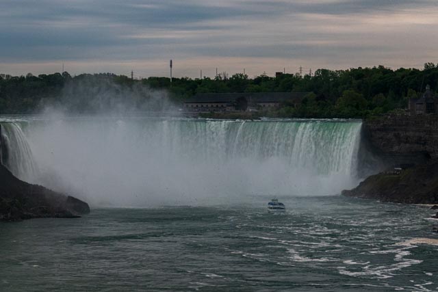
Niagara Falls is a group of three waterfalls at the southern end of Niagara Gorge, between the Canadian province of Ontario and the US state of New York. The largest is Horseshoe Falls, also known as Canadian Falls, which straddles the international border between Canada and the United States. The smaller American Falls and Bridal Veil Falls lie entirely within the United States. Bridal Veil Falls are separated from Horseshoe Falls by Goat Island and from American Falls by Luna Island.
Located on the Niagara River, which drains Lake Erie into Lake Ontario, the combined falls have the highest flow rate of any waterfall in North America that has a vertical drop of more than 50 metres (160 ft). During peak daytime tourist hours, more than 168,000 m3 (six million cubic feet) of water goes over the crest of the falls every minute Horseshoe Falls is the most powerful waterfall in North America, as measured by flow rate.
https://en.wikipedia.org/wiki/Niagara_Falls
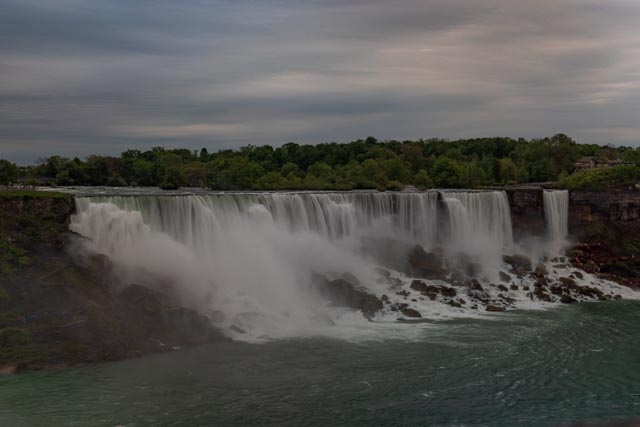
American Falls and Bridal Falls
Nara Japan
It was during Nara’s time as the capital of Japan (710-794) that Buddhism was established as a state religion and began to spread to other parts of the country.
Nara’s temples include such world famous UNESCO World Heritage listed temples such as Kofukuji, Todaiji Kasuga Shrine and Yakushiji which will be featured in this website. Please click on the pictures for more information on the photos.
Kōfuku-ji has its origin as a temple that was established in 669 by Kagami-no-Ōkimi (鏡大君), the wife of Fujiwara no Kamatari, wishing for her husband’s recovery from illness. Its original site was in Yamashina, Yamashiro Province (present-day Kyoto). In 672, the temple was moved to Fujiwara-kyō, the first planned Japanese capital to copy the orthogonal grid pattern of Chang’an. In 710 the temple was dismantled for the second time and moved to its present location, on the east side of the newly constructed capital, Heijō-kyō, today’s Nara.
Tōdai-ji (東大寺, Eastern Great Temple)[1] is a Buddhist temple complex that was once one of the powerful Seven Great Temples, located in the city of Nara, Japan. Its Great Buddha Hall (大仏殿 Daibutsuden) houses the world’s largest bronze statue of the Buddha[2] Vairocana,[3] known in Japanese as Daibutsu (大仏). The temple also serves as the Japanese headquarters of the Kegon school of Buddhism.
Kasuga Grand Shrine (春日大社 Kasuga-taisha) is a Shinto shrine in the city of Nara, in Nara Prefecture, Japan.[1] Established in 768 CE and rebuilt several times over the centuries, it is the shrine of the Fujiwara family. The interior is famous for its many bronze lanterns, as well as the many stone lanterns that lead up the shrine
The path to Kasuga Shrine passes through Deer Park where the deer are able to roam freely and are believed to be sacred messengers of the Shinto gods that inhabit the shrine and surrounding mountainous terrain. Kasuga Shrine and the deer have been featured in several paintings and works of art of the Nambokucho Period.[2] Over three thousand stone lanterns line the way.
The original Yakushi-ji was built in Fujiwara-kyō, Japan’s capital in the Asuka period, commissioned by Emperor Tenmu in 680 to pray for recovery from illness for his consort, who succeeded him as Empress Jitō. This act of building temples in devotion to Buddhist figures was a common practice among Japanese nobility when Buddhism was first imported from China and Korea. Emperor Tenmu had died by the time Empress Jitō completed the complex around 698; and it was disassembled and moved to Nara eight years after the Imperial Court settled in what was then the new capital.
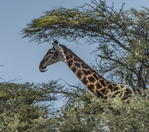
African Safari in Serengeti and Sabi Sand South Africa, also visits to Arusha National Park, and Nogoronogoro Caldera;
An African Safari is an wonderful experience, and time in Africa involving several safaris is even more amazing. Up at 5:30 every morning and in the trucks for the Game Drive by 6:00 takes some getting used to, but the anticipation of what we will see each day makes the early rising well worth it.
The photos on this page were taken in multiple places; Arusha National Park, Nogoronogoro Caldera and Serengeti National Park all in Tanzania, and Sabi Sands near Kruger National Park in South Africa. The land areas and habitats of the Parks and Caldera are different and there are some differences in the animals one will see, but the wonder at the massive herds, variation in individual species is God’s plan and we can only view in awe.
We easily saw “the Big Five” and I display pictures of them.
“In Africa, the big five game animals are the lion, leopard, rhinoceros (both black and white species), elephant, and Cape buffalo. The term “big five game” (usually capitalized or quoted as “Big Five”) was coined by big-game hunters and refers to the five most difficult animals in Africa to hunt on foot.” https://en.wikipedia.org/wiki/Big_five_game
Serengeti National Park has UNESCO designation.
The photos are all for sale in the size of your choice.
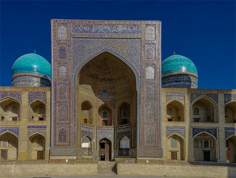
A visit to Bukhara
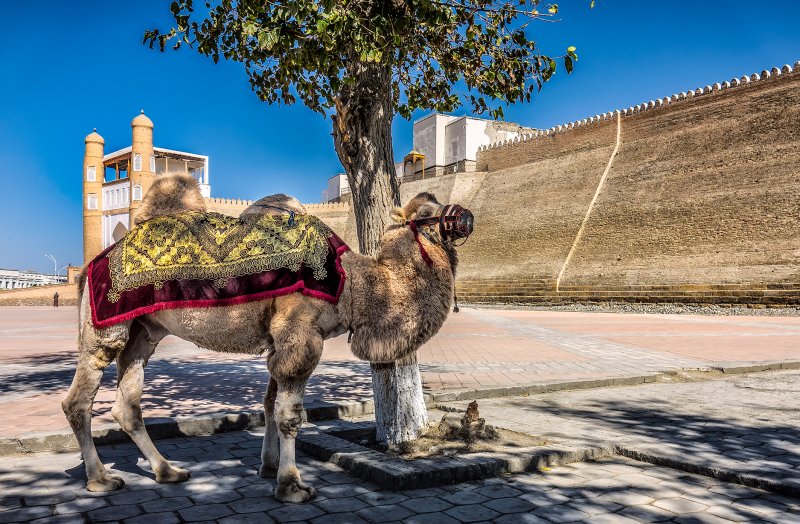
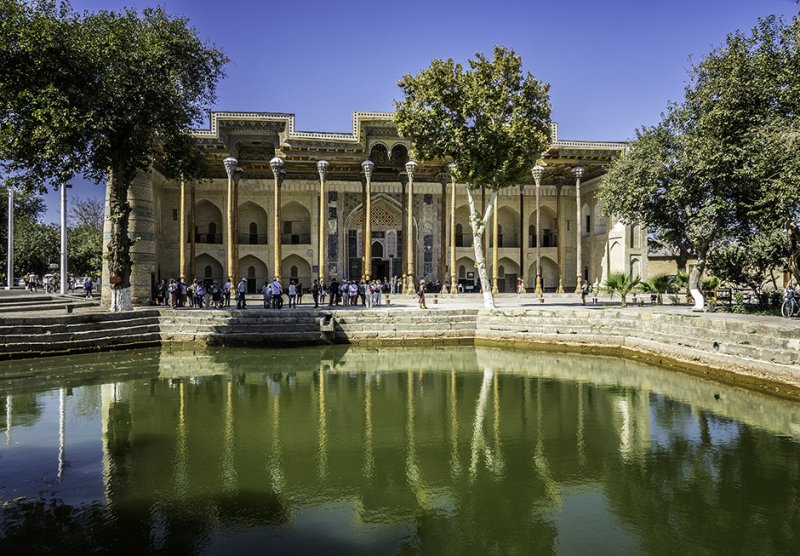
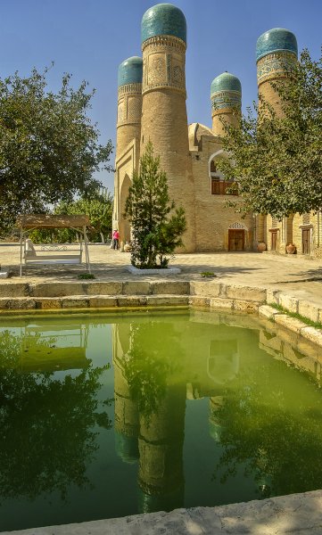
Bukhara Uzbekistan (Uzbek Latin: Buxoro; Uzbek Cyrillic and Tajik: Бухоро) Bukhara as an ancient city is a city-museum, with about 140 architectural monuments dating from the 9th to the 17th centuries. People have inhabited the region around Bukhara for at least five millennia, and the city has existed for half that time. Located on the Silk Road, the city has long served as a center of trade, scholarship, culture, and religion. UNESCO has listed the historic center of Bukhara (which contains numerous mosques and madrassas) as a World Heritage Site.
I recently traveled the Stans with Road Scholar. If you would like to go to the Stans and travel that part of the the Silk Road I highly recommend them. Bukhara is an interesting city with a “Surprise Behind Every Corner”. We stayed near a bazaar in a caravanserai, and had great fun shopping and sightseeing. I will show pictures from our trip, and hopefully infect you with the desire to visit this amazing area.

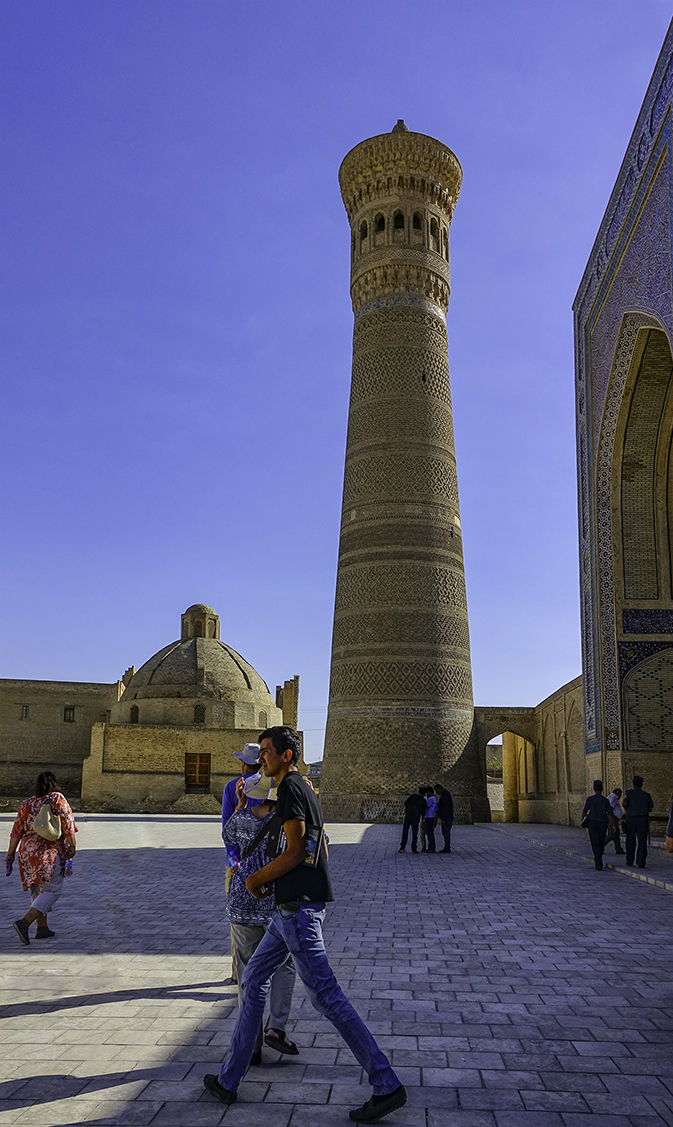
Beautiful monuments,
Beautiful monuments, One of the Oldest is;
Kalyan minaret. More properly, Minâra-i Kalân, (Persian/Tajik for the “Grand Minaret”). Also known as the Tower of Death, as according to legend it is the site where criminals were executed by being thrown off the top for centuries. The minaret is most famed part of the ensemble, and dominates over historical center of the city. The role of the minaret is largely for traditional and decorative purposes—its dimension exceeds the bounds of the main function of the minaret, which is to provide a vantage point from which the muezzin can call out people to prayer. For this purpose it was enough to ascend to a roof of mosque. This practice was common in initial years of Islam. The word “minaret” derives from the Arabic word “minara” (“lighthouse”, or more literally “a place where something burn”). The architect, whose name was simply Bako, designed the minaret in the form of a circular-pillar brick tower, narrowing upwards. The diameter of the base is 9 meters (30 feet), while at the top it is 6 m (20 ft). The tower is 45.6 m (150 ft) high, and can be seen from vast distances over the flat plains of Central Asia. There is a brick spiral staircase that twists up inside around the pillar, leading to the landing in sixteen-arched rotunda and skylight, upon which is based a magnificently designed stalactite cornice (or “sharif”).
About a hundred years after its construction, the tower so impressed Genghis Khan that he ordered it to be spared when all around was destroyed by his men. It is also known as the Tower of Death, because until as recently as the early twentieth century criminals were executed by being thrown from the top. Fitzroy Maclean, who made a surreptitious visit to the city in 1938, says in his memoir Eastern Approaches, “For centuries before 1870, and again in the troubled years between 1917 and 1920, men were cast down to their death from the delicately ornamented gallery which crowns it.
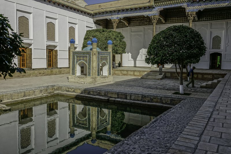
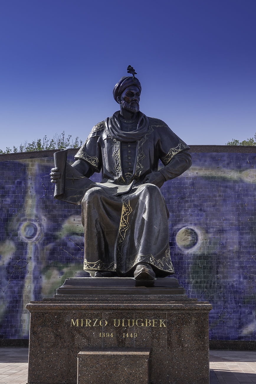
Ulugh Beg
Mīrzā Muhammad Tāraghay bin Shāhrukh better known as Ulugh Beg (الغ بیگ ) was a Timurid ruler as well as an astronomer, mathematician and sultan. His commonly known name is not truly a personal name, but rather a moniker, which can be loosely translated as “Great Ruler”